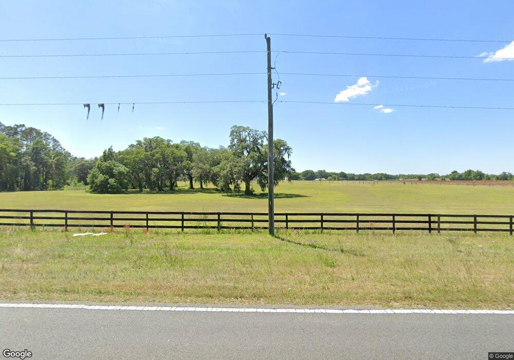
560 N Us Highway 41 Dunnellon, FL 34432
Estimated Value: $542,471
3
Beds
2
Baths
2,375
Sq Ft
$228/Sq Ft
Est. Value
About This Home
This home is located at 560 N Us Highway 41, Dunnellon, FL 34432 and is currently estimated at $542,471, approximately $228 per square foot. 560 N Us Highway 41 is a home located in Marion County with nearby schools including Ponderosa Elementary School, Romeo Elementary School, and Dunnellon Middle School.
Ownership History
Date
Name
Owned For
Owner Type
Purchase Details
Closed on
Apr 12, 2007
Sold by
Olson Dale L and Olson Sandra J
Bought by
Knapp Donald O and Donald O Knapp Revocable Living Trust
Current Estimated Value
Purchase Details
Closed on
Mar 30, 2007
Sold by
Olson Dale L and Olson Sandra J
Bought by
Olson Sandra J and Olson Dale L
Purchase Details
Closed on
Sep 18, 2006
Sold by
Johnson Jennifer J
Bought by
Blanton Nancy F
Purchase Details
Closed on
Aug 29, 2005
Sold by
Achtenhagen Cathy and Thompson Johnnie Allen
Bought by
Olson Dale L and Olson Sandra J
Create a Home Valuation Report for This Property
The Home Valuation Report is an in-depth analysis detailing your home's value as well as a comparison with similar homes in the area
Home Values in the Area
Average Home Value in this Area
Purchase History
| Date | Buyer | Sale Price | Title Company |
|---|---|---|---|
| Knapp Donald O | $350,000 | Affiliated Title Of Marion C | |
| Olson Sandra J | -- | Attorney | |
| Blanton Nancy F | -- | None Available | |
| Olson Dale L | -- | -- |
Source: Public Records
Tax History Compared to Growth
Tax History
| Year | Tax Paid | Tax Assessment Tax Assessment Total Assessment is a certain percentage of the fair market value that is determined by local assessors to be the total taxable value of land and additions on the property. | Land | Improvement |
|---|---|---|---|---|
| 2024 | $2,945 | $185,550 | $184,620 | $930 |
| 2023 | $2,945 | $94,204 | $0 | $0 |
| 2022 | $1,621 | $85,640 | $0 | $0 |
| 2021 | $1,322 | $77,855 | $76,925 | $930 |
| 2020 | $90 | $4,511 | $3,581 | $930 |
| 2019 | $90 | $4,511 | $3,581 | $930 |
| 2018 | $85 | $4,383 | $3,453 | $930 |
| 2017 | $87 | $4,487 | $3,325 | $1,162 |
| 2016 | $106 | $4,593 | $0 | $0 |
| 2015 | $105 | $4,633 | $0 | $0 |
| 2014 | $674 | $40,877 | $0 | $0 |
Source: Public Records
Map
Nearby Homes
- 564 N Us Highway 41
- 396 N Us Highway 41
- 18700 W Highway 328
- 1220 N Us Highway 41
- 18975 W Highway 328
- 19340 SW 5th Place
- 20221 SW 5th Place
- 17025 W Highway 328
- 20530 SW 5th Place
- 0 NW 190th Ave
- 18485 W Highway 328
- 19355 SW 25th Place
- 0 NW 27th St
- 1161 SW 210th Ave
- 19591 SE 77 Place
- 20551 SE 80th St
- TBD W Highway 328
- 2600 SW 189th Ave
- 19189 SW 29th St
- 17290 W Highway 328
- 560 N Us Highway 41
- 396 N Us Highway 41
- 19633 NW 13 St
- 19632 NW 13th St
- 19632 NW 13th St
- 19300 NW 13th St
- 26 N Us Highway 41
- 19633 NW 13th St
- 00 N Highway 41
- 10 U S 41
- 19636 NW 13th St
- 46 S Us Highway 41
- 41 N Us Highway 41
- 19695 NW 13th St
- 19379 SW 5th Place
- 19656 NW 13th St
- 19656 NW 13th St
- 1020 N Us Highway 41
- 1020 N Us Highway 41
- 1020 U S 41
