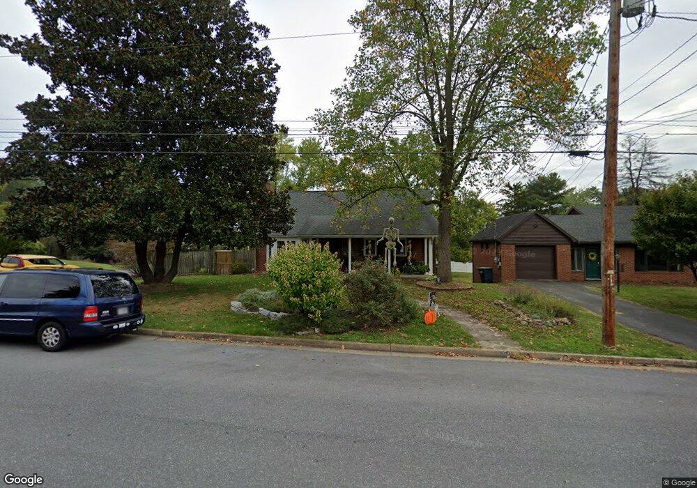
560 Ohio Ave Harrisonburg, VA 22801
Sunset Heights NeighborhoodEstimated Value: $395,000 - $470,000
3
Beds
3
Baths
1,792
Sq Ft
$236/Sq Ft
Est. Value
About This Home
This home is located at 560 Ohio Ave, Harrisonburg, VA 22801 and is currently estimated at $423,081, approximately $236 per square foot. 560 Ohio Ave is a home located in Harrisonburg City with nearby schools including Keister Elementary School, Thomas Harrison Middle School, and Harrisonburg High School.
Ownership History
Date
Name
Owned For
Owner Type
Purchase Details
Closed on
Aug 23, 2011
Sold by
Rooker Mark D and Rooker Carol Mills
Bought by
Rooker Mark D and Mills Rooker Carol A
Current Estimated Value
Purchase Details
Closed on
Aug 2, 2005
Sold by
Prideaux Claire L and Oconner Michele Mary
Bought by
Rooker Mark D and Rooker Carol Mills
Home Financials for this Owner
Home Financials are based on the most recent Mortgage that was taken out on this home.
Original Mortgage
$180,000
Interest Rate
5.25%
Mortgage Type
New Conventional
Create a Home Valuation Report for This Property
The Home Valuation Report is an in-depth analysis detailing your home's value as well as a comparison with similar homes in the area
Home Values in the Area
Average Home Value in this Area
Purchase History
| Date | Buyer | Sale Price | Title Company |
|---|---|---|---|
| Rooker Mark D | -- | None Available | |
| Rooker Mark D | -- | None Available |
Source: Public Records
Mortgage History
| Date | Status | Borrower | Loan Amount |
|---|---|---|---|
| Previous Owner | Rooker Mark D | $180,000 |
Source: Public Records
Tax History Compared to Growth
Tax History
| Year | Tax Paid | Tax Assessment Tax Assessment Total Assessment is a certain percentage of the fair market value that is determined by local assessors to be the total taxable value of land and additions on the property. | Land | Improvement |
|---|---|---|---|---|
| 2025 | $3,729 | $399,200 | $115,000 | $284,200 |
| 2024 | $3,729 | $369,200 | $92,000 | $277,200 |
| 2023 | $0 | $332,400 | $92,000 | $240,400 |
| 2022 | $0 | $284,700 | $80,000 | $204,700 |
| 2021 | $2,372 | $263,500 | $80,000 | $183,500 |
| 2020 | $2,213 | $254,500 | $80,000 | $174,500 |
| 2019 | $2,101 | $241,500 | $80,000 | $161,500 |
| 2018 | $0 | $236,800 | $80,000 | $156,800 |
| 2017 | -- | $227,600 | $80,000 | $147,600 |
| 2016 | -- | $218,400 | $80,000 | $138,400 |
Source: Public Records
Map
Nearby Homes
- 340 New York Ave
- 131 S Willow St
- 146 Maryland Ave
- 302 W Bruce St
- 450 Hartman Dr
- 1460 W Market St
- 52 South Ave Unit G
- 0 Court Square
- 21 Port Republic Rd
- 33 Port Republic Rd
- 625 N Willow St
- 1435 Bluestone St
- 1450 Bluestone St
- 355 Franklin St
- 775 Collicello St
- 581 Myers Ave
- 491 Garbers Church Rd
- 919 Collicello St
- 515 E Wolfe St
- 967 Lee Ave
- 550 Ohio Ave
- 595 Elmwood Dr
- 580 Elmwood Dr
- 539 S Dogwood Dr
- 585 Elmwood Dr
- 505 S Dogwood Dr
- 620 Elmwood Dr
- 575 Elmwood Dr
- 551 Ohio Ave
- 570 Elmwood Dr
- 621 Elmwood Dr
- 605 S Dogwood Dr
- 501 S Dogwood Dr
- 645 Elmwood Dr
- 671 Ohio Ave
- 470 Ohio Ave
- 560 New York Ave
- 655 S Dogwood Dr
- 550 New York Ave
- 508 S Dogwood Dr