560 Parkgate Dr Unit 438 Lake Saint Louis, MO 63367
Estimated Value: $282,000 - $346,000
2
Beds
2
Baths
1,164
Sq Ft
$274/Sq Ft
Est. Value
About This Home
This home is located at 560 Parkgate Dr Unit 438, Lake Saint Louis, MO 63367 and is currently estimated at $318,818, approximately $273 per square foot. 560 Parkgate Dr Unit 438 is a home located in St. Charles County with nearby schools including Duello Elementary School, Frontier Middle School, and Liberty High School.
Ownership History
Date
Name
Owned For
Owner Type
Purchase Details
Closed on
Nov 1, 2019
Sold by
Simms Diaso Amelia M and Mayadenu David A
Bought by
Bryson James Edward and Bryson Ashley Nicole
Current Estimated Value
Home Financials for this Owner
Home Financials are based on the most recent Mortgage that was taken out on this home.
Original Mortgage
$188,644
Outstanding Balance
$165,665
Interest Rate
3.62%
Mortgage Type
FHA
Estimated Equity
$153,153
Create a Home Valuation Report for This Property
The Home Valuation Report is an in-depth analysis detailing your home's value as well as a comparison with similar homes in the area
Home Values in the Area
Average Home Value in this Area
Purchase History
| Date | Buyer | Sale Price | Title Company |
|---|---|---|---|
| Bryson James Edward | -- | Freedom Title |
Source: Public Records
Mortgage History
| Date | Status | Borrower | Loan Amount |
|---|---|---|---|
| Open | Bryson James Edward | $188,644 |
Source: Public Records
Tax History Compared to Growth
Tax History
| Year | Tax Paid | Tax Assessment Tax Assessment Total Assessment is a certain percentage of the fair market value that is determined by local assessors to be the total taxable value of land and additions on the property. | Land | Improvement |
|---|---|---|---|---|
| 2025 | $3,328 | $48,288 | -- | -- |
| 2023 | $3,331 | $48,478 | $0 | $0 |
| 2022 | $2,913 | $39,470 | $0 | $0 |
| 2021 | $2,919 | $39,470 | $0 | $0 |
| 2020 | $2,601 | $33,806 | $0 | $0 |
| 2019 | $2,442 | $33,805 | $0 | $0 |
| 2018 | $2,171 | $28,554 | $0 | $0 |
| 2017 | $1,976 | $26,274 | $0 | $0 |
| 2016 | $2,232 | $28,481 | $0 | $0 |
| 2015 | $2,199 | $28,481 | $0 | $0 |
| 2014 | $1,277 | $2,850 | $0 | $0 |
Source: Public Records
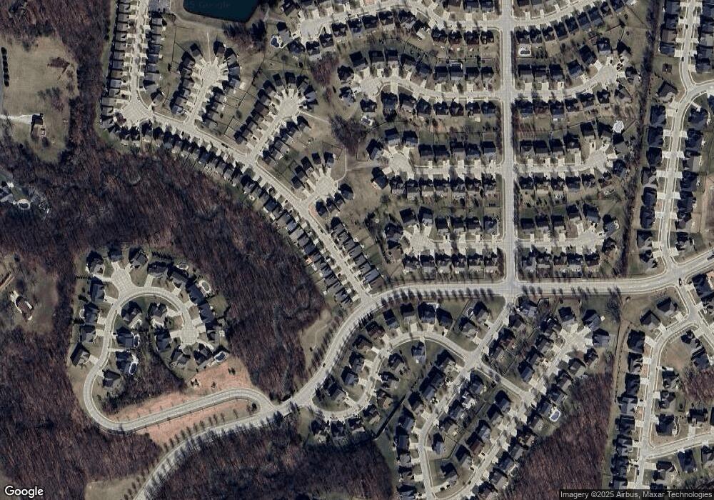
Map
Nearby Homes
- 497 Parkgate Dr
- 113 Wyndcrest Ct
- 522 Long Creek Dr
- 31 Briscoe Glen Ct
- 422 Parkgate Dr
- 427 Parkgate Dr
- 126 Far Meadow Dr
- 125 Far Meadow Dr
- 104 Long Pass Ct
- 396 Haycastle Dr
- 821 Topsfield Dr
- 209 Wyndemere Ln
- 2001 Paul Renaud Blvd
- 1733 Briarmanor Dr
- 339 Wyndemere Dr
- 8085 Glen Arbor Dr
- 1832 English Oak Dr
- 103 Eckstein Ln
- 5 Spinney Bough Ct
- 2 Spinney Bough Ct
- 560 Parkgate Dr
- 558 Parkgate Dr
- 564 Parkgate Dr
- 564 Parkgate Dr Unit 436
- 566 Parkgate Dr
- 554 Parkgate Dr
- 312 Graywynd Ct
- 313 Graywynd Ct
- 561 Parkgate Dr
- 90 Castlewynd Ct
- 310 Graywynd Ct
- 569 Parkgate Dr
- 569 Parkgate Dr Unit 433
- 311 Graywynd Ct
- 551 Parkgate Dr
- 914 Harvestwynd Ct
- 308*Lot 207 Graywynd Ct
- 912 Harvestwynd Ct
- 308 Graywynd Ct
- 308 Graywynd *Lot 207 Ct