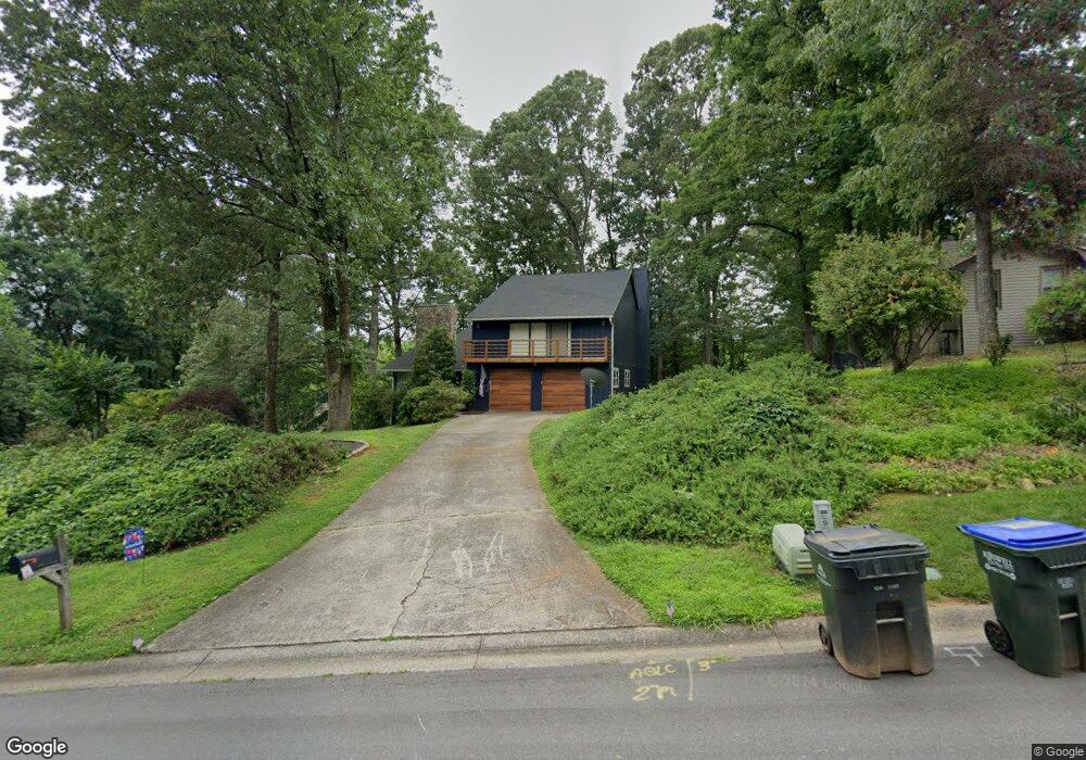
560 Periwinkle Dr Unit 1 Roswell, GA 30075
Estimated Value: $578,000 - $641,000
4
Beds
4
Baths
2,911
Sq Ft
$208/Sq Ft
Est. Value
About This Home
This home is located at 560 Periwinkle Dr Unit 1, Roswell, GA 30075 and is currently estimated at $606,584, approximately $208 per square foot. 560 Periwinkle Dr Unit 1 is a home located in Fulton County with nearby schools including Roswell North Elementary School, Crabapple Middle School, and Roswell High School.
Ownership History
Date
Name
Owned For
Owner Type
Purchase Details
Closed on
Nov 18, 2002
Sold by
Paulson Debra L
Bought by
Battista Thomas L
Current Estimated Value
Home Financials for this Owner
Home Financials are based on the most recent Mortgage that was taken out on this home.
Original Mortgage
$171,600
Interest Rate
6.01%
Mortgage Type
New Conventional
Purchase Details
Closed on
Jan 29, 1998
Sold by
Savage Larry and Savage Rosemary
Bought by
Paulson Debra L
Create a Home Valuation Report for This Property
The Home Valuation Report is an in-depth analysis detailing your home's value as well as a comparison with similar homes in the area
Home Values in the Area
Average Home Value in this Area
Purchase History
| Date | Buyer | Sale Price | Title Company |
|---|---|---|---|
| Battista Thomas L | $214,500 | -- | |
| Paulson Debra L | $147,900 | -- |
Source: Public Records
Mortgage History
| Date | Status | Borrower | Loan Amount |
|---|---|---|---|
| Previous Owner | Battista Thomas L | $171,600 | |
| Closed | Paulson Debra L | -- |
Source: Public Records
Tax History
| Year | Tax Paid | Tax Assessment Tax Assessment Total Assessment is a certain percentage of the fair market value that is determined by local assessors to be the total taxable value of land and additions on the property. | Land | Improvement |
|---|---|---|---|---|
| 2025 | $685 | $177,600 | $44,040 | $133,560 |
| 2023 | $5,860 | $207,600 | $54,200 | $153,400 |
| 2022 | $2,761 | $189,360 | $45,840 | $143,520 |
| 2021 | $3,275 | $151,720 | $28,440 | $123,280 |
| 2020 | $3,322 | $142,800 | $43,000 | $99,800 |
| 2019 | $545 | $140,280 | $42,240 | $98,040 |
| 2018 | $3,229 | $137,000 | $41,280 | $95,720 |
| 2017 | $2,687 | $104,040 | $26,720 | $77,320 |
| 2016 | $2,316 | $91,360 | $26,720 | $64,640 |
| 2015 | $2,823 | $91,360 | $26,720 | $64,640 |
| 2014 | $1,751 | $69,880 | $20,440 | $49,440 |
Source: Public Records
Map
Nearby Homes
- 505 Periwinkle Dr
- 420 Longleaf Dr
- 657 Willeo Rd
- 145 Grayton Ln
- 9760 Loblolly Ln
- 605 Marietta Hwy
- 135 Grayton Ln
- 830 Willeo Rd
- 9773 Hightower Rd
- 300 Farm Track Unit 3
- 9650 Coleman Rd
- 9035 Sandorn Dr
- 93 Skyland Dr
- 320 Wickerberry Ln
- 4025 Chipley Ct
- 1150 Orchard Way
- 570 Leather Hinge Trail
- 5060 Magnolia Walk
- 102 King St
- 1365 Ridgefield Dr
- 570 Periwinkle Dr
- 550 Huntwick Place
- 560 Huntwick Place
- 540 Periwinkle Dr
- 540 Periwinkle Dr Unit 1
- 540 Huntwick Place
- 530 Huntwick Place
- 580 Periwinkle Dr
- 565 Periwinkle Dr
- 520 Huntwick Place
- 570 Huntwick Place
- 545 Periwinkle Dr
- 520 Periwinkle Dr Unit 1
- 575 Periwinkle Dr
- 590 Periwinkle Dr
- 580 Huntwick Place
- 510 Huntwick Place
- 585 Periwinkle Dr Unit 1
- 525 Periwinkle Dr
- 555 Huntwick Place
Your Personal Tour Guide
Ask me questions while you tour the home.