Estimated Value: $196,000 - $238,000
3
Beds
1
Bath
1,471
Sq Ft
$151/Sq Ft
Est. Value
About This Home
This home is located at 560 S Forrest Hill Rd Unit A, Atoka, OK 74525 and is currently estimated at $221,527, approximately $150 per square foot. 560 S Forrest Hill Rd Unit A is a home located in Atoka County with nearby schools including Harmony Public School.
Ownership History
Date
Name
Owned For
Owner Type
Purchase Details
Closed on
Jan 27, 2021
Sold by
Keeler Ruth L
Bought by
Henderson Fred L
Current Estimated Value
Purchase Details
Closed on
May 7, 2014
Sold by
Keeler Travis
Bought by
Keeler Ruthie Lean
Purchase Details
Closed on
Feb 26, 2014
Sold by
Keeler Amanda
Bought by
Keeler Travis
Purchase Details
Closed on
Dec 9, 2008
Sold by
Marincic Jacqueline
Bought by
Keeler Travis and Keeler Amanda K
Purchase Details
Closed on
May 24, 2007
Sold by
Ultimate Builders
Bought by
Jacqueline Marincic
Purchase Details
Closed on
Apr 12, 2007
Sold by
Jason Rector
Bought by
Ultimate Builders
Purchase Details
Closed on
Nov 29, 2006
Sold by
Todd Cooksey
Bought by
Jason Rector
Create a Home Valuation Report for This Property
The Home Valuation Report is an in-depth analysis detailing your home's value as well as a comparison with similar homes in the area
Home Values in the Area
Average Home Value in this Area
Purchase History
| Date | Buyer | Sale Price | Title Company |
|---|---|---|---|
| Henderson Fred L | $70,000 | Complete Closing Llc | |
| Keeler Ruthie Lean | -- | -- | |
| Keeler Travis | -- | -- | |
| Keeler Travis | $133,500 | -- | |
| Jacqueline Marincic | $118,500 | -- | |
| Ultimate Builders | -- | -- | |
| Jason Rector | $30,000 | -- |
Source: Public Records
Tax History Compared to Growth
Tax History
| Year | Tax Paid | Tax Assessment Tax Assessment Total Assessment is a certain percentage of the fair market value that is determined by local assessors to be the total taxable value of land and additions on the property. | Land | Improvement |
|---|---|---|---|---|
| 2024 | $1,484 | $19,894 | $1,414 | $18,480 |
| 2023 | $1,413 | $18,947 | $1,245 | $17,702 |
| 2022 | $1,346 | $18,045 | $894 | $17,151 |
| 2021 | $1,156 | $16,496 | $894 | $15,602 |
| 2020 | $1,120 | $16,016 | $894 | $15,122 |
| 2019 | $1,085 | $15,549 | $894 | $14,655 |
| 2018 | $1,058 | $15,097 | $894 | $14,203 |
| 2017 | $1,068 | $15,240 | $894 | $14,346 |
| 2016 | $1,085 | $15,398 | $894 | $14,504 |
| 2015 | $1,067 | $15,272 | $894 | $14,378 |
| 2014 | $1,057 | $15,127 | $804 | $14,323 |
Source: Public Records
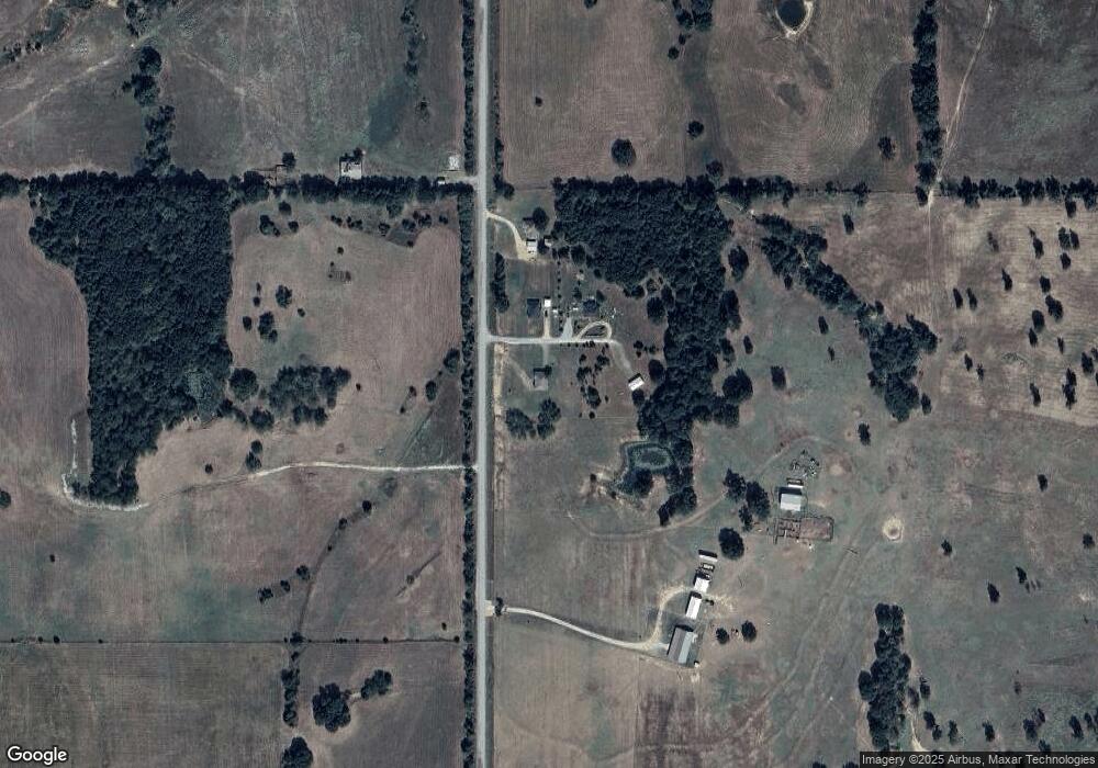
Map
Nearby Homes
- 0 S Forrest Hill Rd
- 3153 E Boggy Depot Rd
- 0 S Half Bank Unit 2543004
- 0 S Half Bank Unit 2525754
- 2284 E Roping Rd
- 00018 E Windy Ln
- 161 N Hickory Ave
- 1411 W Dairy Ln
- 00 Katy Rd
- 2279 E Decker Dr
- 6676 State Highway 3
- 2289 W Community Chapel Rd
- 0 Katy Rd
- 2736 E Windy Ln
- 7951 S Katy Rd
- 2067 S Mississippi Ave
- 3526 S Mississippi Ave
- 000 Oak Tree
- 1 Oak Tree
- 2865 S Oak Leaf Ln
- 560 S Forrest Hill Rd Unit B
- 560 S Forrest Hill Rd Unit C
- 5488 S Forrest Hill Rd
- 5488 S Forrest Hill Rd
- 5295 S Forrest Hill Rd
- 5149 S Forrest Hill Rd
- 0000 Boggy Depot Rd
- 6091 S Forrest Hill Rd
- 2708 E Windy Ln
- 351 E Windy Ln Unit C
- 351 E Windy Ln Unit B
- 3270 E Boggy Depot Rd
- 3506 E Boggy Depot Rd
- 3240 E Boggy Depot Rd
- 2540 E Windy Ln
- 4862 S Forrest Hill Rd
- 4862 S Forrest Hill Rd
- 3526 E Boggy Depot Rd
- 354 E Boggy Depot Rd
- 2451 E Windy Ln