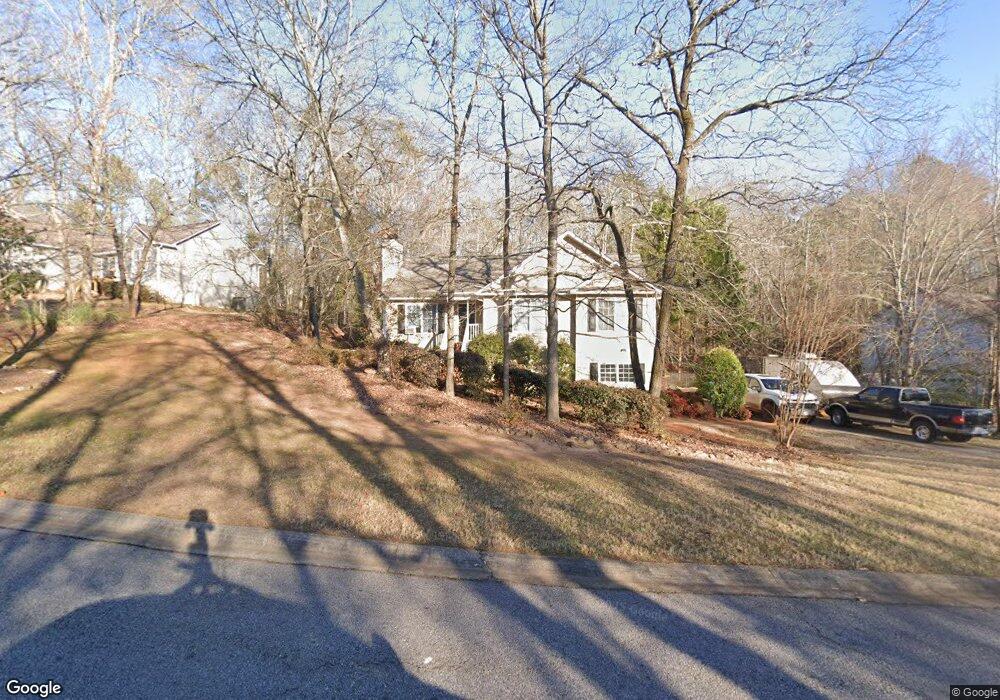
560 Snapfinger Dr Athens, GA 30605
Estimated Value: $333,698 - $374,000
3
Beds
2
Baths
1,758
Sq Ft
$201/Sq Ft
Est. Value
About This Home
This home is located at 560 Snapfinger Dr, Athens, GA 30605 and is currently estimated at $353,925, approximately $201 per square foot. 560 Snapfinger Dr is a home located in Clarke County with nearby schools including Barnett Shoals Elementary School, Hilsman Middle School, and Cedar Shoals High School.
Ownership History
Date
Name
Owned For
Owner Type
Purchase Details
Closed on
Aug 30, 2013
Sold by
Harris Thomas David
Bought by
Darsey Hubert Brantley and Darsey Debbie Etheridge
Current Estimated Value
Home Financials for this Owner
Home Financials are based on the most recent Mortgage that was taken out on this home.
Original Mortgage
$123,300
Outstanding Balance
$91,339
Interest Rate
4.37%
Mortgage Type
New Conventional
Estimated Equity
$262,586
Purchase Details
Closed on
Aug 26, 2005
Sold by
Baer Kevin T
Bought by
Harris Thomas David
Home Financials for this Owner
Home Financials are based on the most recent Mortgage that was taken out on this home.
Original Mortgage
$132,000
Interest Rate
6%
Mortgage Type
New Conventional
Purchase Details
Closed on
Jul 17, 1998
Sold by
Baer Kevin T
Bought by
Baer Kevin T and Baer Melanie C
Create a Home Valuation Report for This Property
The Home Valuation Report is an in-depth analysis detailing your home's value as well as a comparison with similar homes in the area
Home Values in the Area
Average Home Value in this Area
Purchase History
| Date | Buyer | Sale Price | Title Company |
|---|---|---|---|
| Darsey Hubert Brantley | $137,000 | -- | |
| Harris Thomas David | $132,000 | -- | |
| Baer Kevin T | -- | -- | |
| Baer Kevin T | $108,900 | -- |
Source: Public Records
Mortgage History
| Date | Status | Borrower | Loan Amount |
|---|---|---|---|
| Open | Darsey Hubert Brantley | $123,300 | |
| Previous Owner | Harris Thomas David | $132,000 |
Source: Public Records
Tax History Compared to Growth
Tax History
| Year | Tax Paid | Tax Assessment Tax Assessment Total Assessment is a certain percentage of the fair market value that is determined by local assessors to be the total taxable value of land and additions on the property. | Land | Improvement |
|---|---|---|---|---|
| 2025 | $3,815 | $122,857 | $14,000 | $108,857 |
| 2024 | $3,815 | $121,142 | $14,000 | $107,142 |
| 2023 | $3,786 | $111,900 | $14,000 | $97,900 |
| 2022 | $3,046 | $95,494 | $13,000 | $82,494 |
| 2021 | $2,467 | $73,190 | $13,000 | $60,190 |
| 2020 | $2,394 | $71,050 | $13,000 | $58,050 |
| 2019 | $2,183 | $64,295 | $13,000 | $51,295 |
| 2018 | $2,049 | $60,360 | $13,000 | $47,360 |
| 2017 | $1,890 | $55,666 | $13,000 | $42,666 |
| 2016 | $1,850 | $54,492 | $13,000 | $41,492 |
| 2015 | $1,837 | $54,034 | $13,000 | $41,034 |
| 2014 | $1,856 | $54,506 | $13,000 | $41,506 |
Source: Public Records
Map
Nearby Homes
- 540 Snapfinger Dr
- 570 Snapfinger Dr
- 163 Snapfinger Way
- 565 Snapfinger Dr
- 153 Snapfinger Way
- 555 Snapfinger Dr
- 530 Snapfinger Dr
- 575 Snapfinger Dr
- 580 Snapfinger Dr
- 585 Snapfinger Dr
- 545 Snapfinger Dr
- 589 Snapfinger Dr
- 590 Snapfinger Dr
- 162 Snapfinger Way
- 143 Snapfinger Way
- 535 Snapfinger Dr
- 595 Snapfinger Dr
- 200 Rivergrove Pkwy Unit A5
- 200 Rivergrove Pkwy Unit A/6
- 200 Rivergrove Pkwy Unit B9