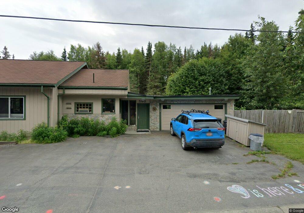
560 W 21st Ave Anchorage, AK 99503
North Star NeighborhoodEstimated Value: $245,000 - $446,000
2
Beds
2
Baths
1,452
Sq Ft
$248/Sq Ft
Est. Value
About This Home
This home is located at 560 W 21st Ave, Anchorage, AK 99503 and is currently estimated at $359,760, approximately $247 per square foot. 560 W 21st Ave is a home located in Anchorage Municipality with nearby schools including North Star Elementary School, Central Middle School of Science, and West High School.
Ownership History
Date
Name
Owned For
Owner Type
Purchase Details
Closed on
Apr 23, 2004
Sold by
James F & Beulah S Davis Living Trust
Bought by
Powers Kenneth C
Current Estimated Value
Home Financials for this Owner
Home Financials are based on the most recent Mortgage that was taken out on this home.
Original Mortgage
$140,000
Outstanding Balance
$58,188
Interest Rate
4%
Mortgage Type
Purchase Money Mortgage
Estimated Equity
$301,572
Purchase Details
Closed on
Aug 25, 2003
Sold by
Davis Beulah S
Bought by
The James F & Beulah S Davis Living Tr
Create a Home Valuation Report for This Property
The Home Valuation Report is an in-depth analysis detailing your home's value as well as a comparison with similar homes in the area
Home Values in the Area
Average Home Value in this Area
Purchase History
| Date | Buyer | Sale Price | Title Company |
|---|---|---|---|
| Powers Kenneth C | -- | Stewart Title Of Alaska | |
| The James F & Beulah S Davis Living Tr | -- | First American Title Of Alas |
Source: Public Records
Mortgage History
| Date | Status | Borrower | Loan Amount |
|---|---|---|---|
| Open | Powers Kenneth C | $140,000 |
Source: Public Records
Tax History Compared to Growth
Tax History
| Year | Tax Paid | Tax Assessment Tax Assessment Total Assessment is a certain percentage of the fair market value that is determined by local assessors to be the total taxable value of land and additions on the property. | Land | Improvement |
|---|---|---|---|---|
| 2025 | $1,703 | $344,400 | $109,900 | $234,500 |
| 2024 | $1,703 | $330,500 | $109,900 | $220,600 |
| 2023 | $5,235 | $307,400 | $109,900 | $197,500 |
| 2022 | $1,601 | $295,100 | $109,900 | $185,200 |
| 2021 | $4,802 | $266,500 | $109,900 | $156,600 |
| 2020 | $1,371 | $281,800 | $109,900 | $171,900 |
| 2019 | $3,846 | $285,100 | $109,900 | $175,200 |
| 2018 | $3,761 | $279,300 | $115,100 | $164,200 |
| 2017 | $4,156 | $285,400 | $109,200 | $176,200 |
| 2016 | $3,393 | $301,200 | $109,200 | $192,000 |
| 2015 | $3,393 | $299,900 | $99,800 | $200,100 |
| 2014 | $3,393 | $273,500 | $98,800 | $174,700 |
Source: Public Records
Map
Nearby Homes
- 2140 Dawson St
- 827 W 20th Ave
- 207 W 22nd Ave Unit 304
- 1024 Potlatch Cir Unit 23
- 201 W 24th Ave
- 1001 W Fireweed Ln
- 710 W 16th Ave
- 2607 Arctic Blvd
- 123 E 24th Ave Unit 5
- 1016 W 25th Ave
- 2205 Barrow St
- 409 W Northern Lights Blvd
- 000 Dawson St
- 1113 W Fireweed Ln Unit 505
- 1113 W Fireweed Ln Unit 204
- 1945 Spenard Rd
- 100 W 15th Ave Unit A
- 1430 Bridgeway St Unit 3
- 1430 Bridgeway St Unit 9
- 1327 W 25th Ave Unit 218
- 2029 Blueberry St
- 2029 Blueberry St
- 601 W 22nd Ave
- 550 W 21st Ave
- 2100 Blueberry St
- 2108 Dawson St
- 2027 Blueberry St
- L13 B3 Blueberry St
- 2116 Dawson St
- 2126 Dawson St
- 2038 Borealis Dr
- 613 W 22nd Ave
- 2015 Blueberry St
- 610 W 21st Ave
- 501 W 21st Ave Unit 3
- 2024 Borealis Dr
- 625 W 22nd Ave
- 2018 Borealis Dr
- 626 W 21st Ave
- 624 W 21st Ave