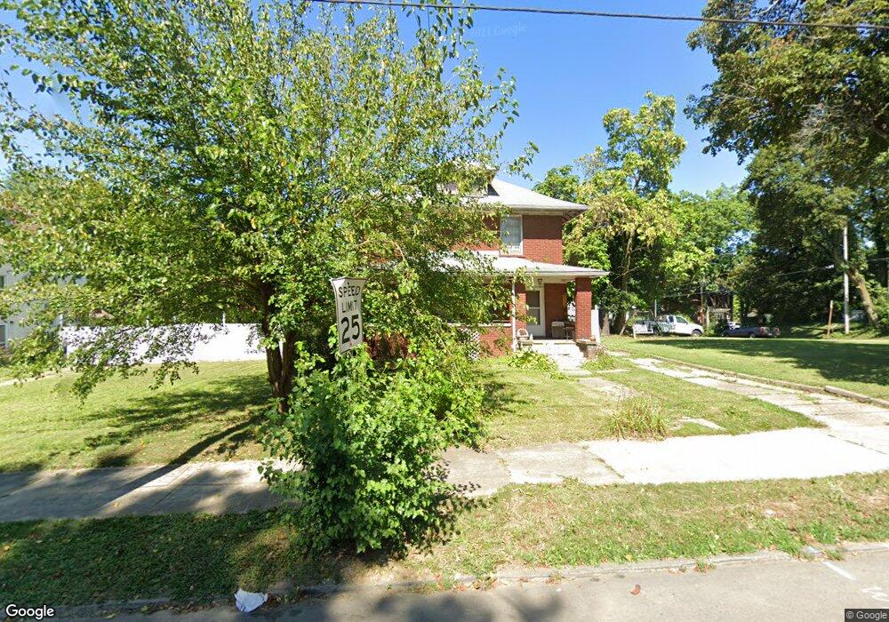
560 W 4th St Mansfield, OH 44903
Estimated Value: $81,000 - $100,000
3
Beds
2
Baths
1,986
Sq Ft
$46/Sq Ft
Est. Value
About This Home
This home is located at 560 W 4th St, Mansfield, OH 44903 and is currently estimated at $92,088, approximately $46 per square foot. 560 W 4th St is a home located in Richland County with nearby schools including Goal Digital Academy, Mansfield Elective Academy, and Interactive Media & Construction (IMAC) Academy.
Ownership History
Date
Name
Owned For
Owner Type
Purchase Details
Closed on
Aug 3, 2001
Sold by
Papenhausen Amy M
Bought by
Stone Randall L Michelle R
Current Estimated Value
Home Financials for this Owner
Home Financials are based on the most recent Mortgage that was taken out on this home.
Original Mortgage
$46,550
Outstanding Balance
$18,145
Interest Rate
7.14%
Mortgage Type
New Conventional
Estimated Equity
$73,943
Create a Home Valuation Report for This Property
The Home Valuation Report is an in-depth analysis detailing your home's value as well as a comparison with similar homes in the area
Home Values in the Area
Average Home Value in this Area
Purchase History
| Date | Buyer | Sale Price | Title Company |
|---|---|---|---|
| Stone Randall L Michelle R | $49,000 | -- |
Source: Public Records
Mortgage History
| Date | Status | Borrower | Loan Amount |
|---|---|---|---|
| Open | Stone Randall L Michelle R | $46,550 |
Source: Public Records
Tax History Compared to Growth
Tax History
| Year | Tax Paid | Tax Assessment Tax Assessment Total Assessment is a certain percentage of the fair market value that is determined by local assessors to be the total taxable value of land and additions on the property. | Land | Improvement |
|---|---|---|---|---|
| 2024 | $721 | $15,390 | $1,630 | $13,760 |
| 2023 | $721 | $15,390 | $1,630 | $13,760 |
| 2022 | $701 | $12,550 | $1,580 | $10,970 |
| 2021 | $706 | $12,550 | $1,580 | $10,970 |
| 2020 | $722 | $12,550 | $1,580 | $10,970 |
| 2019 | $800 | $12,550 | $1,580 | $10,970 |
| 2018 | $789 | $12,550 | $1,580 | $10,970 |
| 2017 | $768 | $12,550 | $1,580 | $10,970 |
| 2016 | $865 | $13,710 | $3,320 | $10,390 |
| 2015 | $826 | $13,710 | $3,320 | $10,390 |
| 2014 | $816 | $13,710 | $3,320 | $10,390 |
| 2012 | $311 | $13,710 | $3,500 | $10,210 |
Source: Public Records
Map
Nearby Homes
- 237 Helen Ave
- 96 Helen Ave
- 120 Gettings Place
- 80 Rowland Ave
- 116 Penn Ave
- 406 Sherman Place
- 611 Park Ave W
- 132 Sycamore St
- 24 Stewart Ave S
- 21 Glenwood Blvd
- 38 Baldwin Ave
- 41 Parkwood Blvd
- 37 Baldwin Ave
- 71 Glenwood Blvd
- 76 Bartley Ave
- 88 Sherman Ave
- 0 State Route 314 Unit 9067316
- 0 State Route 314 Unit 225021979
- 688 Mcpherson St
- 426 Mcpherson St