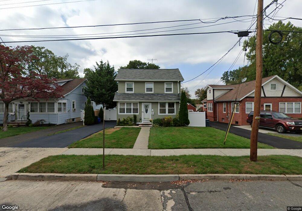
560 W 7th Ave Roselle, NJ 07203
Estimated Value: $430,357 - $545,000
--
Bed
--
Bath
1,150
Sq Ft
$429/Sq Ft
Est. Value
About This Home
This home is located at 560 W 7th Ave, Roselle, NJ 07203 and is currently estimated at $492,839, approximately $428 per square foot. 560 W 7th Ave is a home located in Union County with nearby schools including Washington Elementary School, Grace Wilday Junior High School, and Leonard V. Moore Middle School.
Ownership History
Date
Name
Owned For
Owner Type
Purchase Details
Closed on
Apr 20, 2007
Sold by
Martinez Marie
Bought by
Martinez Maria and Rios Miriam
Current Estimated Value
Purchase Details
Closed on
Nov 13, 2001
Sold by
Bender Lenore Obrien
Bought by
Diogene Wilman
Home Financials for this Owner
Home Financials are based on the most recent Mortgage that was taken out on this home.
Original Mortgage
$149,600
Interest Rate
7.04%
Mortgage Type
FHA
Purchase Details
Closed on
Sep 24, 2001
Sold by
Dugan Florence M
Bought by
Estate Of William P Dugan and Dugan M Patrick
Home Financials for this Owner
Home Financials are based on the most recent Mortgage that was taken out on this home.
Original Mortgage
$149,600
Interest Rate
7.04%
Mortgage Type
FHA
Create a Home Valuation Report for This Property
The Home Valuation Report is an in-depth analysis detailing your home's value as well as a comparison with similar homes in the area
Home Values in the Area
Average Home Value in this Area
Purchase History
| Date | Buyer | Sale Price | Title Company |
|---|---|---|---|
| Martinez Maria | -- | Crosstate Title Agency Inc | |
| Diogene Wilman | $152,000 | -- | |
| Estate Of William P Dugan | -- | -- |
Source: Public Records
Mortgage History
| Date | Status | Borrower | Loan Amount |
|---|---|---|---|
| Previous Owner | Diogene Wilman | $149,600 |
Source: Public Records
Tax History Compared to Growth
Tax History
| Year | Tax Paid | Tax Assessment Tax Assessment Total Assessment is a certain percentage of the fair market value that is determined by local assessors to be the total taxable value of land and additions on the property. | Land | Improvement |
|---|---|---|---|---|
| 2025 | $10,356 | $119,100 | $70,400 | $48,700 |
| 2024 | $10,096 | $119,100 | $70,400 | $48,700 |
| 2023 | $10,096 | $119,100 | $70,400 | $48,700 |
| 2022 | $10,166 | $119,100 | $70,400 | $48,700 |
| 2021 | $10,106 | $119,100 | $70,400 | $48,700 |
| 2020 | $10,073 | $119,100 | $70,400 | $48,700 |
| 2019 | $9,945 | $119,100 | $70,400 | $48,700 |
| 2018 | $9,890 | $119,100 | $70,400 | $48,700 |
| 2017 | $9,838 | $119,100 | $70,400 | $48,700 |
| 2016 | $9,621 | $119,100 | $70,400 | $48,700 |
| 2015 | $9,370 | $119,100 | $70,400 | $48,700 |
| 2014 | $9,102 | $119,100 | $70,400 | $48,700 |
Source: Public Records
Map
Nearby Homes
- 540 W 7th Ave
- 2513 N Wood Ave
- 538 Dietz St
- 38 Pallant Ave
- 54 Pallant Ave
- 13 Independence Dr
- 53 Pallant Ave
- 38 Independence Dr
- 74 Raritan Rd
- 569 Berlant Ave
- 57 Berlant Ave
- 448 Cristiani St
- 113 Raritan Rd
- 446 W 6th Ave
- 217 Grace St
- 63 Elmwood Terrace
- 826 Amsterdam Ave
- 221 Douglas Rd
- 323 Dermody St
- 123 Robbinwood Terrace