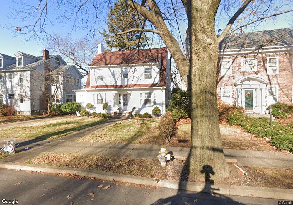
560 Westmoreland Ave Kingston, PA 18704
Estimated Value: $347,000 - $458,000
--
Bed
--
Bath
2,400
Sq Ft
$166/Sq Ft
Est. Value
About This Home
This home is located at 560 Westmoreland Ave, Kingston, PA 18704 and is currently estimated at $399,242, approximately $166 per square foot. 560 Westmoreland Ave is a home located in Luzerne County with nearby schools including Wyoming Valley West Senior High School, Good Shepherd Academy, and Wyoming Valley Kingston Montessori School.
Ownership History
Date
Name
Owned For
Owner Type
Purchase Details
Closed on
Jul 31, 2023
Sold by
Taylor Waghia A
Bought by
Browd Yisroel M and Gancz Chana F
Current Estimated Value
Home Financials for this Owner
Home Financials are based on the most recent Mortgage that was taken out on this home.
Original Mortgage
$280,000
Outstanding Balance
$273,500
Interest Rate
6.71%
Mortgage Type
New Conventional
Estimated Equity
$125,742
Purchase Details
Closed on
Oct 29, 1981
Bought by
Taylor Merlin Gene and Taylor Wagiha
Create a Home Valuation Report for This Property
The Home Valuation Report is an in-depth analysis detailing your home's value as well as a comparison with similar homes in the area
Home Values in the Area
Average Home Value in this Area
Purchase History
| Date | Buyer | Sale Price | Title Company |
|---|---|---|---|
| Browd Yisroel M | $350,000 | None Listed On Document | |
| Taylor Merlin Gene | -- | -- |
Source: Public Records
Mortgage History
| Date | Status | Borrower | Loan Amount |
|---|---|---|---|
| Open | Browd Yisroel M | $280,000 |
Source: Public Records
Tax History Compared to Growth
Tax History
| Year | Tax Paid | Tax Assessment Tax Assessment Total Assessment is a certain percentage of the fair market value that is determined by local assessors to be the total taxable value of land and additions on the property. | Land | Improvement |
|---|---|---|---|---|
| 2025 | $5,813 | $220,300 | $29,800 | $190,500 |
| 2024 | $5,813 | $220,300 | $29,800 | $190,500 |
| 2023 | $5,713 | $220,300 | $29,800 | $190,500 |
| 2022 | $5,673 | $220,300 | $29,800 | $190,500 |
| 2021 | $5,510 | $220,300 | $29,800 | $190,500 |
| 2020 | $5,510 | $220,300 | $29,800 | $190,500 |
| 2019 | $5,348 | $220,300 | $29,800 | $190,500 |
| 2018 | $5,180 | $220,300 | $29,800 | $190,500 |
| 2017 | $5,034 | $220,300 | $29,800 | $190,500 |
| 2016 | -- | $220,300 | $29,800 | $190,500 |
| 2015 | $4,204 | $220,300 | $29,800 | $190,500 |
| 2014 | $4,204 | $220,300 | $29,800 | $190,500 |
Source: Public Records
Map
Nearby Homes
- 216 Reynolds St
- 667 Gibson Ave
- 38 Hedge Place
- 308 E Dorrance St
- 474 Chestnut Ave
- 100 N Loveland Ave
- 127 Division St
- 153 N Gates Ave
- 70 John St
- 41 Church St
- 59 N Loveland Ave
- 114 W Union St
- 147 N Dawes Ave
- 92 2nd Ave
- 807 Woodland Dr
- 164 Welles St
- 1017 Rutter Ave
- 39 S Thomas Ave
- 942 Wyoming Ave
- 258 Factory St
- 564 Westmoreland Ave
- 556 Westmoreland Ave
- 550 Westmoreland Ave
- 570 Westmoreland Ave
- 572 Westmoreland Ave
- 546 Westmoreland Ave
- 555 Rutter Ave
- 559 Rutter Ave
- 553 Rutter Ave
- 565 Rutter Ave
- 549 Rutter Ave
- 557 Westmoreland Ave
- 555 Westmoreland Ave
- 563 Westmoreland Ave
- 545 Rutter Ave
- 551 Rutter Ave
- 569 Rutter Ave
- 540 Westmoreland Ave
- 571 Westmoreland Ave
- 551 Westmoreland Ave