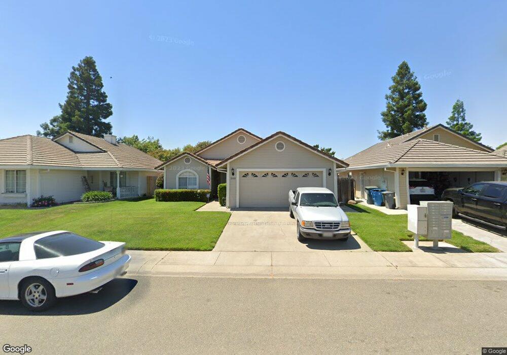
560 Willowbrook Dr Yuba City, CA 95993
Estimated Value: $365,000 - $429,000
3
Beds
2
Baths
1,306
Sq Ft
$294/Sq Ft
Est. Value
About This Home
This home is located at 560 Willowbrook Dr, Yuba City, CA 95993 and is currently estimated at $383,329, approximately $293 per square foot. 560 Willowbrook Dr is a home located in Sutter County with nearby schools including Andros Karperos, River Valley High School, and Pathways Charter Academy.
Ownership History
Date
Name
Owned For
Owner Type
Purchase Details
Closed on
Apr 20, 2018
Sold by
Bugayong Cynthia L
Bought by
Bugayong Stephen
Current Estimated Value
Home Financials for this Owner
Home Financials are based on the most recent Mortgage that was taken out on this home.
Original Mortgage
$25,000
Interest Rate
4.44%
Mortgage Type
Stand Alone Second
Create a Home Valuation Report for This Property
The Home Valuation Report is an in-depth analysis detailing your home's value as well as a comparison with similar homes in the area
Purchase History
| Date | Buyer | Sale Price | Title Company |
|---|---|---|---|
| Bugayong Stephen | -- | First American Title |
Source: Public Records
Mortgage History
| Date | Status | Borrower | Loan Amount |
|---|---|---|---|
| Closed | Bugayong Stephen | $25,000 |
Source: Public Records
Tax History
| Year | Tax Paid | Tax Assessment Tax Assessment Total Assessment is a certain percentage of the fair market value that is determined by local assessors to be the total taxable value of land and additions on the property. | Land | Improvement |
|---|---|---|---|---|
| 2025 | $1,945 | $182,512 | $47,572 | $134,940 |
| 2024 | $1,945 | $178,935 | $46,640 | $132,295 |
| 2023 | $1,945 | $175,427 | $45,726 | $129,701 |
| 2022 | $2,391 | $171,988 | $44,830 | $127,158 |
| 2021 | $2,358 | $168,647 | $43,968 | $124,679 |
| 2020 | $2,328 | $166,918 | $43,517 | $123,401 |
| 2019 | $2,287 | $163,646 | $42,664 | $120,982 |
| 2018 | $2,251 | $160,436 | $41,827 | $118,609 |
| 2017 | $2,207 | $157,291 | $41,007 | $116,284 |
| 2016 | $2,172 | $154,206 | $40,203 | $114,003 |
Source: Public Records
Map
Nearby Homes
- 1718 Wildflower Cir
- 683 Mark Thomas Dr
- 1781 Franklin Rd Unit 36
- 1781 Franklin Rd Unit 59
- 427 Hetherington Cir
- 152 College Hill Way
- 1510 Franklin Rd
- 955 Carson Dr
- 0 Lassen Blvd
- 1330 Kean Ave
- 0 Us-99
- 378 N Lawrence Ave
- 1995 Jacob Dr
- 727 Gray Ave
- 1041 Ruth Ave
- 1213 Kimberly Dr
- 2455 Colusa Hwy
- 1074 Mccollum Ave
- 1133 Villa Vista Ave
- 1099 Hunn Rd
- 566 Willowbrook Dr
- 552 Willowbrook Dr
- 574 Willowbrook Dr
- 542 Willowbrook Dr
- 559 Tharp Rd
- 567 Tharp Rd
- 551 Tharp Rd
- 575 Tharp Rd
- 582 Willowbrook Dr
- 534 Willowbrook Dr
- 541 Tharp Rd
- 559 Willowbrook Dr
- 551 Willowbrook Dr
- 567 Willowbrook Dr
- 583 Tharp Rd
- 533 Tharp Rd
- 541 Willowbrook Dr
- 575 Willowbrook Dr
- 590 Willowbrook Dr
- 524 Willowbrook Dr
Your Personal Tour Guide
Ask me questions while you tour the home.