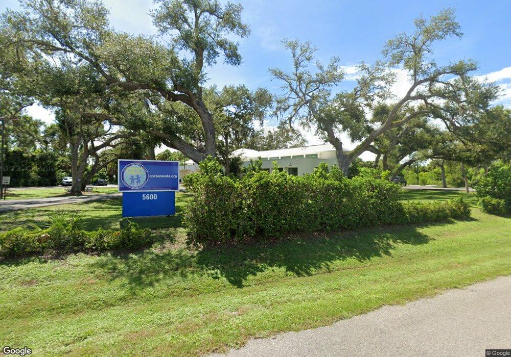
5600 Peace River Rd North Port, FL 34287
Estimated Value: $1,445,221
--
Bed
3
Baths
5,265
Sq Ft
$274/Sq Ft
Est. Value
About This Home
This home is located at 5600 Peace River Rd, North Port, FL 34287 and is currently estimated at $1,445,221, approximately $274 per square foot. 5600 Peace River Rd is a home located in Sarasota County with nearby schools including North Port High School, Cranberry Elementary School, and Heron Creek Middle School.
Ownership History
Date
Name
Owned For
Owner Type
Purchase Details
Closed on
Dec 15, 2021
Sold by
Peace River Presbytery Inc
Bought by
Child Protection Center Inc
Current Estimated Value
Home Financials for this Owner
Home Financials are based on the most recent Mortgage that was taken out on this home.
Original Mortgage
$960,500
Outstanding Balance
$883,171
Interest Rate
3.09%
Mortgage Type
Future Advance Clause Open End Mortgage
Estimated Equity
$562,050
Purchase Details
Closed on
Dec 18, 2007
Sold by
Peace River Presbytery Inc
Bought by
City Of North Port
Purchase Details
Closed on
Nov 15, 1993
Sold by
N Pt Water Control Dist
Bought by
Peace River Presbytery Inc
Create a Home Valuation Report for This Property
The Home Valuation Report is an in-depth analysis detailing your home's value as well as a comparison with similar homes in the area
Home Values in the Area
Average Home Value in this Area
Purchase History
| Date | Buyer | Sale Price | Title Company |
|---|---|---|---|
| Child Protection Center Inc | $1,475,000 | Attorney | |
| City Of North Port | $6,400 | Attorney | |
| Peace River Presbytery Inc | $120,000 | -- |
Source: Public Records
Mortgage History
| Date | Status | Borrower | Loan Amount |
|---|---|---|---|
| Open | Child Protection Center Inc | $960,500 |
Source: Public Records
Tax History Compared to Growth
Tax History
| Year | Tax Paid | Tax Assessment Tax Assessment Total Assessment is a certain percentage of the fair market value that is determined by local assessors to be the total taxable value of land and additions on the property. | Land | Improvement |
|---|---|---|---|---|
| 2024 | $498 | $924,561 | -- | -- |
| 2023 | $498 | $874,100 | $262,600 | $611,500 |
| 2022 | $687 | $764,100 | $196,900 | $567,200 |
| 2021 | $1,553 | $630,600 | $196,900 | $433,700 |
| 2020 | $1,559 | $636,100 | $196,900 | $439,200 |
| 2019 | $1,503 | $621,700 | $196,900 | $424,800 |
| 2018 | $1,467 | $643,700 | $216,500 | $427,200 |
| 2017 | $1,428 | $635,300 | $216,500 | $418,800 |
| 2016 | $1,462 | $623,400 | $158,000 | $465,400 |
| 2015 | $1,534 | $624,900 | $155,900 | $469,000 |
| 2014 | $524 | $620,100 | $0 | $0 |
Source: Public Records
Map
Nearby Homes
- 4599 Mongite Rd
- 5051 Greenway Dr
- Lots 1-4 Tamiami Trail
- 5028 Greenway Ct
- 4421 Mongite Rd
- 4413 Mckibben Dr
- 4951 Pocatella Ave
- 6413 Hikina Dr
- 5233 Palena Blvd
- 4358 Mongite Rd
- 6603 Hauli Ct
- 5948 Mashie Cir
- 6502 Hikina Dr
- 6534 Honu (Lot 86) Ct
- 6542 Hikina Dr
- 5688 Mashie Cir
- 6562 Hikina Dr
- 5061 Richmond Terrace
- 4359 Pocatella Ave
- 6462 Haele Ct
- 5657 Bliffert St
- 5671 Bliffert St
- 5643 Bliffert St
- 5685 Bliffert St
- 5629 Bliffert St
- 5699 Bliffert St
- 5660 Bliffert St
- 4688 Mongite Rd
- 5615 Bliffert St
- 4687 Maraldo Ave
- 4689 Mongite Rd
- 4795 Mckibben Dr
- 4673 Mongite Rd
- 4668 Mongite Rd
- 4671 Maraldo Ave
- 4769 Mckibben Dr
- 4672 Maraldo Ave
- 4743 Mckibben Dr
- 4655 Maraldo Ave
- 4657 Mongite Rd
