Estimated Value: $169,125 - $253,000
--
Bed
1
Bath
1,248
Sq Ft
$172/Sq Ft
Est. Value
About This Home
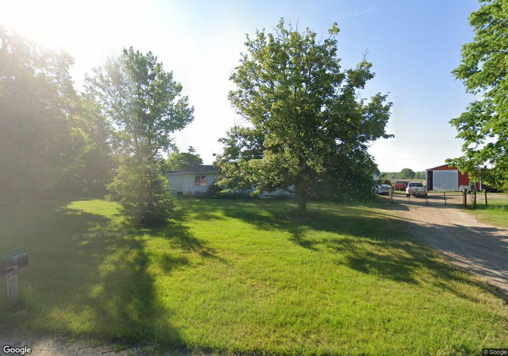
This home is located at 56005 Blossom Rd, Colon, MI 49040 and is currently estimated at $215,031, approximately $172 per square foot. 56005 Blossom Rd is a home located in St. Joseph County.
Ownership History
Date
Name
Owned For
Owner Type
Purchase Details
Closed on
Sep 11, 2006
Sold by
Bruce Julie A and Bruce Robert P
Bought by
Bruce Robert P and Bruce Julie A
Current Estimated Value
Home Financials for this Owner
Home Financials are based on the most recent Mortgage that was taken out on this home.
Original Mortgage
$92,800
Outstanding Balance
$63,732
Interest Rate
9.49%
Mortgage Type
New Conventional
Estimated Equity
$151,299
Purchase Details
Closed on
Feb 24, 1998
Purchase Details
Closed on
Jun 19, 1997
Create a Home Valuation Report for This Property
The Home Valuation Report is an in-depth analysis detailing your home's value as well as a comparison with similar homes in the area
Home Values in the Area
Average Home Value in this Area
Purchase History
| Date | Buyer | Sale Price | Title Company |
|---|---|---|---|
| Bruce Robert P | -- | Nations Title Agency | |
| -- | -- | -- | |
| -- | -- | -- |
Source: Public Records
Mortgage History
| Date | Status | Borrower | Loan Amount |
|---|---|---|---|
| Open | Bruce Robert P | $92,800 |
Source: Public Records
Tax History Compared to Growth
Tax History
| Year | Tax Paid | Tax Assessment Tax Assessment Total Assessment is a certain percentage of the fair market value that is determined by local assessors to be the total taxable value of land and additions on the property. | Land | Improvement |
|---|---|---|---|---|
| 2025 | $1,290 | $76,200 | $3,800 | $72,400 |
| 2024 | $463 | $70,800 | $3,800 | $67,000 |
| 2023 | $1,227 | $69,100 | $3,800 | $65,300 |
| 2022 | $0 | $54,200 | $3,800 | $50,400 |
| 2021 | $1,011 | $52,500 | $3,800 | $48,700 |
| 2020 | $1,011 | $54,700 | $3,800 | $50,900 |
| 2019 | $392 | $46,200 | $3,800 | $42,400 |
| 2018 | $1,056 | $41,000 | $3,800 | $37,200 |
| 2017 | $973 | $41,900 | $41,900 | $0 |
| 2016 | -- | $39,400 | $39,400 | $0 |
| 2015 | -- | $37,400 | $0 | $0 |
| 2014 | -- | $38,500 | $38,500 | $0 |
| 2012 | -- | $38,000 | $38,000 | $0 |
Source: Public Records
Map
Nearby Homes
- 31688 W Colon Rd
- 30725 Orla Engle Rd
- 0 N Burr Oak Rd
- 210 E South St
- 0 S Farrand Unit 25051538
- 457 S Burr Oak Rd
- 906 Bowman St
- 448 Long Lake Rd
- 774 Ralston Rd
- 58954 Lakeshore Dr
- 30879 Michigan 60
- 59010 Lakeshore Dr
- 32205 James St
- 30591 Coohon Rd
- 59178 Nora Dr
- 31765 Michigan 60
- VL Heights Dr
- 30315 Jacksonburg Rd
- 31908 Decker Rd
- 316 Kane Rd
- 55979 Blossom Rd
- 56185 Blossom Rd
- 56160 Driftwood Dr
- 56105 Driftwood Dr
- 56122 Driftwood Dr
- 56333 Farrand Rd
- 56106 Driftwood Dr
- 56067 Sewanee Trail
- 56050 Correll Rd
- 56020 Blossom Rd
- 56101 Sewanee Trail
- 31752 Brandt Rd
- 56088 Driftwood Dr
- 56390 N Farrand Rd
- 56055 Driftwood Dr
- 50 Driftwood Dr
- 56045 Driftwood Dr
- 56058 Driftwood Dr
- 56058 Driftwood Dr
- 56022 Sewanee Trail