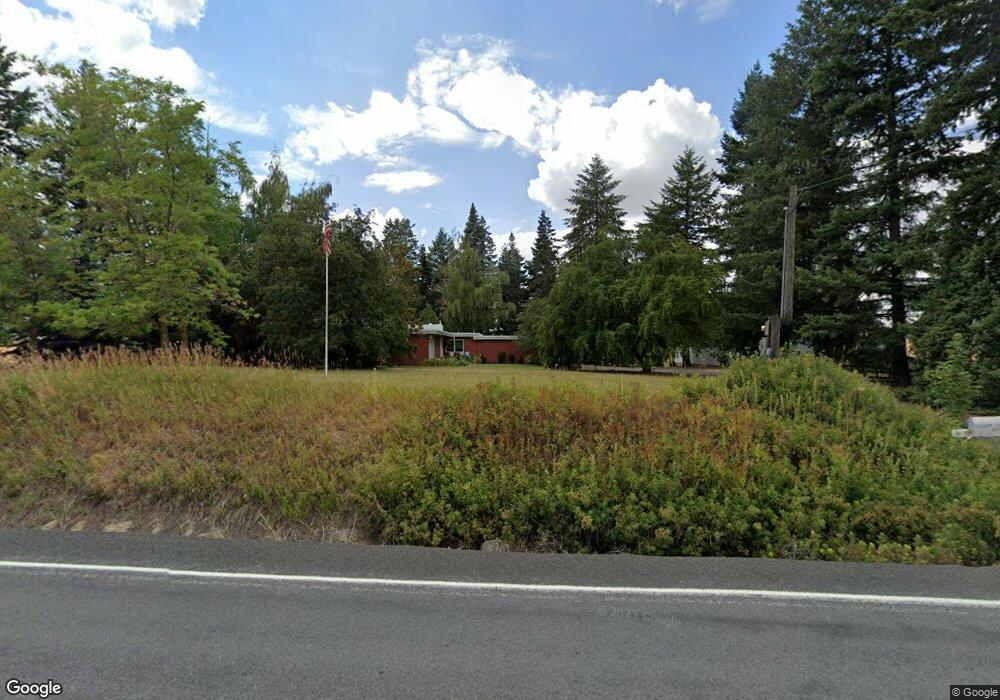
5601 Airport Rd Pullman, WA 99163
Estimated Value: $488,000 - $734,000
3
Beds
2
Baths
2,103
Sq Ft
$294/Sq Ft
Est. Value
About This Home
This home is located at 5601 Airport Rd, Pullman, WA 99163 and is currently estimated at $617,406, approximately $293 per square foot. 5601 Airport Rd is a home with nearby schools including Pullman High School.
Create a Home Valuation Report for This Property
The Home Valuation Report is an in-depth analysis detailing your home's value as well as a comparison with similar homes in the area
Home Values in the Area
Average Home Value in this Area
Tax History Compared to Growth
Tax History
| Year | Tax Paid | Tax Assessment Tax Assessment Total Assessment is a certain percentage of the fair market value that is determined by local assessors to be the total taxable value of land and additions on the property. | Land | Improvement |
|---|---|---|---|---|
| 2025 | $4,523 | $367,381 | $73,646 | $293,735 |
| 2024 | $4,120 | $319,462 | $64,040 | $255,422 |
| 2023 | $3,748 | $269,300 | $64,040 | $205,260 |
| 2022 | $3,840 | $269,300 | $64,040 | $205,260 |
| 2021 | $3,785 | $269,300 | $64,040 | $205,260 |
| 2020 | $3,722 | $269,300 | $64,040 | $205,260 |
| 2019 | $3,338 | $269,300 | $64,040 | $205,260 |
| 2018 | $3,665 | $269,300 | $64,040 | $205,260 |
| 2017 | $3,417 | $269,300 | $64,040 | $205,260 |
| 2016 | $3,628 | $269,300 | $64,040 | $205,260 |
| 2015 | $3,598 | $265,620 | $60,360 | $205,260 |
| 2014 | -- | $245,800 | $59,200 | $186,600 |
Source: Public Records
Map
Nearby Homes
- 4503 State Route 270
- 11 Carriage Hill Ct
- 620 Wallowa St
- 575 Waha Ct
- 650 Waha Ct
- 565 Wallowa St
- 635 Wallowa St
- 680 Wallowa St
- 670 Waha Ct
- 1645 NE Merman Dr Unit D 301
- 1645 NE Merman Dr Unit C 203
- 1645 NE Merman Dr Unit A 304
- 1645 NE Merman Dr Unit C-302
- 2005 NE Terreview A-3 Unit A-3
- 1283 Kitzmiller Rd
- 1491 Orville Boyd Rd
- 171 O'Donnell Rd
- 1810 NE Wheatland Dr
- 1735 NE Wheatland Dr
- 1155 NE Lybecker Rd