5601 Canary Rd Florence, OR 97439
Oregon Dunes NeighborhoodEstimated Value: $339,000 - $423,000
2
Beds
1
Bath
1,124
Sq Ft
$340/Sq Ft
Est. Value
About This Home
This home is located at 5601 Canary Rd, Florence, OR 97439 and is currently estimated at $382,519, approximately $340 per square foot. 5601 Canary Rd is a home located in Lane County with nearby schools including Siuslaw Elementary School, Siuslaw Middle School, and Siuslaw High School.
Ownership History
Date
Name
Owned For
Owner Type
Purchase Details
Closed on
May 30, 2001
Sold by
Federal Home Loan Mortgage Corporation
Bought by
Mcdougall Paul and Mcdougall Patty J
Current Estimated Value
Home Financials for this Owner
Home Financials are based on the most recent Mortgage that was taken out on this home.
Original Mortgage
$91,700
Outstanding Balance
$34,956
Interest Rate
7.15%
Estimated Equity
$347,563
Purchase Details
Closed on
Sep 1, 2000
Sold by
Ellis Cathy Lee
Bought by
Ellis Donald Douglas
Create a Home Valuation Report for This Property
The Home Valuation Report is an in-depth analysis detailing your home's value as well as a comparison with similar homes in the area
Home Values in the Area
Average Home Value in this Area
Purchase History
| Date | Buyer | Sale Price | Title Company |
|---|---|---|---|
| Mcdougall Paul | $101,990 | Western Pioneer Title Co | |
| Ellis Donald Douglas | -- | Cascade Title Co |
Source: Public Records
Mortgage History
| Date | Status | Borrower | Loan Amount |
|---|---|---|---|
| Open | Mcdougall Paul | $91,700 |
Source: Public Records
Tax History Compared to Growth
Tax History
| Year | Tax Paid | Tax Assessment Tax Assessment Total Assessment is a certain percentage of the fair market value that is determined by local assessors to be the total taxable value of land and additions on the property. | Land | Improvement |
|---|---|---|---|---|
| 2024 | $1,650 | $146,816 | -- | -- |
| 2023 | $1,650 | $142,540 | $0 | $0 |
| 2022 | $1,540 | $138,389 | $0 | $0 |
| 2021 | $1,498 | $134,359 | $0 | $0 |
| 2020 | $1,455 | $130,446 | $0 | $0 |
| 2019 | $1,399 | $126,647 | $0 | $0 |
| 2018 | $1,414 | $119,378 | $0 | $0 |
| 2017 | $1,363 | $119,378 | $0 | $0 |
| 2016 | $1,325 | $115,901 | $0 | $0 |
| 2015 | $1,302 | $112,525 | $0 | $0 |
| 2014 | $1,281 | $109,248 | $0 | $0 |
Source: Public Records
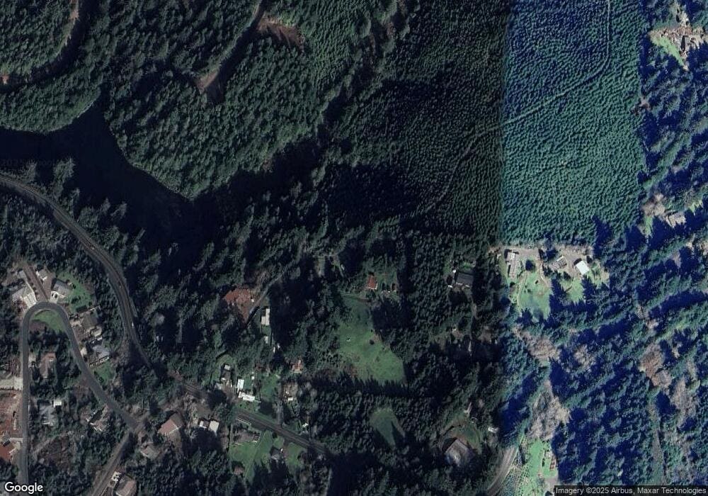
Map
Nearby Homes
- 5596 Canary Rd
- 0 Tl5500 Cedar Ridge Unit 23011790
- 6008 Little Woahink Dr
- 6018 Little Woahink Dr
- 6010 Little Woahink Dr
- 5700 Little Woahink Dr
- 5700 Little Woahink Dr Unit 1
- 0 Little Woahink Dr Unit 2 22424530
- 0 Woahink Dr Unit TL6501 452047484
- 84284 Alder Dr
- 5343 Leavitt Loop
- 84755 U S 101
- 84875 Highway 101
- 0 Alder Dr Tl 03300 Dr
- 85287 Hemlock St
- 5170 Grand Ave Unit 19
- 4990 Mitchell Loop Rd
- 0 Summerbell Dr Unit 7 663477072
- 85339 Glenada Rd
- 4640 Mitchell Loop Rd
- 0 Greengate Rd Unit 20076211
- 0 Greengate Rd Unit 1 19209292
- 0 Greengate Rd Unit 16 10073349
- 0 Greengate Rd Unit 13 10073341
- 0 Greengate Rd Unit 14 10073345
- 0 Greengate Rd Unit 15 10073347
- 0 Greengate Rd Unit 13 12068364
- 0 Greengate Rd Unit 15 12302471
- 0 Greengate Rd Unit 16 12131727
- 0 Greengate Rd
- 5607 Canary Rd
- 84597 Green Gate Rd
- 84596 Green Gate Rd
- 5619 Canary Rd
- 5723 Canary Rd
- 5763 Canary Rd
- 84576 Green Gate Rd
- 5629 Canary Rd
- 5613 Canary Rd
- 5585 Canary Rd