5601 E Carl Rd Au Gres, MI 48703
Estimated Value: $83,012 - $224,000
2
Beds
1
Bath
1,120
Sq Ft
$129/Sq Ft
Est. Value
About This Home
This home is located at 5601 E Carl Rd, Au Gres, MI 48703 and is currently estimated at $144,253, approximately $128 per square foot. 5601 E Carl Rd is a home located in Arenac County with nearby schools including Au Gres-Sims Elementary School and Au Gres-Sims Middle/High School.
Ownership History
Date
Name
Owned For
Owner Type
Purchase Details
Closed on
Nov 29, 2018
Sold by
Stawowy Dennis
Bought by
Fs & Aly Llc
Current Estimated Value
Purchase Details
Closed on
May 11, 2017
Sold by
Lucysnki Weston
Bought by
Promenchenkel Ashley
Purchase Details
Closed on
Apr 16, 2014
Sold by
Sheeran Sheeran and Decker Janine
Bought by
Lucynski Michael and Lucynski Bethanne
Purchase Details
Closed on
Feb 6, 2013
Sold by
Alan Alan and Decker Sandy
Bought by
Call Sheeran and Decker Terry
Purchase Details
Closed on
Jul 26, 2012
Sold by
Potts Janice
Bought by
Call Sheeran and Decker Terry
Purchase Details
Closed on
Oct 30, 2006
Sold by
Miller Theresa M
Bought by
Miller Theresa M and Decker Alan
Purchase Details
Closed on
Oct 26, 2006
Sold by
Miller Roy M and Kramer Patricia Miller
Bought by
Miller Theresa M
Create a Home Valuation Report for This Property
The Home Valuation Report is an in-depth analysis detailing your home's value as well as a comparison with similar homes in the area
Purchase History
| Date | Buyer | Sale Price | Title Company |
|---|---|---|---|
| Fs & Aly Llc | $600 | -- | |
| Promenchenkel Ashley | -- | None Available | |
| Lucynski Michael | $10,000 | -- | |
| Call Sheeran | -- | -- | |
| Call Sheeran | -- | -- | |
| Miller Theresa M | -- | -- | |
| Miller Theresa M | -- | -- |
Source: Public Records
Tax History
| Year | Tax Paid | Tax Assessment Tax Assessment Total Assessment is a certain percentage of the fair market value that is determined by local assessors to be the total taxable value of land and additions on the property. | Land | Improvement |
|---|---|---|---|---|
| 2025 | $97 | $3,900 | $0 | $0 |
| 2024 | $23 | $4,800 | $0 | $0 |
| 2023 | $22 | $3,100 | $0 | $0 |
| 2022 | $85 | $3,300 | $0 | $0 |
| 2021 | $79 | $1,800 | $0 | $0 |
| 2020 | $77 | $1,700 | $0 | $0 |
| 2019 | $76 | $1,700 | $0 | $0 |
| 2018 | $65 | $2,000 | $0 | $0 |
| 2017 | $0 | $1,400 | $0 | $0 |
| 2016 | $64 | $1,400 | $0 | $0 |
| 2015 | $14 | $1,400 | $0 | $0 |
| 2014 | $14 | $1,400 | $0 | $0 |
| 2013 | -- | $1,400 | $0 | $0 |
Source: Public Records
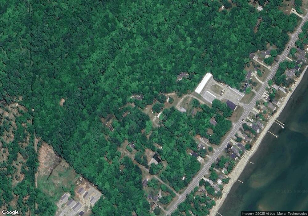
Map
Nearby Homes
- 32 Deer Run Dr
- 576 N Huron Rd Unit 102
- 5883 Lake Lane Dr
- 3818 N Hammell Beach Rd
- -0- S Huron Rd
- N/A Twining Rd
- 725 S Crescent Ave
- 5089 E Golfview Dr
- 745 S Crescent Ave
- 5314 E 16th St
- 5330 E 11th St
- N/A Huron Woods
- Lots 4, 5, & 6 Huron Woods
- 5877 Huron Woods
- 1647 N Huron Rd
- 1069 S 5th St
- N/A Noble Rd
- 4967 E Center St
- 831 Main Unit 105 St
- 4295 W Taral Terrace Dr
- 5601 E Carl Rd
- 5601 E Carl Rd
- 351 N Deer Run Trail
- 367 Deer Run Dr
- 5585 E Carl Rd
- 337 N Deer Run Trail
- 368 N Deer Run Trail
- 5580 E Carl Rd
- 315 N Huron Rd
- 315 N Huron Rd
- 315 N Huron Rd
- 5585 N Antonio Rd
- 385 N Birch St
- 5569 N Antonio Rd
- 5569 N Antonio Rd
- 5569 N Antonio Rd
- 5569 N Antonio Rd
- 5604 Antonia Rd Unit 45-47
- 311 N Huron Rd
- 311 N Huron Rd
Your Personal Tour Guide
Ask me questions while you tour the home.