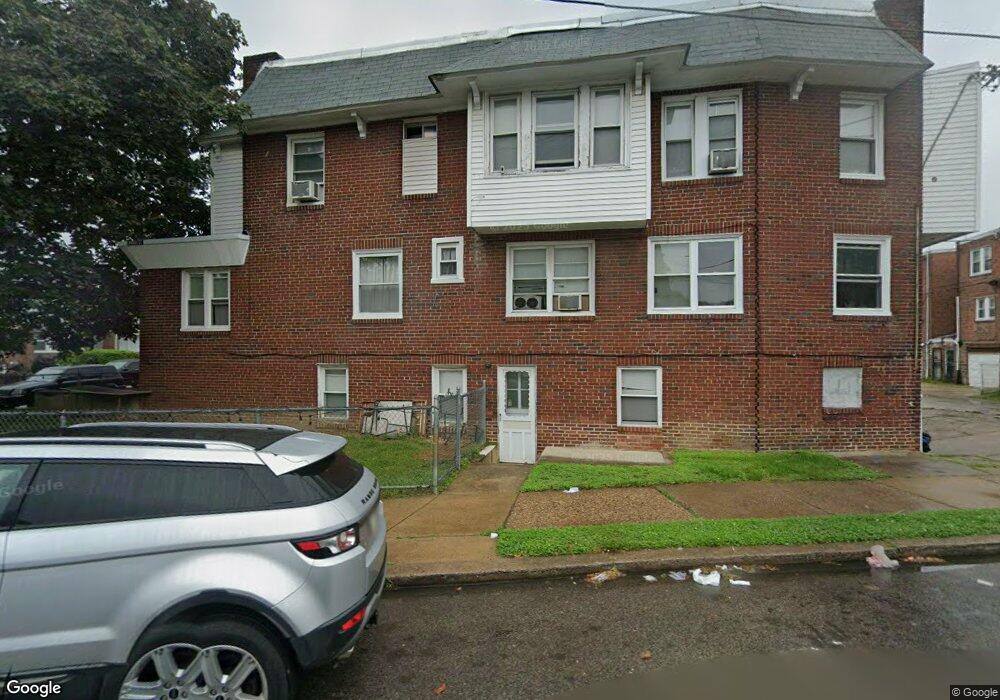
5601 Miriam Rd Philadelphia, PA 19124
Lawncrest NeighborhoodEstimated Value: $223,102 - $254,000
--
Bed
--
Bath
1,768
Sq Ft
$137/Sq Ft
Est. Value
About This Home
This home is located at 5601 Miriam Rd, Philadelphia, PA 19124 and is currently estimated at $241,367, approximately $136 per square foot. 5601 Miriam Rd is a home located in Philadelphia County with nearby schools including Laura H Carnell School, Harding Warren G Middle School, and Samuel Fels High School.
Ownership History
Date
Name
Owned For
Owner Type
Purchase Details
Closed on
Jun 28, 2006
Sold by
Asman Gregg M and Asman Barbara Ann
Bought by
Headley Joseph
Current Estimated Value
Home Financials for this Owner
Home Financials are based on the most recent Mortgage that was taken out on this home.
Original Mortgage
$94,500
Interest Rate
6.67%
Mortgage Type
Commercial
Create a Home Valuation Report for This Property
The Home Valuation Report is an in-depth analysis detailing your home's value as well as a comparison with similar homes in the area
Home Values in the Area
Average Home Value in this Area
Purchase History
| Date | Buyer | Sale Price | Title Company |
|---|---|---|---|
| Headley Joseph | $105,000 | None Available |
Source: Public Records
Mortgage History
| Date | Status | Borrower | Loan Amount |
|---|---|---|---|
| Closed | Headley Joseph | $94,500 |
Source: Public Records
Tax History Compared to Growth
Tax History
| Year | Tax Paid | Tax Assessment Tax Assessment Total Assessment is a certain percentage of the fair market value that is determined by local assessors to be the total taxable value of land and additions on the property. | Land | Improvement |
|---|---|---|---|---|
| 2025 | $3,141 | $259,400 | $51,880 | $207,520 |
| 2024 | $3,141 | $259,400 | $51,880 | $207,520 |
| 2023 | $3,141 | $224,400 | $44,880 | $179,520 |
| 2022 | $1,971 | $224,400 | $44,880 | $179,520 |
| 2021 | $1,971 | $0 | $0 | $0 |
| 2020 | $1,971 | $0 | $0 | $0 |
| 2019 | $1,891 | $0 | $0 | $0 |
| 2018 | $1,981 | $0 | $0 | $0 |
| 2017 | $1,981 | $0 | $0 | $0 |
| 2016 | $1,981 | $0 | $0 | $0 |
| 2015 | $1,896 | $0 | $0 | $0 |
| 2014 | -- | $141,500 | $25,739 | $115,761 |
| 2012 | -- | $15,552 | $3,214 | $12,338 |
Source: Public Records
Map
Nearby Homes
- 5640 Miriam Rd
- 972 Bridge St
- 5659 Miriam Rd
- 5661 Miriam Rd
- 934 Brill St
- 991 Carver St
- 996 Anchor St
- 925 E Sanger St
- 5505 Loretto Ave
- 938 Marcella St
- 929 1/2 Anchor St
- 894 E Sanger St
- 1225 E Cheltenham Ave
- 1211 E Cheltenham Ave
- 883 Brill St
- 894 Granite St
- 1127 E Cheltenham Ave
- 1048 Bridge St
- 889 Anchor St
- 854 E Sanger St
- 5603 Miriam Rd
- 5605 Miriam Rd
- 5607 Miriam Rd
- 5609 Miriam Rd
- 5611 Miriam Rd
- 5565 Miriam Rd
- 5613 Miriam Rd
- 5300 Roosevelt Blvd
- 5615 Miriam Rd
- 5563 Miriam Rd
- 5302 Roosevelt Blvd
- 5262 E Roosevelt Blvd
- 5304 Roosevelt Blvd
- 5617 Miriam Rd
- 5262 Roosevelt Blvd
- 5561 Miriam Rd
- 5260 Roosevelt Blvd
- 5606 Miriam Rd
- 5306 Roosevelt Blvd
- 5604 Miriam Rd