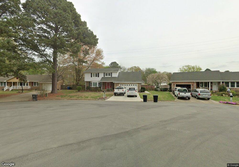
5601 Ranger Ct Virginia Beach, VA 23464
Estimated Value: $478,645 - $555,000
5
Beds
3
Baths
2,392
Sq Ft
$214/Sq Ft
Est. Value
About This Home
This home is located at 5601 Ranger Ct, Virginia Beach, VA 23464 and is currently estimated at $510,911, approximately $213 per square foot. 5601 Ranger Ct is a home located in Virginia Beach City with nearby schools including Woodstock Elementary School, Kempsville Middle School, and Kempsville High School.
Ownership History
Date
Name
Owned For
Owner Type
Purchase Details
Closed on
May 9, 2007
Sold by
Kantor Jill W
Bought by
Lee Curtis
Current Estimated Value
Home Financials for this Owner
Home Financials are based on the most recent Mortgage that was taken out on this home.
Original Mortgage
$272,000
Outstanding Balance
$165,810
Interest Rate
6.21%
Mortgage Type
New Conventional
Estimated Equity
$345,101
Create a Home Valuation Report for This Property
The Home Valuation Report is an in-depth analysis detailing your home's value as well as a comparison with similar homes in the area
Home Values in the Area
Average Home Value in this Area
Purchase History
| Date | Buyer | Sale Price | Title Company |
|---|---|---|---|
| Lee Curtis | $340,000 | -- |
Source: Public Records
Mortgage History
| Date | Status | Borrower | Loan Amount |
|---|---|---|---|
| Open | Lee Curtis | $272,000 |
Source: Public Records
Tax History Compared to Growth
Tax History
| Year | Tax Paid | Tax Assessment Tax Assessment Total Assessment is a certain percentage of the fair market value that is determined by local assessors to be the total taxable value of land and additions on the property. | Land | Improvement |
|---|---|---|---|---|
| 2025 | $3,545 | $381,600 | $145,000 | $236,600 |
| 2024 | $3,545 | $365,500 | $145,000 | $220,500 |
| 2023 | $3,651 | $368,800 | $135,200 | $233,600 |
| 2022 | $3,402 | $343,600 | $119,400 | $224,200 |
| 2021 | $2,908 | $293,700 | $114,700 | $179,000 |
| 2020 | $2,727 | $268,000 | $114,700 | $153,300 |
| 2019 | $2,766 | $266,600 | $114,700 | $151,900 |
| 2018 | $2,673 | $266,600 | $114,700 | $151,900 |
| 2017 | $2,654 | $264,700 | $116,300 | $148,400 |
| 2016 | $2,621 | $264,700 | $116,300 | $148,400 |
| 2015 | $2,449 | $247,400 | $116,300 | $131,100 |
| 2014 | $1,978 | $232,200 | $128,700 | $103,500 |
Source: Public Records
Map
Nearby Homes
- 928 Richland Dr
- 609 Avalon Ave
- 928 Old Homestead Ln
- 813 Oglesby Ct
- 738 Driskill Ct
- 5448 Todd St
- 764 Woodstock Rd
- 5805 Sherman Ct
- 5809 Sherman Ct
- 5817 Sherman Ct
- 5821 Sherman Ct
- 5825 Sherman Ct
- 5829 Sherman Ct
- 881 Strickland Blvd
- 5833 Sherman Ct
- 700 Achilles Ct
- 5708 Normandy Ave
- 568 Sterling Rd
- 540 Sterling Rd
- 5317 Chabot Way