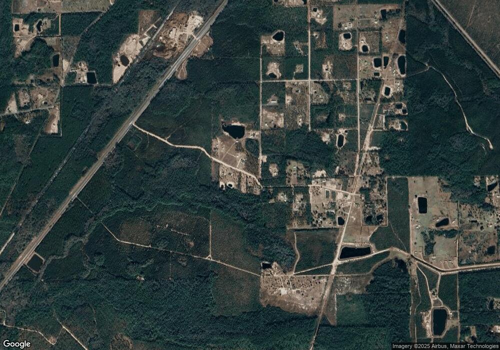
5602 Spurlock Ln Callahan, FL 32011
Estimated Value: $376,000 - $691,000
8
Beds
4
Baths
1,346
Sq Ft
$389/Sq Ft
Est. Value
About This Home
This home is located at 5602 Spurlock Ln, Callahan, FL 32011 and is currently estimated at $524,142, approximately $389 per square foot. 5602 Spurlock Ln is a home located in Nassau County with nearby schools including Callahan Elementary School, Callahan Intermediate School, and Callahan Middle School.
Ownership History
Date
Name
Owned For
Owner Type
Purchase Details
Closed on
Mar 31, 2013
Sold by
Cattail Investment Corporation
Bought by
Csx Transporation Inc
Current Estimated Value
Purchase Details
Closed on
Mar 20, 2013
Sold by
Higginbotham Treana Michelle
Bought by
Higginbotham Vernon Nathan
Purchase Details
Closed on
Jan 11, 2002
Sold by
Overstreet Richard and Overstreet Linda
Bought by
Cattall Investment Corp
Home Financials for this Owner
Home Financials are based on the most recent Mortgage that was taken out on this home.
Original Mortgage
$160,000
Interest Rate
7.08%
Mortgage Type
Balloon
Create a Home Valuation Report for This Property
The Home Valuation Report is an in-depth analysis detailing your home's value as well as a comparison with similar homes in the area
Home Values in the Area
Average Home Value in this Area
Purchase History
| Date | Buyer | Sale Price | Title Company |
|---|---|---|---|
| Csx Transporation Inc | $15,000 | Attorney | |
| Higginbotham Vernon Nathan | -- | Attorney | |
| Cattall Investment Corp | $160,000 | Stewart Title Of Jacksonvill |
Source: Public Records
Mortgage History
| Date | Status | Borrower | Loan Amount |
|---|---|---|---|
| Previous Owner | Cattall Investment Corp | $160,000 |
Source: Public Records
Tax History Compared to Growth
Tax History
| Year | Tax Paid | Tax Assessment Tax Assessment Total Assessment is a certain percentage of the fair market value that is determined by local assessors to be the total taxable value of land and additions on the property. | Land | Improvement |
|---|---|---|---|---|
| 2024 | $332 | $20,980 | -- | -- |
| 2023 | $332 | $21,295 | -- | -- |
| 2022 | $294 | $19,712 | $17,712 | $2,000 |
| 2021 | $294 | $19,912 | $17,712 | $2,200 |
| 2020 | $315 | $19,543 | $17,343 | $2,200 |
| 2019 | $799 | $48,603 | $46,403 | $2,200 |
| 2018 | $812 | $48,603 | $0 | $0 |
| 2017 | $1,846 | $111,877 | $0 | $0 |
| 2016 | $1,923 | $114,217 | $0 | $0 |
| 2015 | $1,972 | $114,217 | $0 | $0 |
| 2014 | $2,000 | $114,217 | $0 | $0 |
Source: Public Records
Map
Nearby Homes
- TBD U S 301
- 0 New Ogilvie Rd Unit 108180
- 0 New Ogilvie Rd
- 45112 Second Ave
- 545819 Route 1
- 45134 Booth St
- 45107 Booth St
- 451632 Old Dixie Hwy
- 451624 Old Dixie Hwy
- 451064 Old Dixie Hwy
- 450244 Old Dixie Hwy
- 45047 Amhurst Oaks Dr
- 45059 Taylor Rd
- 44090 Apache Trail
- 45356 Red Brick Dr
- 45522 Ingleham Cir
- 0 Lem Turner Rd Unit 2056110
- 0 Lem Turner Rd Unit 110226
- 45397 Ingleham Cir
- 45260 Red Brick Dr
- 45003 Spurlock Ln
- 615583 River Rd
- 45035 Hartford Ct
- 45041 Hartford Ct
- 617059 River Rd
- 45040 Hartford Ct
- 45029 Oak Trail
- 45029 Oak Trail
- 45049 Oak Trail
- 45061 Oak Trail
- 611186 River Rd
- 45087 Oak Trail
- 45032 Oak Trail
- 45100 Pony Ln
- LOT 1 Sharon Tract_river Rd
- 45066 Oak Trail
- 0 River Rd Unit 633684
- 0 River Rd Unit 102135
- 0 River Rd Unit 1158508
- 0 River Rd Unit 1122940
