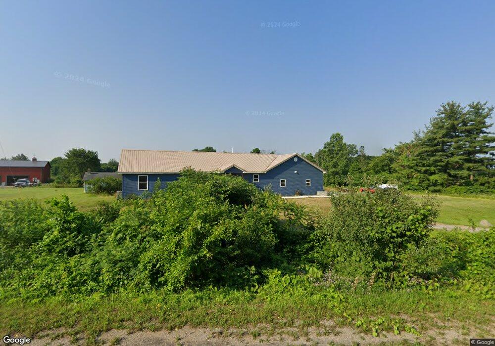
5602 Warnke Rd Michigan City, IN 46360
Estimated Value: $223,000 - $336,000
3
Beds
2
Baths
3,342
Sq Ft
$79/Sq Ft
Est. Value
About This Home
This home is located at 5602 Warnke Rd, Michigan City, IN 46360 and is currently estimated at $264,099, approximately $79 per square foot. 5602 Warnke Rd is a home located in LaPorte County with nearby schools including Springfield Elementary School, Martin T. Krueger Middle School, and Michigan City High School.
Ownership History
Date
Name
Owned For
Owner Type
Purchase Details
Closed on
Jun 11, 2007
Sold by
Wilke Elsie E
Bought by
Bailey Gerald R and Bailey Pamela D
Current Estimated Value
Purchase Details
Closed on
Sep 2, 2005
Sold by
Wilke Elsie E and Wilke Norman W
Bought by
Bailey Gerald R and Bailey Pamela D
Purchase Details
Closed on
Jul 30, 2005
Sold by
Wilke Elsie E and Wilke Norman W
Bought by
Bailey Gerald R and Bailey Pamela D
Create a Home Valuation Report for This Property
The Home Valuation Report is an in-depth analysis detailing your home's value as well as a comparison with similar homes in the area
Home Values in the Area
Average Home Value in this Area
Purchase History
| Date | Buyer | Sale Price | Title Company |
|---|---|---|---|
| Bailey Gerald R | -- | None Available | |
| Bailey Gerald R | -- | -- | |
| Bailey Gerald R | -- | -- | |
| Bailey Gerald R | -- | -- |
Source: Public Records
Tax History Compared to Growth
Tax History
| Year | Tax Paid | Tax Assessment Tax Assessment Total Assessment is a certain percentage of the fair market value that is determined by local assessors to be the total taxable value of land and additions on the property. | Land | Improvement |
|---|---|---|---|---|
| 2024 | $4,186 | $115,800 | $29,100 | $86,700 |
| 2023 | $1,942 | $107,900 | $29,100 | $78,800 |
| 2022 | $1,902 | $104,800 | $29,100 | $75,700 |
| 2021 | $1,924 | $104,800 | $29,100 | $75,700 |
| 2020 | $2,776 | $104,800 | $29,100 | $75,700 |
| 2019 | $2,730 | $145,500 | $24,300 | $121,200 |
| 2018 | $2,576 | $137,700 | $24,300 | $113,400 |
| 2017 | $2,471 | $128,300 | $24,300 | $104,000 |
| 2016 | $1,708 | $96,400 | $19,400 | $77,000 |
| 2014 | $1,849 | $94,500 | $23,600 | $70,900 |
Source: Public Records
Map
Nearby Homes
- 990 Indiana 212
- 800 Indiana 212 Unit C5N
- 0 Harvey Ct
- N 450 W
- 3209 Springland Ave
- V/L N 600 W
- 4852 W Us Highway 20
- 0 W Us Hwy 20
- 61 Timber Trail
- 30 Blackberry Trail
- 9 Blackberry Trail
- 10 Blackberry Trail
- 5188 W Laxita Dr
- 122 Rogers Ave
- 00 Pawnee Trail
- 000 Pawnee Trail
- 0 Nicomus Path
- 9851 N 500 W
- 153 Mayfield Dr
- Integrity 1910 Plan at Mayfield Prairie