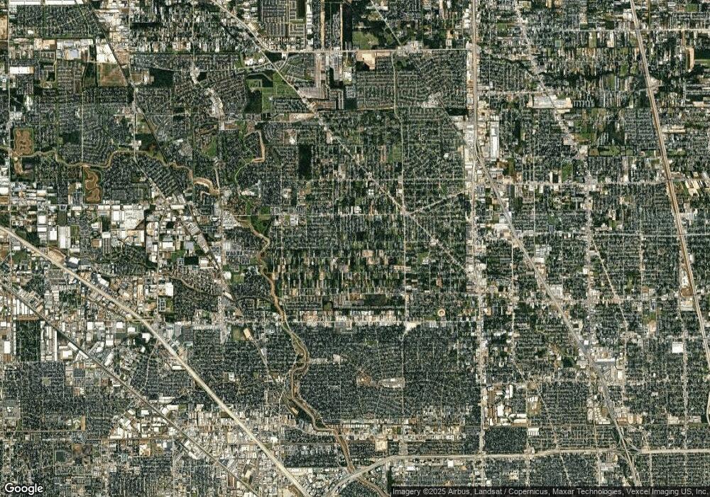
5603 Madison St Unit A and B Houston, TX 77091
Acres Homes NeighborhoodEstimated Value: $304,000 - $431,000
6
Beds
4
Baths
1,840
Sq Ft
$184/Sq Ft
Est. Value
About This Home
This home is located at 5603 Madison St Unit A and B, Houston, TX 77091 and is currently estimated at $338,067, approximately $183 per square foot. 5603 Madison St Unit A and B is a home located in Harris County with nearby schools including Highland Heights Elementary School, Williams Middle, and Booker T Washington Sr High.
Ownership History
Date
Name
Owned For
Owner Type
Purchase Details
Closed on
Nov 5, 2015
Sold by
Makkani Ghulam and Makkani Zainab A
Bought by
Laning James and Laning Kelly
Current Estimated Value
Home Financials for this Owner
Home Financials are based on the most recent Mortgage that was taken out on this home.
Original Mortgage
$112,350
Outstanding Balance
$88,698
Interest Rate
3.9%
Mortgage Type
New Conventional
Estimated Equity
$249,369
Purchase Details
Closed on
Jan 29, 2008
Sold by
Deutsche Bank National Trust Co
Bought by
Makkani Ghulam and Makkani Zainab A
Purchase Details
Closed on
Sep 4, 2007
Sold by
Lacy Arganious D
Bought by
Deutsche Bank National Trust Co and Long Beach Mortgage Loan Trust 2006-11
Create a Home Valuation Report for This Property
The Home Valuation Report is an in-depth analysis detailing your home's value as well as a comparison with similar homes in the area
Home Values in the Area
Average Home Value in this Area
Purchase History
| Date | Buyer | Sale Price | Title Company |
|---|---|---|---|
| Laning James | -- | Attorney | |
| Makkani Ghulam | -- | None Available | |
| Deutsche Bank National Trust Co | $74,000 | None Available |
Source: Public Records
Mortgage History
| Date | Status | Borrower | Loan Amount |
|---|---|---|---|
| Open | Laning James | $112,350 |
Source: Public Records
Tax History Compared to Growth
Tax History
| Year | Tax Paid | Tax Assessment Tax Assessment Total Assessment is a certain percentage of the fair market value that is determined by local assessors to be the total taxable value of land and additions on the property. | Land | Improvement |
|---|---|---|---|---|
| 2025 | $5,294 | $259,229 | $75,062 | $184,167 |
| 2024 | $5,294 | $252,993 | $75,062 | $177,931 |
| 2023 | $5,294 | $239,464 | $75,062 | $164,402 |
| 2022 | $4,720 | $206,000 | $51,966 | $154,034 |
| 2021 | $4,263 | $182,909 | $34,644 | $148,265 |
| 2020 | $3,439 | $142,000 | $27,427 | $114,573 |
| 2019 | $4,043 | $159,792 | $9,602 | $150,190 |
| 2018 | $3,024 | $119,500 | $9,602 | $109,898 |
| 2017 | $3,022 | $141,000 | $9,602 | $131,398 |
| 2016 | $3,565 | $0 | $0 | $0 |
| 2015 | $1,877 | $73,000 | $9,602 | $63,398 |
| 2014 | $1,877 | $73,000 | $9,602 | $63,398 |
Source: Public Records
Map
Nearby Homes
- 5427 Alba Rd
- 825 Paul Quinn St Unit F
- 825 Paul Quinn St Unit A
- 825 Paul Quinn St Unit C
- 825 Paul Quinn St Unit E
- 825 Paul Quinn St Unit B
- 982 W Donovan St
- 963 Marcella St
- 1034 W Donovan St
- 849 Mansfield St Unit B
- 849 Mansfield St Unit E
- 849 Mansfield St Unit D
- 849 Mansfield St Unit F
- 849 Mansfield St Unit A
- 853 Mansfield St Unit E
- 853 Mansfield St Unit D
- 853 Mansfield St Unit A
- 853 Mansfield St Unit B
- 853 Mansfield St Unit F
- 946 Benchfield Dr
- 5603 Madison St
- 5603 Madison St Unit B
- 5603 Madison St Unit A
- 5604 Madison St
- 5604 Madison St
- 5607 Madison St
- 5607 Madison St Unit B
- 5606 Madison St
- 5602 Madison St
- 5608 Madison St
- 0 Madison St
- 5610 Madison St
- 5612 Madison St
- 5614 Madison St
- 5616 Madison St
- 5611 Madison St
- 5611 Madison St Unit A
- 5611 Madison St Unit B
- 855 Chas Ln
- 5310 Kindred Garden Ln
