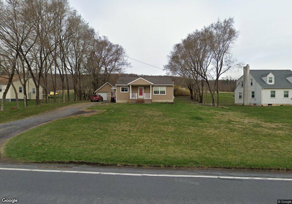
5603 W Buffalo Run Rd Port Matilda, PA 16870
Patton NeighborhoodEstimated Value: $211,000 - $244,234
3
Beds
1
Bath
1,054
Sq Ft
$216/Sq Ft
Est. Value
About This Home
This home is located at 5603 W Buffalo Run Rd, Port Matilda, PA 16870 and is currently estimated at $227,809, approximately $216 per square foot. 5603 W Buffalo Run Rd is a home located in Centre County with nearby schools including Gray's Woods Elementary School, Park Forest Middle School, and State College Area High School.
Ownership History
Date
Name
Owned For
Owner Type
Purchase Details
Closed on
Jun 11, 2013
Sold by
Alvarado Angel M
Bought by
Alvarado Angel M and Alvarado Gladys Rivera
Current Estimated Value
Purchase Details
Closed on
Jan 11, 2005
Sold by
Weber Fredric L and Weber Ruth I
Bought by
Alvarado Angel M
Home Financials for this Owner
Home Financials are based on the most recent Mortgage that was taken out on this home.
Original Mortgage
$131,400
Outstanding Balance
$75,911
Interest Rate
8%
Mortgage Type
Purchase Money Mortgage
Estimated Equity
$151,898
Create a Home Valuation Report for This Property
The Home Valuation Report is an in-depth analysis detailing your home's value as well as a comparison with similar homes in the area
Home Values in the Area
Average Home Value in this Area
Purchase History
| Date | Buyer | Sale Price | Title Company |
|---|---|---|---|
| Alvarado Angel M | -- | None Available | |
| Alvarado Angel M | $131,400 | -- |
Source: Public Records
Mortgage History
| Date | Status | Borrower | Loan Amount |
|---|---|---|---|
| Open | Alvarado Angel M | $131,400 |
Source: Public Records
Tax History Compared to Growth
Tax History
| Year | Tax Paid | Tax Assessment Tax Assessment Total Assessment is a certain percentage of the fair market value that is determined by local assessors to be the total taxable value of land and additions on the property. | Land | Improvement |
|---|---|---|---|---|
| 2025 | $2,410 | $34,600 | $7,190 | $27,410 |
| 2024 | $2,248 | $34,600 | $7,190 | $27,410 |
| 2023 | $2,248 | $34,600 | $7,190 | $27,410 |
| 2022 | $2,195 | $34,600 | $7,190 | $27,410 |
| 2021 | $2,195 | $34,600 | $7,190 | $27,410 |
| 2020 | $2,195 | $34,600 | $7,190 | $27,410 |
| 2019 | $1,486 | $34,600 | $7,190 | $27,410 |
| 2018 | $2,127 | $34,600 | $7,190 | $27,410 |
| 2017 | $2,104 | $34,600 | $7,190 | $27,410 |
| 2016 | -- | $34,600 | $7,190 | $27,410 |
| 2015 | -- | $34,600 | $7,190 | $27,410 |
| 2014 | -- | $34,600 | $7,190 | $27,410 |
Source: Public Records
Map
Nearby Homes
- 108 Heiskel Dr
- 111 Wildernest Ln
- 107 Wildernest Ln
- 111 Harvard Rd
- 112 Harvard Rd
- 179 Buck Moth Way
- 95 Greenmeadow Ln
- 196 Buck Moth Way
- 202 Phoebe Rd
- 151 Jack Pine Way
- 157 Jack Pine Way
- 159 Jack Pine Way
- 161 Jack Pine Way
- Brandywine Plan at Grays Pointe - Single Family Homes
- Dartmouth Plan at Grays Pointe - Single Family Homes
- Crestmont Plan at Grays Pointe - Single Family Homes
- Charlotte Plan at Grays Pointe - Single Family Homes
- Elmcrest Plan at Grays Pointe - Single Family Homes
- Bayberry Plan at Grays Pointe - Single Family Homes
- Aspen Plan at Grays Pointe - Single Family Homes