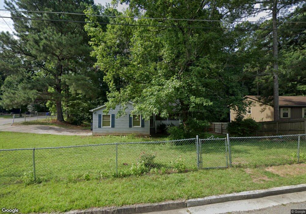
5604 Liberty Rd Union City, GA 30291
Estimated Value: $225,000 - $265,000
3
Beds
2
Baths
1,798
Sq Ft
$137/Sq Ft
Est. Value
About This Home
This home is located at 5604 Liberty Rd, Union City, GA 30291 and is currently estimated at $247,104, approximately $137 per square foot. 5604 Liberty Rd is a home located in Fulton County with nearby schools including Liberty Point Elementary School, Camp Creek Middle School, and Langston Hughes High School.
Ownership History
Date
Name
Owned For
Owner Type
Purchase Details
Closed on
Oct 2, 2020
Sold by
Orange Capital Funding Llc
Bought by
Firstcap Financial Llc
Current Estimated Value
Purchase Details
Closed on
Aug 14, 2017
Bought by
Orange Capital Funding Llc
Purchase Details
Closed on
May 11, 2011
Sold by
Federal Natl Mtg Assn Fnma
Bought by
Harbour Portfolio Vi Lp
Purchase Details
Closed on
Sep 7, 2010
Sold by
Litton Ln Svcng Lp
Bought by
Federal Natl Mtg Assn Fnma
Purchase Details
Closed on
Sep 14, 2005
Sold by
Mcghee Jeffrey D and Mcghee Iris B
Bought by
Powell Charlie J and Powell Phyllis D
Home Financials for this Owner
Home Financials are based on the most recent Mortgage that was taken out on this home.
Original Mortgage
$96,560
Interest Rate
6.51%
Mortgage Type
New Conventional
Create a Home Valuation Report for This Property
The Home Valuation Report is an in-depth analysis detailing your home's value as well as a comparison with similar homes in the area
Home Values in the Area
Average Home Value in this Area
Purchase History
| Date | Buyer | Sale Price | Title Company |
|---|---|---|---|
| Firstcap Financial Llc | -- | -- | |
| Orange Capital Funding Llc | $23,255 | -- | |
| Harbour Portfolio Vi Lp | $18,997 | -- | |
| Federal Natl Mtg Assn Fnma | -- | -- | |
| Litton Ln Svcng Lp | $112,191 | -- | |
| Powell Charlie J | $120,700 | -- |
Source: Public Records
Mortgage History
| Date | Status | Borrower | Loan Amount |
|---|---|---|---|
| Previous Owner | Powell Charlie J | $96,560 |
Source: Public Records
Tax History Compared to Growth
Tax History
| Year | Tax Paid | Tax Assessment Tax Assessment Total Assessment is a certain percentage of the fair market value that is determined by local assessors to be the total taxable value of land and additions on the property. | Land | Improvement |
|---|---|---|---|---|
| 2025 | $1,139 | $67,280 | $17,640 | $49,640 |
| 2023 | $2,211 | $78,320 | $20,640 | $57,680 |
| 2022 | $1,434 | $54,520 | $13,320 | $41,200 |
| 2021 | $547 | $41,480 | $8,280 | $33,200 |
| 2020 | $1,139 | $41,000 | $8,200 | $32,800 |
| 2019 | $1,299 | $30,760 | $5,840 | $24,920 |
| 2018 | $697 | $24,680 | $3,200 | $21,480 |
| 2017 | $720 | $24,680 | $3,200 | $21,480 |
| 2016 | $829 | $28,400 | $5,120 | $23,280 |
| 2015 | $1,278 | $28,400 | $5,120 | $23,280 |
| 2014 | $528 | $17,240 | $2,080 | $15,160 |
Source: Public Records
Map
Nearby Homes
- 0 Lakeside Dr Unit 22475152
- 0 Lakeside Dr Unit 7515650
- 0 Lower Dixie Lake Rd Unit 22475153
- 0 Lower Dixie Lake Rd Unit 7515143
- 5910 Rock Rd
- 5856 Rock Rd
- 5900 Union Woods Way
- 3227 Diamond Bluff
- 6024 Diamond Ln
- 6000 Diamond Ln
- 4695 Ravenwood Loop
- 0 Highpoint Rd Unit 10553938
- 6200 Ward Rd
- 000 Highpoint Rd
- 99 Highpoint Rd
- 0 Ward Rd Unit 7174145
- 0 Ward Rd Unit 20102427
- 4443 Manor Hill Dr
- 4458 Manor Hill Dr
- 5612 Liberty Rd Unit 3
- 5590 Liberty Rd Unit 1
- 5620 Liberty Rd
- 5581 Liberty Rd
- 5985 Armour Dr Unit 1
- 5580 Liberty Rd
- 5628 Liberty Rd
- 5996 Kings Ct
- 5985 Kings Ct
- 5973 Armour Dr
- 5570 Liberty Rd
- 5561 Liberty Rd
- 5995 Mills St
- 5638 Liberty Rd
- 5963 Armour Dr
- 5999 Kings Ct
- 6006 Kings Ct
- 5643 Liberty Rd
- 5974 Armour Dr
- 6009 Kings Ct