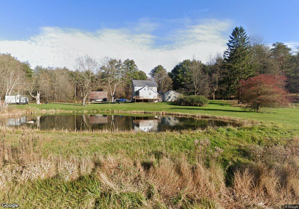
5604 State Route 487 Benton, PA 17814
Estimated Value: $174,000 - $271,000
--
Bed
--
Bath
1,701
Sq Ft
$126/Sq Ft
Est. Value
About This Home
This home is located at 5604 State Route 487, Benton, PA 17814 and is currently estimated at $214,963, approximately $126 per square foot. 5604 State Route 487 is a home located in Columbia County with nearby schools including Appleman Elementary School and Benton Area Middle School/High School.
Ownership History
Date
Name
Owned For
Owner Type
Purchase Details
Closed on
Jul 28, 2005
Sold by
Wilson Richard W and Wilson Kathleen
Bought by
Gallagher Jordan D and Gallagher Esther R
Current Estimated Value
Home Financials for this Owner
Home Financials are based on the most recent Mortgage that was taken out on this home.
Original Mortgage
$120,000
Outstanding Balance
$62,551
Interest Rate
5.54%
Mortgage Type
New Conventional
Estimated Equity
$152,412
Create a Home Valuation Report for This Property
The Home Valuation Report is an in-depth analysis detailing your home's value as well as a comparison with similar homes in the area
Home Values in the Area
Average Home Value in this Area
Purchase History
| Date | Buyer | Sale Price | Title Company |
|---|---|---|---|
| Gallagher Jordan D | $120,000 | None Available |
Source: Public Records
Mortgage History
| Date | Status | Borrower | Loan Amount |
|---|---|---|---|
| Open | Gallagher Jordan D | $120,000 |
Source: Public Records
Tax History Compared to Growth
Tax History
| Year | Tax Paid | Tax Assessment Tax Assessment Total Assessment is a certain percentage of the fair market value that is determined by local assessors to be the total taxable value of land and additions on the property. | Land | Improvement |
|---|---|---|---|---|
| 2025 | $2,823 | $31,082 | $0 | $0 |
| 2024 | $2,730 | $31,082 | $7,785 | $23,297 |
| 2023 | $2,530 | $31,082 | $7,785 | $23,297 |
| 2022 | $2,445 | $31,082 | $7,785 | $23,297 |
| 2021 | $2,375 | $31,082 | $7,785 | $23,297 |
| 2020 | $2,292 | $31,082 | $7,785 | $23,297 |
| 2019 | $2,240 | $31,082 | $7,785 | $23,297 |
| 2018 | $2,188 | $31,082 | $7,785 | $23,297 |
| 2017 | $2,050 | $31,082 | $7,785 | $23,297 |
| 2016 | -- | $30,445 | $7,785 | $22,660 |
| 2015 | -- | $30,445 | $7,785 | $22,660 |
| 2014 | -- | $30,445 | $7,785 | $22,660 |
Source: Public Records
Map
Nearby Homes
- 01 S Comstock Rd
- 669 Pennsylvania 118
- 271 Kearkuff Rd
- 607 Old Tioga Turnpike
- 5063 Pennsylvania 487
- 0 5063 #19 State Route 487 Hwy
- Lot 22 5063 Pa-487
- 32 Schoolhouse Rd
- 174 Jamison City Rd
- 76 Ferry Carrig Ln
- 972 Central Rd
- 12 Jamison City Rd
- 491 Klinger Hill Rd
- 1096 Elk Grove Rd
- 0 Raski Rd
- 207 Klinger Hill Rd
- 0 Bethel Hill Rd
- 263 Bonnieville Rd
- 1367 Old Tioga Turnpike
- 573 Mendenhall Hill Rd
- 5591 State Route 487
- 5584 State Route 487
- 5584 State Route 487
- 5542 State Route 487
- 5528 State Route 487
- 5522 State Route 487
- 161 State Route 118
- 161 State Route 118
- 2 Laubach Rd
- 214 State Route 118
- 2098 County Line Rd
- 5466 State Route 487
- 156 State Route 118
- 304 Fallow Brook Rd
- 194 Fallow Brook Rd
- 2030 County Line Rd
- 194A Fallow Brook Rd
- 166 Fallow Brook Rd
- 89 Laubach Rd
- 89 Laubach Rd