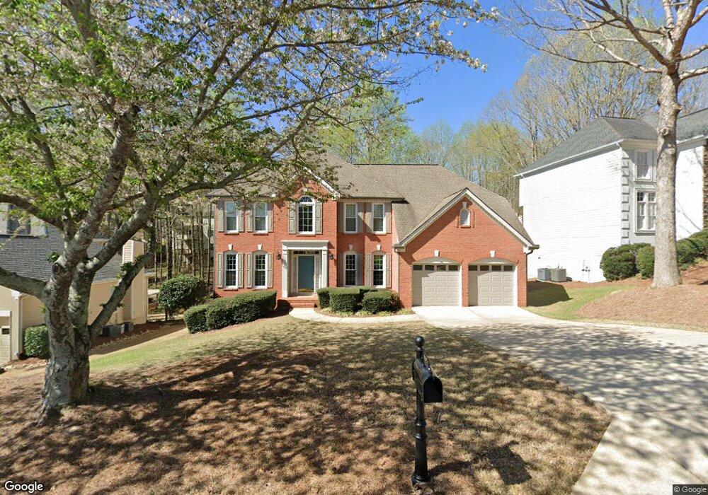
5605 Ashwind Trace Alpharetta, GA 30005
Estimated Value: $649,000 - $668,000
4
Beds
3
Baths
2,778
Sq Ft
$237/Sq Ft
Est. Value
About This Home
This home is located at 5605 Ashwind Trace, Alpharetta, GA 30005 and is currently estimated at $657,877, approximately $236 per square foot. 5605 Ashwind Trace is a home located in Fulton County with nearby schools including Abbotts Hill Elementary School, Taylor Road Middle School, and Chattahoochee High School.
Ownership History
Date
Name
Owned For
Owner Type
Purchase Details
Closed on
May 6, 2002
Sold by
Chase Manhattan Bank Usa
Bought by
Varco Thomas G and Varco Colette I
Current Estimated Value
Purchase Details
Closed on
May 22, 1997
Sold by
Burns James P and Burns Leslie C
Bought by
Varco Thomas G and Varco Colette I
Home Financials for this Owner
Home Financials are based on the most recent Mortgage that was taken out on this home.
Original Mortgage
$144,000
Interest Rate
7.12%
Mortgage Type
New Conventional
Create a Home Valuation Report for This Property
The Home Valuation Report is an in-depth analysis detailing your home's value as well as a comparison with similar homes in the area
Home Values in the Area
Average Home Value in this Area
Purchase History
| Date | Buyer | Sale Price | Title Company |
|---|---|---|---|
| Varco Thomas G | -- | -- | |
| Varco Thomas G | $193,000 | -- |
Source: Public Records
Mortgage History
| Date | Status | Borrower | Loan Amount |
|---|---|---|---|
| Previous Owner | Varco Thomas G | $144,000 |
Source: Public Records
Tax History Compared to Growth
Tax History
| Year | Tax Paid | Tax Assessment Tax Assessment Total Assessment is a certain percentage of the fair market value that is determined by local assessors to be the total taxable value of land and additions on the property. | Land | Improvement |
|---|---|---|---|---|
| 2025 | $3,676 | $240,240 | $67,680 | $172,560 |
| 2023 | $5,880 | $208,320 | $36,120 | $172,200 |
| 2022 | $3,511 | $174,720 | $38,040 | $136,680 |
| 2021 | $3,469 | $144,560 | $25,400 | $119,160 |
| 2020 | $3,495 | $147,800 | $30,240 | $117,560 |
| 2019 | $424 | $145,200 | $29,720 | $115,480 |
| 2018 | $3,808 | $135,840 | $26,240 | $109,600 |
| 2017 | $3,436 | $113,480 | $14,680 | $98,800 |
| 2016 | $3,363 | $113,480 | $14,680 | $98,800 |
| 2015 | $3,398 | $113,480 | $14,680 | $98,800 |
| 2014 | $3,489 | $113,480 | $14,680 | $98,800 |
Source: Public Records
Map
Nearby Homes
- 5575 Ashwind Trace
- 11615 Windbrooke Way
- 11575 Windbrooke Way Unit 2
- 5610 N Hillbrooke Trace
- 775 Ellsborough Ct
- 5785 Oxborough Way Unit 1
- 11420 Crossington Rd
- 5470 N Hillbrooke Trace
- 5325 Hillgate Crossing
- 130 Wyndlam Ct
- 335 Dunhill Way Ct
- 11260 Donnington Dr
- 230 Sessingham Ln
- 640 Arncliffe Ct Unit 1
- 11835 Leeward Walk Cir
- 5200 Cresslyn Ridge
- 5595 Ashwind Trace
- 5615 Ashwind Trace Unit 5
- 5585 Ashwind Trace Unit 5
- 11635 Windbrooke Way
- 5625 Ashwind Trace
- 600 Windland Close
- 11645 Windbrooke Way Unit 2
- 11625 Windbrooke Way
- 5600 Ashwind Trace
- 605 Windland Close Unit 5
- 5635 Ashwind Trace
- 11655 Windbrooke Way
- 610 Windland Close Unit 5
- 505 Ashleaf Place
- 615 Windland Close Unit 5
- 5565 Ashwind Trace
- 0 Windland Close Unit 7209178
- 0 Windland Close Unit 7476115
- 0 Windland Close
- 11605 Windbrooke Way