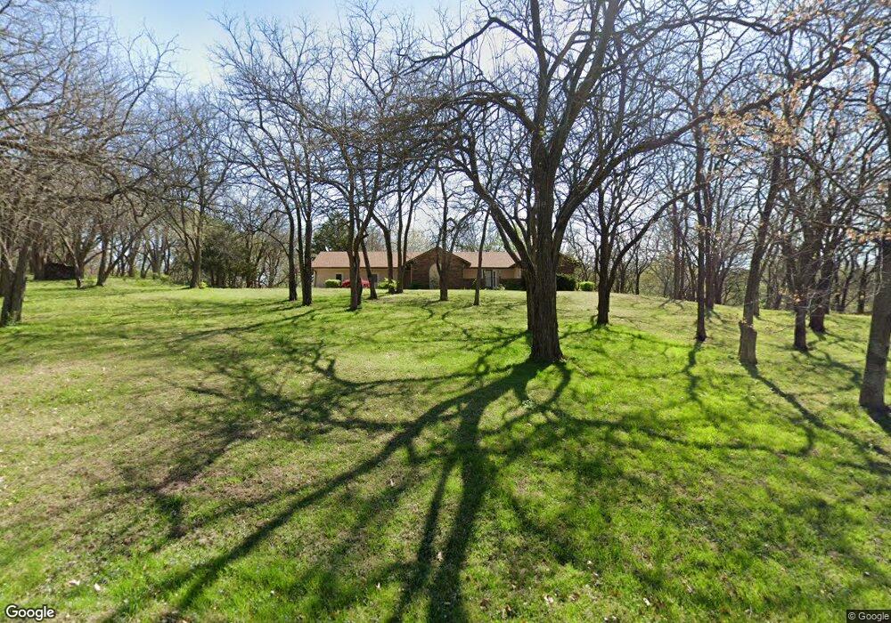
5605 Briarwood Ct Saint Joseph, MO 64503
Estimated Value: $309,000 - $404,000
--
Bed
--
Bath
1,768
Sq Ft
$201/Sq Ft
Est. Value
About This Home
This home is located at 5605 Briarwood Ct, Saint Joseph, MO 64503 and is currently estimated at $354,775, approximately $200 per square foot. 5605 Briarwood Ct is a home located in Buchanan County with nearby schools including Pickett Elementary School, Truman Middle School, and Central High School.
Ownership History
Date
Name
Owned For
Owner Type
Purchase Details
Closed on
Aug 10, 2008
Sold by
Gates Stefania L and Liber Stefania L
Bought by
Gates Ronald W
Current Estimated Value
Purchase Details
Closed on
Oct 25, 2007
Sold by
Dark Joseph E and Dark Marta J
Bought by
Gates Ronald W and Gates Stefania L
Home Financials for this Owner
Home Financials are based on the most recent Mortgage that was taken out on this home.
Original Mortgage
$190,000
Interest Rate
6.42%
Mortgage Type
New Conventional
Create a Home Valuation Report for This Property
The Home Valuation Report is an in-depth analysis detailing your home's value as well as a comparison with similar homes in the area
Home Values in the Area
Average Home Value in this Area
Purchase History
| Date | Buyer | Sale Price | Title Company |
|---|---|---|---|
| Gates Ronald W | -- | First American Hall Abstract | |
| Gates Ronald W | -- | First American Hall Abstract |
Source: Public Records
Mortgage History
| Date | Status | Borrower | Loan Amount |
|---|---|---|---|
| Previous Owner | Gates Ronald W | $190,000 |
Source: Public Records
Tax History Compared to Growth
Tax History
| Year | Tax Paid | Tax Assessment Tax Assessment Total Assessment is a certain percentage of the fair market value that is determined by local assessors to be the total taxable value of land and additions on the property. | Land | Improvement |
|---|---|---|---|---|
| 2024 | $2,501 | $35,720 | $5,700 | $30,020 |
| 2023 | $2,501 | $35,720 | $5,700 | $30,020 |
| 2022 | $2,315 | $35,720 | $5,700 | $30,020 |
| 2021 | $2,326 | $35,720 | $5,700 | $30,020 |
| 2020 | $2,316 | $35,720 | $5,700 | $30,020 |
| 2019 | $2,278 | $35,720 | $5,700 | $30,020 |
| 2018 | $2,052 | $35,720 | $5,700 | $30,020 |
| 2017 | $2,033 | $35,720 | $0 | $0 |
| 2015 | $2 | $38,950 | $0 | $0 |
| 2014 | $2,458 | $38,950 | $0 | $0 |
Source: Public Records
Map
Nearby Homes
- 39 Mackenzie Dr
- 3814 Meadow Oak Ln
- 3906 Vera Ln
- 0 Commonwealth Ct
- 7577 & 7579 SE 169 Hwy
- 2930 SE Mason Rd
- 4807 N Creek Wood Dr
- 5208 Stoneridge Dr
- 5672 SE State Route Ff
- 4816 N Creek Wood Dr
- 2713 Meadow Ridge Dr
- 4907 S Creek Wood Dr
- 2711 Meadow Ridge Dr
- 4909 S Creek Wood Dr
- 0 Pear St
- 3200 Pear St
- 2704 Meadow Ridge Dr
- 3305 S 33rd Terrace
- 5802 Steven Dr
- 2908 Pear St
- 5502 S 37th Terrace
- 5508 S 37th Terrace
- 5705 Briarwood Ct
- 5505 Briarwood Ct
- 5418 S 37th Terrace
- 5416 S 37th Terrace
- 5510 S 37th Terrace
- 5410 S 37th Terrace
- 5505 S 37th Terrace
- 5514 S 37th Terrace
- 5501 S 37th Terrace
- 5507 Osage Dr
- 5417 S 37th Terrace
- 5605 Osage Dr
- 5509 S 37th Terrace
- 5406 S 37th Terrace
- 5705 Osage Dr
- 5411 Osage Dr
- 5413 S 37th Terrace
- 5513 S 37th Terrace