5605 Channel Walk Ln Wilmington, NC 28409
Estimated Value: $1,268,000 - $1,648,000
4
Beds
4
Baths
4,029
Sq Ft
$365/Sq Ft
Est. Value
About This Home
This home is located at 5605 Channel Walk Ln, Wilmington, NC 28409 and is currently estimated at $1,470,010, approximately $364 per square foot. 5605 Channel Walk Ln is a home with nearby schools including Heyward C. Bellamy Elementary School, Myrtle Grove Middle School, and Eugene Ashley High School.
Ownership History
Date
Name
Owned For
Owner Type
Purchase Details
Closed on
Feb 2, 2016
Sold by
Sel Property Investors Llc
Bought by
Donner Brian L and Donner Susan L
Current Estimated Value
Home Financials for this Owner
Home Financials are based on the most recent Mortgage that was taken out on this home.
Original Mortgage
$187,000
Outstanding Balance
$149,218
Interest Rate
3.98%
Mortgage Type
Commercial
Estimated Equity
$1,320,792
Create a Home Valuation Report for This Property
The Home Valuation Report is an in-depth analysis detailing your home's value as well as a comparison with similar homes in the area
Home Values in the Area
Average Home Value in this Area
Purchase History
| Date | Buyer | Sale Price | Title Company |
|---|---|---|---|
| Donner Brian L | $220,000 | None Available |
Source: Public Records
Mortgage History
| Date | Status | Borrower | Loan Amount |
|---|---|---|---|
| Open | Donner Brian L | $187,000 |
Source: Public Records
Tax History Compared to Growth
Tax History
| Year | Tax Paid | Tax Assessment Tax Assessment Total Assessment is a certain percentage of the fair market value that is determined by local assessors to be the total taxable value of land and additions on the property. | Land | Improvement |
|---|---|---|---|---|
| 2025 | $5,403 | $1,414,000 | $300,900 | $1,113,100 |
| 2024 | $4,213 | $796,600 | $300,300 | $496,300 |
| 2023 | $4,213 | $796,600 | $300,300 | $496,300 |
| 2022 | $4,249 | $796,600 | $300,300 | $496,300 |
| 2021 | $4,370 | $796,600 | $300,300 | $496,300 |
| 2020 | $4,282 | $677,000 | $247,500 | $429,500 |
| 2019 | $4,282 | $677,000 | $247,500 | $429,500 |
| 2018 | $4,282 | $677,000 | $247,500 | $429,500 |
| 2017 | $3,407 | $526,100 | $247,500 | $278,600 |
| 2016 | $1,386 | $200,000 | $200,000 | $0 |
Source: Public Records
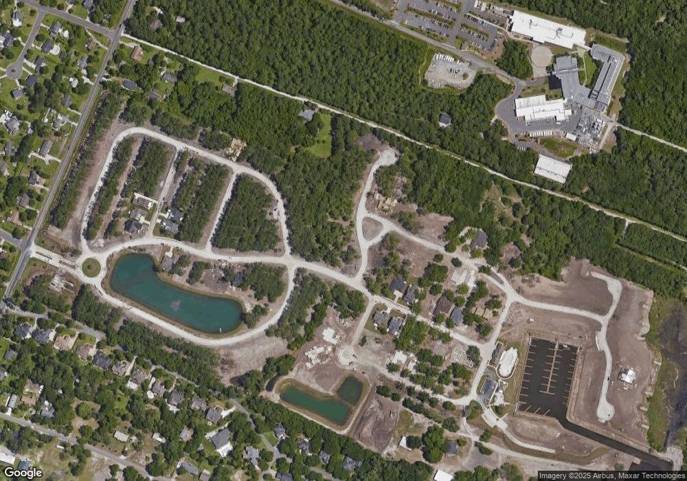
Map
Nearby Homes
- 5010 Dockside Dr
- 5205 Helms Port Ave
- 5017 Dockside Dr
- 5418 Saltwater Run
- 5353 Leisure Cir
- 5225 Leisure Cir
- 5014 Helms Port Ave
- 4953 Coronado Dr
- 141 Southwold Dr
- 234 Brighton Rd
- 222 Sea Gull Ln
- 5103 Long Pointe Rd
- 5235 Crosswinds Dr
- 273 Foxwood Ln
- 301 Foxwood Ln
- 4641 Masonboro Loop Rd
- 5618 Pinecone Place
- 5004 Laurenbridge Ln
- 5705 Woodduck Cir
- 4922 Woods Edge Rd
- 5609 Channel Walk Ln
- 5601 Channel Walk Ln
- 5613 Channel Walk Ln
- 5604 Channel Walk Ln
- 5608 Channel Walk Ln
- 5614 Channel Walk Ln
- 5293 Leisure Cir
- 5600 Channel Walk Ln
- 5617 Channel Walk Ln
- 5297 Leisure Cir
- 5005 Dockside Dr
- 5702 Reef Landing Way
- 5303 Leisure Cir
- 5201 Helms Port Ave
- 5009 Dockside Dr
- 5621 Channel Walk Ln
- 5307 Leisure Cir
- 5706 Reef Landing Way
- 5014 Dockside Dr
- 5285 Leisure Cir