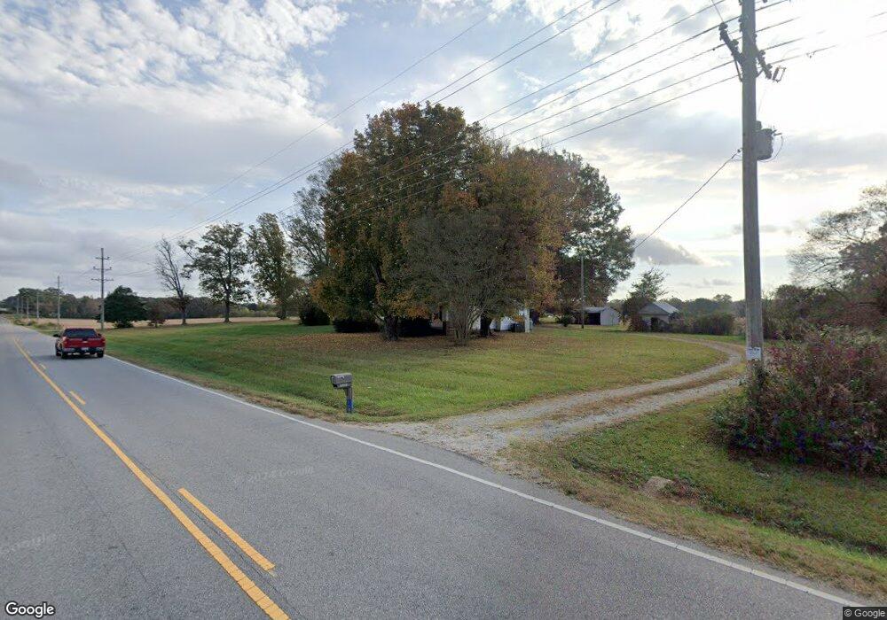
5605 Lancaster Hwy Monroe, NC 28112
Estimated Value: $341,000 - $816,100
3
Beds
1
Bath
1,274
Sq Ft
$403/Sq Ft
Est. Value
About This Home
This home is located at 5605 Lancaster Hwy, Monroe, NC 28112 and is currently estimated at $513,275, approximately $402 per square foot. 5605 Lancaster Hwy is a home with nearby schools including Prospect Elementary School, Parkwood Middle School, and Parkwood High School.
Ownership History
Date
Name
Owned For
Owner Type
Purchase Details
Closed on
Jun 3, 2016
Sold by
Moser Donald Wilson and The Allen Wilson Moser Revocab
Bought by
Couick Edwin S and Couick Carolyn H
Current Estimated Value
Home Financials for this Owner
Home Financials are based on the most recent Mortgage that was taken out on this home.
Original Mortgage
$264,704
Interest Rate
3.59%
Mortgage Type
Future Advance Clause Open End Mortgage
Purchase Details
Closed on
Feb 16, 2014
Sold by
Moser Allen W and Wife Christine B
Bought by
Moser Allen W Heirs
Create a Home Valuation Report for This Property
The Home Valuation Report is an in-depth analysis detailing your home's value as well as a comparison with similar homes in the area
Home Values in the Area
Average Home Value in this Area
Purchase History
| Date | Buyer | Sale Price | Title Company |
|---|---|---|---|
| Couick Edwin S | $854,000 | None Available | |
| Moser Allen W Heirs | -- | -- |
Source: Public Records
Mortgage History
| Date | Status | Borrower | Loan Amount |
|---|---|---|---|
| Closed | Couick Edwin S | $264,704 |
Source: Public Records
Tax History Compared to Growth
Tax History
| Year | Tax Paid | Tax Assessment Tax Assessment Total Assessment is a certain percentage of the fair market value that is determined by local assessors to be the total taxable value of land and additions on the property. | Land | Improvement |
|---|---|---|---|---|
| 2024 | $990 | $433,300 | $315,700 | $117,600 |
| 2023 | $976 | $433,300 | $315,700 | $117,600 |
| 2022 | $976 | $433,300 | $315,700 | $117,600 |
| 2021 | $957 | $431,200 | $315,700 | $115,500 |
| 2020 | $841 | $384,620 | $309,720 | $74,900 |
| 2019 | $857 | $384,620 | $309,720 | $74,900 |
| 2018 | $857 | $384,620 | $309,720 | $74,900 |
| 2017 | $913 | $384,600 | $309,700 | $74,900 |
| 2016 | $883 | $384,620 | $309,720 | $74,900 |
| 2015 | $898 | $384,620 | $309,720 | $74,900 |
| 2014 | $869 | $125,250 | $55,620 | $69,630 |
Source: Public Records
Map
Nearby Homes
- 5200 Lancaster Hwy
- 3303 Reid Cir
- 4805 Nesbit Rd
- 5106 Pond Bluff Dr
- 5903 Griffith Rd
- 3624 Crow Rd
- 5313 Old Highway Rd
- 6419 Lancaster Hwy Unit 9, 19
- 5101 Garden Gate Dr
- 4105 Parkwood School Rd
- 0 Parkwood School Rd
- 0 Nesbit Rd Unit CAR4290917
- 4114 Mcmanus Rd Unit 1p
- 4120 Mcmanus Rd
- 106 Serenity Creek Dr
- 110 Serenity Creek Dr
- 5714 Tipton Rd
- 5904 Nesbit Rd
- 5624 Tipton Rd
- 5630 Tipton Rd
- 5602 Lancaster Hwy
- 5608 Lancaster Hwy
- 5706 Lancaster Hwy
- 3119 Parkwood School Rd
- 4416 S Rocky River Rd
- 5710 Lancaster Hwy
- 3116 Parkwood School Rd
- 5313 Stonewood Dr
- 5312 Stonewood Dr
- 3106 Parkwood School Rd
- Tract5 Parkwood School Rd
- 3321 Parkwood School Rd
- 5306 Stonewood Dr
- 5318 Lancaster Hwy
- 4304 Deerfield Dr
- 4300 Deerfield Dr
- 4308 Deerfield Dr
- 5315 Lancaster Hwy
- 3025 Hwy 207 None
- 5302 Stonewood Dr