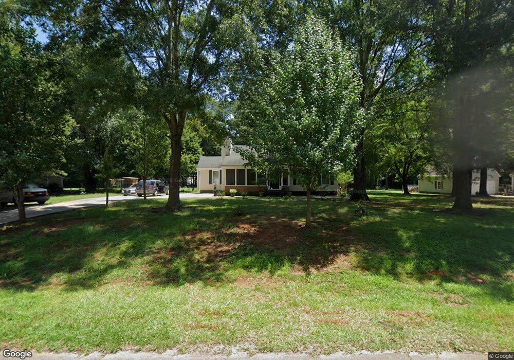
5605 Soft Wind Dr Fuquay Varina, NC 27526
Estimated Value: $311,000 - $352,000
3
Beds
2
Baths
1,539
Sq Ft
$220/Sq Ft
Est. Value
About This Home
This home is located at 5605 Soft Wind Dr, Fuquay Varina, NC 27526 and is currently estimated at $339,143, approximately $220 per square foot. 5605 Soft Wind Dr is a home located in Wake County with nearby schools including Banks Road Elementary School and West Lake Middle.
Ownership History
Date
Name
Owned For
Owner Type
Purchase Details
Closed on
Nov 23, 2021
Sold by
Ali Paula and Ali Christopher J
Bought by
Ali Paula and Ali Christopher Z
Current Estimated Value
Purchase Details
Closed on
Aug 22, 2005
Sold by
Prince Georgette Stark and Prince Michael Anthony
Bought by
Brown Donna and Ali Paula
Home Financials for this Owner
Home Financials are based on the most recent Mortgage that was taken out on this home.
Original Mortgage
$43,000
Interest Rate
5.22%
Mortgage Type
Fannie Mae Freddie Mac
Create a Home Valuation Report for This Property
The Home Valuation Report is an in-depth analysis detailing your home's value as well as a comparison with similar homes in the area
Home Values in the Area
Average Home Value in this Area
Purchase History
| Date | Buyer | Sale Price | Title Company |
|---|---|---|---|
| Ali Paula | -- | None Available | |
| Ali Paula | -- | None Listed On Document | |
| Brown Donna | $123,000 | None Available |
Source: Public Records
Mortgage History
| Date | Status | Borrower | Loan Amount |
|---|---|---|---|
| Previous Owner | Brown Donna | $43,000 |
Source: Public Records
Tax History Compared to Growth
Tax History
| Year | Tax Paid | Tax Assessment Tax Assessment Total Assessment is a certain percentage of the fair market value that is determined by local assessors to be the total taxable value of land and additions on the property. | Land | Improvement |
|---|---|---|---|---|
| 2025 | $1,855 | $286,870 | $85,000 | $201,870 |
| 2024 | $1,801 | $286,870 | $85,000 | $201,870 |
| 2023 | $1,616 | $204,719 | $58,000 | $146,719 |
| 2022 | $1,498 | $204,719 | $58,000 | $146,719 |
| 2021 | $1,459 | $204,719 | $58,000 | $146,719 |
| 2020 | $1,435 | $204,719 | $58,000 | $146,719 |
| 2019 | $1,282 | $154,464 | $48,000 | $106,464 |
| 2018 | $1,179 | $154,464 | $48,000 | $106,464 |
| 2017 | $1,118 | $154,464 | $48,000 | $106,464 |
| 2016 | $1,096 | $154,464 | $48,000 | $106,464 |
| 2015 | $1,097 | $155,045 | $48,000 | $107,045 |
| 2014 | $740 | $155,045 | $48,000 | $107,045 |
Source: Public Records
Map
Nearby Homes
- 3324 Air Park Rd
- 2312 Brasswynd Ct
- 1601 Malcus Ct Unit 65
- 6208 Silver Spring Ct
- 1320 Taylor Farm Rd
- 5817 Shedd Dr
- 3320 Highgate Rd
- 1813 Middle Ridge Dr
- 6125 Willow Crest Ln
- 9045 Chelsea Dr
- 4012 Sorrell Brothers Ct
- 9008 Chelsea Dr
- 6112 Walnut Glen Dr
- 4313 Darius Ln
- 1504 Malcus Ct Unit 52
- 4313 Darius Ln Unit 25
- 4400 Emeline Way Unit 36
- 4301 Emeline Way Unit 15
- 1401 Malcus Ct Unit 58
- 3205 Banks Rd
- 5609 Soft Wind Dr
- 5601 Soft Wind Dr
- 5608 Soft Wind Dr
- 5613 Soft Wind Dr
- 5604 Soft Wind Dr
- 5612 Soft Wind Dr
- 3337 Air Park Rd Unit 3
- 3337 Air Park Rd Unit 1
- 3337 Air Park Rd
- 3337 Air Park Rd Unit 2
- 3337 Air Park Rd
- 5600 Soft Wind Dr
- 5616 Soft Wind Dr
- 5617 Soft Wind Dr
- 3433 Air Park Rd
- 2115 Stonewall Farms Dr
- 2115 Stonewall Farms Dr Unit 9
- 2111 Stonewall Farms Dr
- 3333 Air Park Rd
- 2107 Stonewall Farms Dr