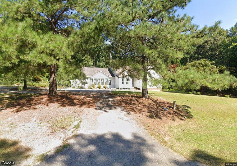
5605 Stuarts Ridge Rd Wake Forest, NC 27587
Estimated Value: $322,000 - $445,000
3
Beds
2
Baths
1,503
Sq Ft
$268/Sq Ft
Est. Value
About This Home
This home is located at 5605 Stuarts Ridge Rd, Wake Forest, NC 27587 and is currently estimated at $402,365, approximately $267 per square foot. 5605 Stuarts Ridge Rd is a home located in Wake County with nearby schools including Sanford Creek Elementary School, Rolesville Middle School, and Rolesville High School.
Ownership History
Date
Name
Owned For
Owner Type
Purchase Details
Closed on
May 5, 2006
Sold by
Corsi Christopher and Bland Raquel
Bought by
Bland Raquel
Current Estimated Value
Home Financials for this Owner
Home Financials are based on the most recent Mortgage that was taken out on this home.
Original Mortgage
$125,500
Outstanding Balance
$72,393
Interest Rate
6.33%
Mortgage Type
New Conventional
Estimated Equity
$329,972
Purchase Details
Closed on
Mar 28, 2002
Sold by
Pedersen David J and Pedersen Denise A
Bought by
Corsi Christopher and Bland Raquel
Home Financials for this Owner
Home Financials are based on the most recent Mortgage that was taken out on this home.
Original Mortgage
$124,000
Interest Rate
6.8%
Create a Home Valuation Report for This Property
The Home Valuation Report is an in-depth analysis detailing your home's value as well as a comparison with similar homes in the area
Home Values in the Area
Average Home Value in this Area
Purchase History
| Date | Buyer | Sale Price | Title Company |
|---|---|---|---|
| Bland Raquel | -- | None Available | |
| Corsi Christopher | $124,000 | -- |
Source: Public Records
Mortgage History
| Date | Status | Borrower | Loan Amount |
|---|---|---|---|
| Open | Bland Raquel | $125,500 | |
| Closed | Corsi Christopher | $124,000 |
Source: Public Records
Tax History Compared to Growth
Tax History
| Year | Tax Paid | Tax Assessment Tax Assessment Total Assessment is a certain percentage of the fair market value that is determined by local assessors to be the total taxable value of land and additions on the property. | Land | Improvement |
|---|---|---|---|---|
| 2025 | -- | $364,833 | $90,000 | $274,833 |
| 2024 | $2,286 | $364,833 | $90,000 | $274,833 |
| 2023 | $1,844 | $233,958 | $40,000 | $193,958 |
| 2022 | $1,710 | $233,958 | $40,000 | $193,958 |
| 2021 | $0 | $233,958 | $40,000 | $193,958 |
| 2020 | $1,342 | $191,329 | $40,000 | $151,329 |
| 2019 | $1,488 | $179,769 | $65,000 | $114,769 |
| 2018 | $1,369 | $179,769 | $65,000 | $114,769 |
| 2017 | $1,298 | $179,769 | $65,000 | $114,769 |
| 2016 | $1,272 | $179,769 | $65,000 | $114,769 |
| 2015 | $1,172 | $165,811 | $50,000 | $115,811 |
| 2014 | $1,111 | $165,811 | $50,000 | $115,811 |
Source: Public Records
Map
Nearby Homes
- 5728 Stuarts Ridge Rd
- 6404 Pulley Town Rd
- 11633 Louisburg Rd
- 6509 Zebulon Rd
- 4621 N Fork Dr
- 6733 Oscar Barham Rd
- 7001 Barham Hollow Dr
- 3216 Quarry Rd
- 1125 Dartford Green Place
- 207 Weathers St
- 236 Lily Oak Dr
- 1237 Solace Way
- 1229 Solace Way
- Odyssey Plan at The Point
- Athena Plan at The Point
- Apollo Plan at The Point
- Magellan Plan at The Point
- Discovery Plan at The Point
- Voyager Plan at The Point
- 1213 Solace Way
- 5504 Thornburg Dr
- 5601 Stuarts Ridge Rd
- 5508 Thornburg Dr
- LOT 53 Thornburg Dr
- LOT 46 Thornburg Dr
- LOT 52 Thornburg Dr
- LOT 65 Thornburg Dr
- LOT 42 Thornburg Dr
- LOT 64 Thornburg Dr
- LOT 63 Thornburg Dr
- LOT 51 Thornburg Dr
- LOT 47 Thornburg Dr
- LOT 59 Thornburg Dr
- LOT 45 Thornburg Dr
- LOT 48 Thornburg Dr
- LOT44 Thornburg Dr
- LOT 49 Thornburg Dr
- LOT 54 Thornburg Dr
- LOT 57 Thornburg Dr
- LOT 55 Thornburg Dr