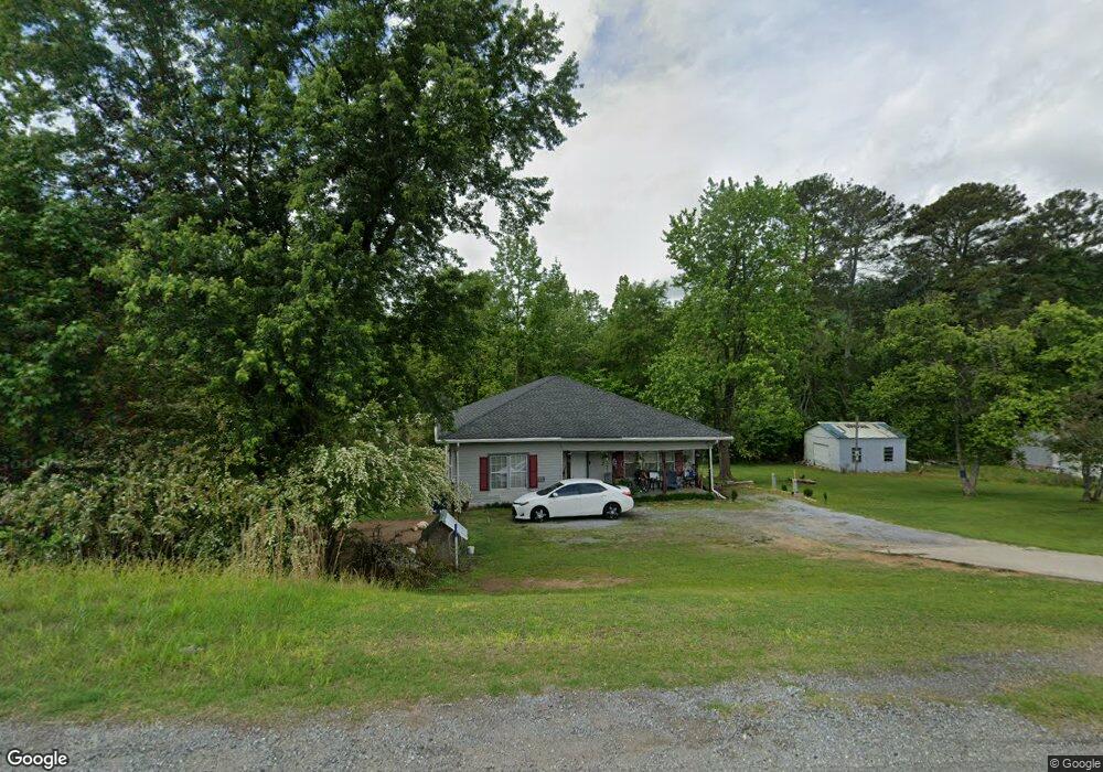
56051 Us Highway 231 Oneonta, AL 35121
Estimated Value: $78,000 - $221,000
--
Bed
--
Bath
1,376
Sq Ft
$104/Sq Ft
Est. Value
About This Home
This home is located at 56051 Us Highway 231, Oneonta, AL 35121 and is currently estimated at $142,961, approximately $103 per square foot. 56051 Us Highway 231 is a home located in Blount County with nearby schools including Oneonta Elementary School, Oneonta Middle School, and Oneonta High School.
Ownership History
Date
Name
Owned For
Owner Type
Purchase Details
Closed on
Jun 29, 2022
Sold by
Opal Kendrick
Bought by
Ginn Lofton
Current Estimated Value
Home Financials for this Owner
Home Financials are based on the most recent Mortgage that was taken out on this home.
Original Mortgage
$50,461
Outstanding Balance
$48,012
Interest Rate
5.1%
Mortgage Type
New Conventional
Estimated Equity
$94,949
Purchase Details
Closed on
Aug 12, 2009
Sold by
Kendrick Opal
Bought by
Kendrick James Larry
Create a Home Valuation Report for This Property
The Home Valuation Report is an in-depth analysis detailing your home's value as well as a comparison with similar homes in the area
Home Values in the Area
Average Home Value in this Area
Purchase History
| Date | Buyer | Sale Price | Title Company |
|---|---|---|---|
| Ginn Lofton | $50,461 | Stewart & Associates Pc | |
| Kendrick James Larry | -- | -- |
Source: Public Records
Mortgage History
| Date | Status | Borrower | Loan Amount |
|---|---|---|---|
| Open | Ginn Lofton | $50,461 |
Source: Public Records
Tax History Compared to Growth
Tax History
| Year | Tax Paid | Tax Assessment Tax Assessment Total Assessment is a certain percentage of the fair market value that is determined by local assessors to be the total taxable value of land and additions on the property. | Land | Improvement |
|---|---|---|---|---|
| 2024 | -- | $7,040 | $740 | $6,300 |
| 2023 | $0 | $6,520 | $740 | $5,780 |
| 2022 | $355 | $7,880 | $980 | $6,900 |
| 2021 | $263 | $5,840 | $600 | $5,240 |
| 2020 | $267 | $5,760 | $600 | $5,160 |
| 2019 | $266 | $5,920 | $760 | $5,160 |
| 2018 | $485 | $10,780 | $760 | $10,020 |
| 2017 | $428 | $9,520 | $0 | $0 |
| 2015 | -- | $5,240 | $0 | $0 |
| 2014 | -- | $5,240 | $0 | $0 |
| 2013 | -- | $4,980 | $0 | $0 |
Source: Public Records
Map
Nearby Homes
- 56304 Us Hwy 231
- 1755 Easley Bridge Rd
- 40 Chert Rd
- 0 Mountain Brow Dr Unit 24577623
- 0 Mountain Brow Dr Unit 17.35+/- Acres
- 65 Dogwood Dr
- 531 6th Ave E
- 100 5th Ave E
- 400 4th Ave E
- 106 4th Ave E
- 805 4th Ave E
- 500 4th Ave E
- 302 3rd St N
- 805 Cotton Ave
- 300 3rd Ave W
- 307 C St N
- 0 U S 231 Unit 20937523
- 0 U S 231 Unit 20805091
- 0 U S 231 Unit 20804303
- 0 U S 231 Unit 102+/- Ac 21390285
- 56051 U S 231
- 56009 Us Highway 231
- 56125 Us Highway 231
- 56125 Us Highway 231
- 56171 Us Highway 231
- 56125 U S 231
- 61 Wheezy Way
- 61 Wheezy Way
- 56036 Us Highway 231
- 50 Wheezy Way
- 39 Price Ln
- 39 Price Ln Unit 5.6 ac
- 35 Price Ln
- 55874 Us Highway 231
- 55874 Us Highway 231
- 56230 Us Highway 231
- 56230 Us Highway 231
- 25 Price Ln
- 550 Patton Rd
- 71 Price Ln