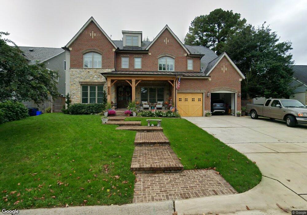
5608 Parkston Rd Bethesda, MD 20816
Westwood NeighborhoodEstimated Value: $2,348,000 - $2,997,318
--
Bed
2
Baths
4,752
Sq Ft
$559/Sq Ft
Est. Value
About This Home
This home is located at 5608 Parkston Rd, Bethesda, MD 20816 and is currently estimated at $2,654,773, approximately $558 per square foot. 5608 Parkston Rd is a home located in Montgomery County with nearby schools including Wood Acres Elementary School, Marion Elementary School, and Thomas W. Pyle Middle School.
Ownership History
Date
Name
Owned For
Owner Type
Purchase Details
Closed on
Nov 25, 2019
Sold by
Lawson Sandra Lee
Bought by
Santos Annette M and Santos Antonio M
Current Estimated Value
Home Financials for this Owner
Home Financials are based on the most recent Mortgage that was taken out on this home.
Original Mortgage
$590,000
Outstanding Balance
$521,186
Interest Rate
3.7%
Mortgage Type
New Conventional
Estimated Equity
$2,133,587
Purchase Details
Closed on
Nov 12, 1998
Sold by
Richards Lloyd E and Richards M S
Bought by
Lloyd E Richards Tr
Create a Home Valuation Report for This Property
The Home Valuation Report is an in-depth analysis detailing your home's value as well as a comparison with similar homes in the area
Home Values in the Area
Average Home Value in this Area
Purchase History
| Date | Buyer | Sale Price | Title Company |
|---|---|---|---|
| Santos Annette M | $790,000 | Tradition Ttl Llc T A Rgs Tt | |
| Lloyd E Richards Tr | -- | -- |
Source: Public Records
Mortgage History
| Date | Status | Borrower | Loan Amount |
|---|---|---|---|
| Open | Santos Annette M | $590,000 |
Source: Public Records
Tax History Compared to Growth
Tax History
| Year | Tax Paid | Tax Assessment Tax Assessment Total Assessment is a certain percentage of the fair market value that is determined by local assessors to be the total taxable value of land and additions on the property. | Land | Improvement |
|---|---|---|---|---|
| 2025 | $28,783 | $2,552,500 | $689,500 | $1,863,000 |
| 2024 | $28,783 | $2,401,633 | $0 | $0 |
| 2023 | $26,349 | $2,250,767 | $0 | $0 |
| 2022 | $23,538 | $2,099,900 | $626,900 | $1,473,000 |
| 2021 | $13,255 | $616,933 | $0 | $0 |
| 2020 | $8,165 | $752,633 | $0 | $0 |
| 2019 | $8,039 | $744,600 | $597,000 | $147,600 |
| 2018 | $8,023 | $744,600 | $597,000 | $147,600 |
| 2017 | $8,473 | $744,600 | $0 | $0 |
| 2016 | -- | $756,100 | $0 | $0 |
| 2015 | $6,456 | $712,733 | $0 | $0 |
| 2014 | $6,456 | $669,367 | $0 | $0 |
Source: Public Records
Map
Nearby Homes
- 5811 Ridgefield Rd
- 6413 Garnett Dr
- 5715 Massachusetts Ave
- 5348 Zenith Overlook
- 5420 Goshawk Aly
- 5900 Kennedy Dr
- 5612 Namakagan Rd
- 5116 Lawton Dr
- 5100 Dorset Ave Unit 111
- 5505 Pembroke Terrace
- 5117 Willet Bridge Rd
- 5101 River Rd Unit 1904
- 5101 River Rd
- 5101 River Rd Unit 1511
- 5101 River Rd Unit 907
- 5013 Nahant St
- 5510 Brite Dr
- 5700 Tanglewood Dr
- 4911 Falstone Ave
- 5311 Allandale Rd
- 5715 Ogden Rd
- 5604 Parkston Rd
- 5717 Ogden Rd
- 5612 Parkston Rd
- 5711 Ogden Rd
- 5609 Parkston Rd
- 5719 Ogden Rd
- 5709 Ogden Rd
- 5611 Parkston Rd
- 5607 Parkston Rd
- 5602 Parkston Rd
- 5614 Parkston Rd
- 5721 Ogden Rd
- 5613 Parkston Rd
- 5605 Parkston Rd
- 5707 Ogden Rd
- 5603 Parkston Rd
- 5723 Ogden Rd
- 5606 Pollard Rd
- 5705 Ogden Rd