Estimated Value: $642,865 - $853,000
3
Beds
2
Baths
1,688
Sq Ft
$425/Sq Ft
Est. Value
About This Home
This home is located at 56084 Browning Dr, Bend, OR 97707 and is currently estimated at $717,466, approximately $425 per square foot. 56084 Browning Dr is a home located in Deschutes County with nearby schools including Elk Meadow Elementary School, Cascade Middle School, and Summit High School.
Ownership History
Date
Name
Owned For
Owner Type
Purchase Details
Closed on
Nov 26, 2018
Sold by
North Gary T and North Rachel L North
Bought by
North Gary T
Current Estimated Value
Purchase Details
Closed on
Jan 24, 2011
Sold by
Mahaney Russell C and Mahaney Wendy D
Bought by
North Gary and North Rachel
Home Financials for this Owner
Home Financials are based on the most recent Mortgage that was taken out on this home.
Original Mortgage
$224,000
Outstanding Balance
$152,444
Interest Rate
4.82%
Mortgage Type
New Conventional
Estimated Equity
$565,022
Create a Home Valuation Report for This Property
The Home Valuation Report is an in-depth analysis detailing your home's value as well as a comparison with similar homes in the area
Home Values in the Area
Average Home Value in this Area
Purchase History
| Date | Buyer | Sale Price | Title Company |
|---|---|---|---|
| North Gary T | -- | None Available | |
| North Gary | $280,000 | First American Title |
Source: Public Records
Mortgage History
| Date | Status | Borrower | Loan Amount |
|---|---|---|---|
| Open | North Gary | $224,000 |
Source: Public Records
Tax History
| Year | Tax Paid | Tax Assessment Tax Assessment Total Assessment is a certain percentage of the fair market value that is determined by local assessors to be the total taxable value of land and additions on the property. | Land | Improvement |
|---|---|---|---|---|
| 2025 | $4,205 | $228,610 | -- | -- |
| 2024 | $4,036 | $221,960 | -- | -- |
| 2023 | $3,944 | $215,500 | $0 | $0 |
| 2022 | $3,525 | $203,140 | $0 | $0 |
| 2021 | $3,545 | $197,230 | $0 | $0 |
| 2020 | $3,368 | $197,230 | $0 | $0 |
| 2019 | $3,274 | $191,490 | $0 | $0 |
| 2018 | $3,180 | $185,920 | $0 | $0 |
| 2017 | $3,097 | $180,510 | $0 | $0 |
| 2016 | $2,957 | $175,260 | $0 | $0 |
| 2015 | $2,883 | $170,160 | $0 | $0 |
| 2014 | $2,795 | $165,210 | $0 | $0 |
Source: Public Records
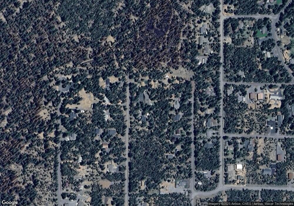
Map
Nearby Homes
- 55995 Browning Dr Unit 16
- 55975 Savage Rd
- 55970 Browning Dr
- 16810 Derringer Dr
- 17092 Island Loop Way
- 17008 Sharp Dr
- 56252 Comet Dr
- 55815 Lost Rider Loop
- 17135 Merced Rd Unit 6
- 17186 Milky Way
- 17183 Blue Heron Dr
- 17103 Laguna Rd
- 17219 Pasadena Rd
- 56019 Snow Goose Rd
- 16775 Pony Express Way
- 55967 Wood Duck Dr
- 56084 Snow Goose Ct
- 17255 Canvasback Dr
- 17109 Indio Rd
- 56058 Snow Goose Rd
- 56094 Browning Dr
- 56070 Browning Dr
- 56083 Savage Dr
- 56069 Savage Dr
- 56095 Savage Dr
- 56069 Savage Rd
- 56093 Browning Dr
- 56067 Browning Dr
- 56055 Savage Dr
- 56053 Browning Dr
- 56043 Savage Rd
- 56089 Gothard Way
- 56083 Gothard Way
- 56041 Browning Dr
- 56077 Gothard Way
- 56030 Browning Dr
- 56030 Browning Dr Unit 6
- 56071 Gothard Way
- 56111 Gothard Way
- 56096 Remington Dr
Your Personal Tour Guide
Ask me questions while you tour the home.