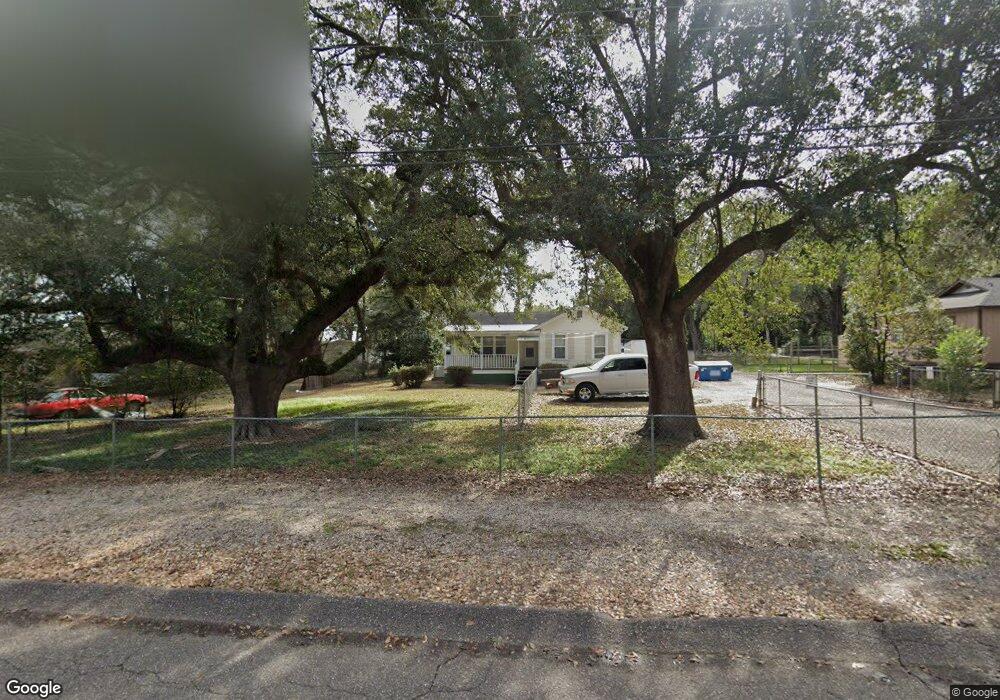
5609 Andrew Rd Mobile, AL 36619
Nevius NeighborhoodEstimated Value: $109,000 - $183,000
2
Beds
1
Bath
941
Sq Ft
$146/Sq Ft
Est. Value
About This Home
This home is located at 5609 Andrew Rd, Mobile, AL 36619 and is currently estimated at $137,738, approximately $146 per square foot. 5609 Andrew Rd is a home with nearby schools including WC Griggs Elementary School, Burns Middle School, and Theodore High School.
Ownership History
Date
Name
Owned For
Owner Type
Purchase Details
Closed on
Jun 28, 2001
Sold by
Pitts Michael J and Pitts Beverly H
Bought by
Allbritten Alan L and Scott David W
Current Estimated Value
Home Financials for this Owner
Home Financials are based on the most recent Mortgage that was taken out on this home.
Original Mortgage
$40,000
Interest Rate
7.09%
Mortgage Type
Seller Take Back
Create a Home Valuation Report for This Property
The Home Valuation Report is an in-depth analysis detailing your home's value as well as a comparison with similar homes in the area
Home Values in the Area
Average Home Value in this Area
Purchase History
| Date | Buyer | Sale Price | Title Company |
|---|---|---|---|
| Allbritten Alan L | $40,000 | -- |
Source: Public Records
Mortgage History
| Date | Status | Borrower | Loan Amount |
|---|---|---|---|
| Closed | Allbritten Alan L | $40,000 |
Source: Public Records
Tax History
| Year | Tax Paid | Tax Assessment Tax Assessment Total Assessment is a certain percentage of the fair market value that is determined by local assessors to be the total taxable value of land and additions on the property. | Land | Improvement |
|---|---|---|---|---|
| 2025 | $1,367 | $25,720 | $12,260 | $13,460 |
| 2024 | $1,367 | $10,620 | $3,000 | $7,620 |
| 2023 | $635 | $10,480 | $3,000 | $7,480 |
| 2022 | $476 | $9,820 | $3,000 | $6,820 |
| 2021 | $466 | $9,600 | $3,000 | $6,600 |
| 2020 | $466 | $9,600 | $3,000 | $6,600 |
| 2019 | $435 | $8,960 | $0 | $0 |
| 2018 | $435 | $8,960 | $0 | $0 |
| 2017 | $435 | $8,960 | $0 | $0 |
| 2016 | $441 | $9,100 | $0 | $0 |
| 2013 | $498 | $10,060 | $0 | $0 |
Source: Public Records
Map
Nearby Homes
- 5674 Nevius Rd
- 4630 General Rd
- 4800 Bush Ln
- 5480 Inn Rd
- 4314 Lumsden Battery Cir W
- 4244 Lumsden Battery Cir W
- 6116 General Lee Ave
- 5023 Freeway Ln
- 0 Higgins Rd Unit 153 371518
- 0 Higgins Rd Unit 7497709
- 0 Higgins Rd Unit 5 384060
- 0 Higgins Rd Unit 7634227
- 5015 Santos Dr W
- 5185 Santos Dr W
- 5084 Fairland Dr
- 5551 Springer Ct
- 5171 Fairland Dr
- 5024 Government Blvd
- 5413 Myrick Ct
- 3701 Arrington Dr
- 5619 Andrew Rd
- 5619 Andrews Rd
- 5591 Andrew Rd
- 5629 Andrew Rd
- 5629 Andrews Rd
- 5600 Andrew Rd Unit B
- 5600 Andrew Rd
- 5600 Andrews Rd
- 5570 Andrews Rd
- 5641 Andrews Rd
- 5618 Andrews Rd
- 5626 Jackson Rd
- 4615 Andrew Rd
- 5626 Andrews Rd
- 5636 Jackson Rd
- 5618 Jackson Rd
- 4670 Hermitage Rd
- 5638 Andrews Rd
- 5659 Andrew Rd
- 5659 Andrews Rd
Your Personal Tour Guide
Ask me questions while you tour the home.