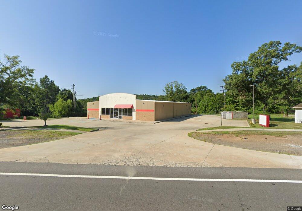
5609 Mac Arthur Dr North Little Rock, AR 72118
Amboy NeighborhoodEstimated Value: $1,369,560
--
Bed
1
Bath
8,400
Sq Ft
$163/Sq Ft
Est. Value
About This Home
This home is located at 5609 Mac Arthur Dr, North Little Rock, AR 72118 and is currently estimated at $1,369,560, approximately $163 per square foot. 5609 Mac Arthur Dr is a home located in Pulaski County with nearby schools including Amboy Elementary School, North Little Rock Middle School 6th Grade Campus, and North Little Rock High School.
Ownership History
Date
Name
Owned For
Owner Type
Purchase Details
Closed on
Jan 18, 2022
Sold by
Justin Reis Michael and Seed Jennifer
Bought by
1097 Super Llc
Current Estimated Value
Home Financials for this Owner
Home Financials are based on the most recent Mortgage that was taken out on this home.
Original Mortgage
$693,000
Outstanding Balance
$463,502
Interest Rate
3.11%
Mortgage Type
New Conventional
Estimated Equity
$906,058
Purchase Details
Closed on
Oct 5, 2018
Sold by
Mainstream Development Llc
Bought by
Reis Michael Justin and Reis Jennifer Seed
Home Financials for this Owner
Home Financials are based on the most recent Mortgage that was taken out on this home.
Original Mortgage
$640,250
Interest Rate
4.5%
Mortgage Type
Commercial
Create a Home Valuation Report for This Property
The Home Valuation Report is an in-depth analysis detailing your home's value as well as a comparison with similar homes in the area
Home Values in the Area
Average Home Value in this Area
Purchase History
| Date | Buyer | Sale Price | Title Company |
|---|---|---|---|
| 1097 Super Llc | $1,155,390 | William L Owen Pa | |
| Reis Michael Justin | $985,000 | None Available |
Source: Public Records
Mortgage History
| Date | Status | Borrower | Loan Amount |
|---|---|---|---|
| Open | 1097 Super Llc | $693,000 | |
| Previous Owner | Reis Michael Justin | $640,250 |
Source: Public Records
Tax History Compared to Growth
Tax History
| Year | Tax Paid | Tax Assessment Tax Assessment Total Assessment is a certain percentage of the fair market value that is determined by local assessors to be the total taxable value of land and additions on the property. | Land | Improvement |
|---|---|---|---|---|
| 2025 | $11,363 | $170,100 | $13,742 | $156,358 |
| 2024 | $11,363 | $170,100 | $13,742 | $156,358 |
| 2023 | $11,363 | $170,100 | $13,742 | $156,358 |
| 2022 | $10,716 | $170,100 | $13,742 | $156,358 |
| 2021 | $9,742 | $145,840 | $13,740 | $132,100 |
| 2020 | $9,742 | $145,840 | $13,740 | $132,100 |
| 2019 | $9,742 | $145,840 | $13,740 | $132,100 |
| 2018 | $918 | $29,510 | $13,740 | $15,770 |
Source: Public Records
Map
Nearby Homes
- 3017 Parkway Dr
- 5633 Sonora Dr
- 5700 & 5704 Sorenson
- 5613 Sonora Dr
- 5601 Sonora Dr
- 261 E Military Dr
- 2215 Coors Dr
- 47 Sunset Dr
- 2304 Ella Ct
- 7 Amber Ln
- 319 Wilson St
- 4920 Lee St
- 702 E Military Dr
- 139 Sunset Dr
- 409 Harper Ln
- 5709 Shamrock Dr
- 160 Sunset Dr
- 1900 Broken Arrow Dr
- 2500 North Dr
- 5612 Division St
- 5601 Mac Arthur Dr
- 3021 Parkway Dr
- 5700 Sonora Dr
- 5708 Sonora Dr
- 5708 Sonora Dr Unit s A & B
- 5708 Sonora Dr
- 5600 Macarthur Dr
- 0 Macarthur Dr Unit 20034897
- 0 Macarthur Dr Unit 15034181
- 0 Macarthur Dr Unit 15025344
- 0 Macarthur Dr Unit 16013883
- 0 Macarthur Dr Unit 17002750
- 0 Macarthur Dr Unit 17005686
- 0 Macarthur Dr Unit 17005682
- 0 Macarthur Dr Unit 17037045
- 0 Macarthur Dr Unit 18032289
- 0 Macarthur Dr Unit 19009663
- 0 Macarthur Dr Unit 19014561
- 0 Macarthur Dr Unit 19025973
- 5600 Mac Arthur Dr