Estimated Value: $165,000 - $332,504
3
Beds
2
Baths
1,901
Sq Ft
$128/Sq Ft
Est. Value
About This Home
This home is located at 5609 N Imo Rd, Enid, OK 73703 and is currently estimated at $244,168, approximately $128 per square foot. 5609 N Imo Rd is a home with nearby schools including Prairie View Elementary School, Dewitt Waller Middle School, and Enid High School.
Ownership History
Date
Name
Owned For
Owner Type
Purchase Details
Closed on
Dec 15, 2022
Sold by
Preston Janice R
Bought by
Janice Preston Trust
Current Estimated Value
Purchase Details
Closed on
Dec 6, 2022
Sold by
Opal C Bailey Trust
Bought by
Preston Janice R and Preston Leiph
Purchase Details
Closed on
May 25, 2005
Sold by
Luckert, Walter John Tr
Bought by
Preston Leiph
Purchase Details
Closed on
Oct 24, 1997
Sold by
Luckert Walter John Rev T
Bought by
Preston Janice
Create a Home Valuation Report for This Property
The Home Valuation Report is an in-depth analysis detailing your home's value as well as a comparison with similar homes in the area
Purchase History
| Date | Buyer | Sale Price | Title Company |
|---|---|---|---|
| Janice Preston Trust | -- | -- | |
| Preston Janice R | -- | -- | |
| Preston Janice R | -- | -- | |
| Preston Leiph | -- | -- | |
| Preston Janice | -- | -- |
Source: Public Records
Tax History
| Year | Tax Paid | Tax Assessment Tax Assessment Total Assessment is a certain percentage of the fair market value that is determined by local assessors to be the total taxable value of land and additions on the property. | Land | Improvement |
|---|---|---|---|---|
| 2025 | $1,582 | $14,684 | $6,342 | $8,342 |
| 2024 | $1,472 | $13,985 | $6,040 | $7,945 |
| 2023 | $1,402 | $13,319 | $5,961 | $7,358 |
| 2022 | $1,357 | $12,686 | $5,664 | $7,022 |
| 2021 | $1,285 | $12,081 | $5,331 | $6,750 |
| 2020 | $1,252 | $11,505 | $5,066 | $6,439 |
| 2019 | $1,140 | $10,958 | $5,645 | $5,313 |
| 2018 | $1,105 | $10,639 | $5,779 | $4,860 |
| 2017 | $1,065 | $10,329 | $5,614 | $4,715 |
| 2016 | $988 | $10,028 | $6,944 | $3,084 |
| 2015 | $980 | $10,028 | $6,944 | $3,084 |
| 2014 | $980 | $10,028 | $6,944 | $3,084 |
Source: Public Records
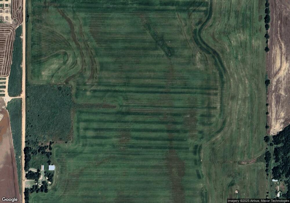
Map
Nearby Homes
- 6225 N Wheatridge Rd
- 6 Silver Meadow Ln
- 31 Oak Bridge Ln
- 4 Bridge Creek
- 33 Oak Bridge Ln
- 21 Oak Bridge Ln
- 18 Oak Bridge Ln
- 2 Oak Bridge Ln
- 10 Oak Bridge Ln
- 6 Oak Bridge Ln
- 6200 N Garland Rd
- 621 N Wheatridge Rd
- 5813 Autumn Orchard Rd
- 29 Wilderness Rd
- Lake Hellums Garland Rd
- 9 National Rd
- 52 Old Post Ln
- 33 Old Post Ln
- 3628 Open Range St
- 3615 Scarlet Ln
- 1910 W Garriott Unit 526 S Johnson
- 9 Willow Bridge Ln
- 11 Willow Bridge Ln
- 7 Willow Bridge Ln
- 1910 W Garriott
- 5 Willow Bridge Ln
- 2800 E Broadway
- 0 W Phillips Ave
- 7709 W Carrier Rd
- 6726 N Imo Rd
- 7113 W Carrier Rd
- 5104 N Wheatridge Rd
- 20 Silver Meadow Ln
- 18 Thousand Oaks
- 14 Thousand Oaks
- 1 Thousand Oaks
- 11 Silver Meadow Ln
- 4722 N Wheatridge Rd
- 3 Silver Meadow Ln
- 16 Thousand Oaks
Your Personal Tour Guide
Ask me questions while you tour the home.