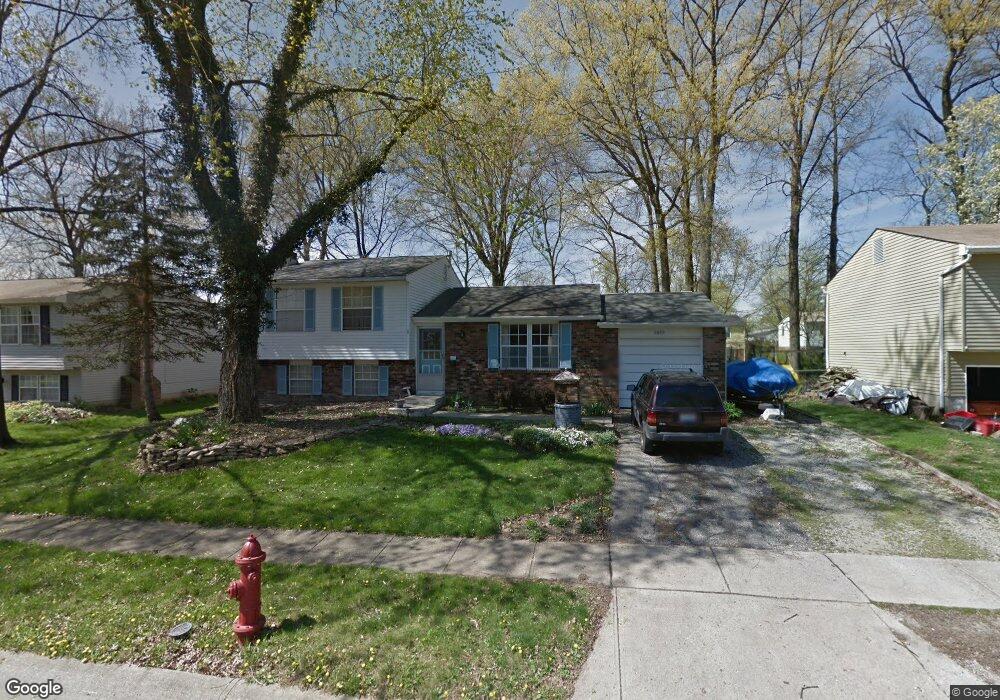
5609 Spohn Dr Westerville, OH 43081
Estimated Value: $281,000 - $314,000
3
Beds
2
Baths
1,080
Sq Ft
$271/Sq Ft
Est. Value
About This Home
This home is located at 5609 Spohn Dr, Westerville, OH 43081 and is currently estimated at $293,115, approximately $271 per square foot. 5609 Spohn Dr is a home located in Franklin County with nearby schools including Huber Ridge Elementary School, Walnut Springs Middle School, and Westerville Central High School.
Ownership History
Date
Name
Owned For
Owner Type
Purchase Details
Closed on
Sep 19, 2017
Sold by
Garrett Steven R
Bought by
Dowdle Jon and Dowdle Autumn M
Current Estimated Value
Home Financials for this Owner
Home Financials are based on the most recent Mortgage that was taken out on this home.
Original Mortgage
$101,250
Outstanding Balance
$83,736
Interest Rate
3.9%
Mortgage Type
New Conventional
Estimated Equity
$209,379
Purchase Details
Closed on
Mar 19, 1986
Bought by
Garrett Steven R
Create a Home Valuation Report for This Property
The Home Valuation Report is an in-depth analysis detailing your home's value as well as a comparison with similar homes in the area
Home Values in the Area
Average Home Value in this Area
Purchase History
| Date | Buyer | Sale Price | Title Company |
|---|---|---|---|
| Dowdle Jon | $135,000 | None Available | |
| Garrett Steven R | -- | None Available | |
| Garrett Steven R | $61,500 | -- |
Source: Public Records
Mortgage History
| Date | Status | Borrower | Loan Amount |
|---|---|---|---|
| Open | Dowdle Jon | $101,250 |
Source: Public Records
Tax History
| Year | Tax Paid | Tax Assessment Tax Assessment Total Assessment is a certain percentage of the fair market value that is determined by local assessors to be the total taxable value of land and additions on the property. | Land | Improvement |
|---|---|---|---|---|
| 2025 | $4,992 | $79,240 | $21,630 | $57,610 |
| 2024 | $4,992 | $79,240 | $21,630 | $57,610 |
| 2023 | $4,888 | $79,240 | $21,630 | $57,610 |
| 2022 | $4,738 | $57,400 | $11,480 | $45,920 |
| 2021 | $4,770 | $57,400 | $11,480 | $45,920 |
| 2020 | $4,766 | $57,400 | $11,480 | $45,920 |
| 2019 | $3,958 | $43,650 | $11,480 | $32,170 |
| 2018 | $1,905 | $43,650 | $11,480 | $32,170 |
| 2017 | $3,817 | $43,650 | $11,480 | $32,170 |
| 2016 | $3,936 | $41,860 | $9,310 | $32,550 |
| 2015 | $1,864 | $41,860 | $9,310 | $32,550 |
| 2014 | $3,729 | $41,860 | $9,310 | $32,550 |
| 2013 | $1,814 | $41,860 | $9,310 | $32,550 |
Source: Public Records
Map
Nearby Homes
- 3695 Santiago Dr
- 5660 Buenos Aires Blvd
- 3629 Stockholm Rd
- 3661 Paris Blvd
- 3678 Paris Blvd
- 3627 Manila Dr
- 3509 Canberra Ct
- 5226 Spring Beauty Ct
- 5534 Westerville Crossing Dr
- 6348 Showy Ct
- 974 Timberbank Dr
- 6874 Flatlands Rd
- 5730 Crossing Ct Unit 1
- 5700 Crossing Ct Unit 4
- 3712 Creek Ridge Ct
- 277 Cross Country Dr S Unit A
- 456 Saint Thomas Dr
- 4920-4922 Magnolia Blossom Blvd
- 3362 Reno Rd
- 321 Northgate Ct Unit B
- 5615 Spohn Dr
- 5601 Spohn Dr
- 5606 Santiago Dr
- 5614 Santiago Dr
- 3719 Mexico Ave
- 5593 Spohn Dr
- 5598 Santiago Dr
- 5620 Santiago Dr
- 5608 Spohn Dr
- 5614 Spohn Dr
- 5600 Spohn Dr
- 5590 Santiago Dr
- 3737 Mexico Ave
- 5592 Spohn Dr
- 3720 Mexico Ave
- 3706 Bogota Dr
- 5584 Spohn Dr
- 5584 Santiago Dr
- 5638 Santiago Dr
- 5607 Natalie Ct S
Your Personal Tour Guide
Ask me questions while you tour the home.