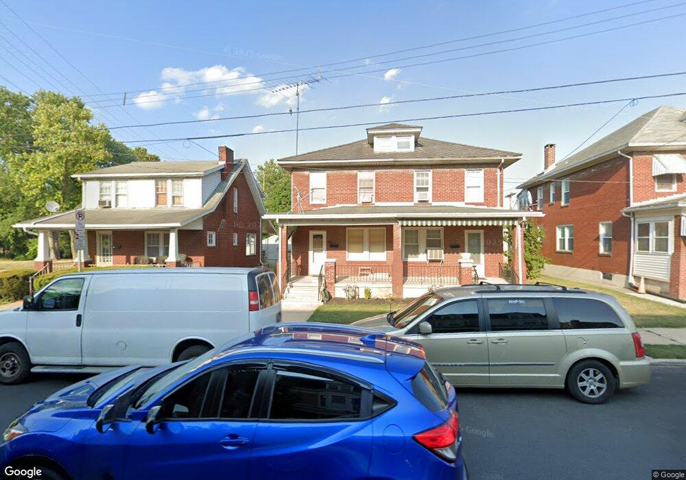
561 Atlantic Ave York, PA 17404
Northwest York NeighborhoodEstimated Value: $122,000 - $193,000
3
Beds
1
Bath
1,152
Sq Ft
$140/Sq Ft
Est. Value
About This Home
This home is located at 561 Atlantic Ave, York, PA 17404 and is currently estimated at $161,011, approximately $139 per square foot. 561 Atlantic Ave is a home located in York County with nearby schools including Jacob L. Devers School, William Penn Senior High School, and Lincoln Charter School.
Ownership History
Date
Name
Owned For
Owner Type
Purchase Details
Closed on
Jun 16, 2014
Sold by
Kramer Brandon K
Bought by
Rubesch Stephen M and Kramer Pamela S
Current Estimated Value
Purchase Details
Closed on
Aug 15, 2001
Sold by
Walton Phyllis Sarah
Bought by
Kramer Brandon K
Home Financials for this Owner
Home Financials are based on the most recent Mortgage that was taken out on this home.
Original Mortgage
$54,468
Interest Rate
7.16%
Mortgage Type
FHA
Create a Home Valuation Report for This Property
The Home Valuation Report is an in-depth analysis detailing your home's value as well as a comparison with similar homes in the area
Home Values in the Area
Average Home Value in this Area
Purchase History
| Date | Buyer | Sale Price | Title Company |
|---|---|---|---|
| Rubesch Stephen M | $52,789 | None Available | |
| Kramer Brandon K | $54,900 | -- |
Source: Public Records
Mortgage History
| Date | Status | Borrower | Loan Amount |
|---|---|---|---|
| Previous Owner | Kramer Brandon K | $54,468 | |
| Closed | Kramer Brandon K | $4,941 |
Source: Public Records
Tax History Compared to Growth
Tax History
| Year | Tax Paid | Tax Assessment Tax Assessment Total Assessment is a certain percentage of the fair market value that is determined by local assessors to be the total taxable value of land and additions on the property. | Land | Improvement |
|---|---|---|---|---|
| 2025 | $4,337 | $68,640 | $19,000 | $49,640 |
| 2024 | $4,261 | $68,640 | $19,000 | $49,640 |
| 2023 | $4,262 | $68,640 | $19,000 | $49,640 |
| 2022 | $4,237 | $68,640 | $19,000 | $49,640 |
| 2021 | $4,120 | $68,640 | $19,000 | $49,640 |
| 2020 | $4,023 | $68,640 | $19,000 | $49,640 |
| 2019 | $4,016 | $68,640 | $19,000 | $49,640 |
| 2018 | $4,016 | $68,640 | $19,000 | $49,640 |
| 2017 | $4,070 | $68,640 | $19,000 | $49,640 |
| 2016 | -- | $68,640 | $19,000 | $49,640 |
| 2015 | $3,505 | $68,640 | $19,000 | $49,640 |
| 2014 | $3,505 | $68,640 | $19,000 | $49,640 |
Source: Public Records
Map
Nearby Homes
- 553 Pacific Ave
- 714 May St
- 751 Village Rd
- 935 Parkway Blvd
- 627 N Hartley St
- 806 Pacific Ave
- 600 N Hartley St Unit 204
- 723 Manchester St
- 469 Linden Ave Unit 13
- 555 Madison Ave
- 712 Kelly Dr
- 698 Maryland Ave
- 225 Front St
- 1212 Livingston Rd
- 255 Roosevelt Ave
- 248 Roosevelt Ave
- 337 Garfield St
- 1221 Continental Rd
- 317 Garfield St
- 560 N Pershing Ave
- 559 Atlantic Ave
- 565 Atlantic Ave
- 555 Atlantic Ave
- 553 Atlantic Ave
- 549 Atlantic Ave
- 547 Atlantic Ave
- 556 Atlantic Ave
- 543 Atlantic Ave
- 550 Atlantic Ave
- 600 Atlantic Ave
- 560 Atlantic Ave
- 562 Atlantic Ave
- 558 Atlantic Ave
- 564 Atlantic Ave
- 566 Atlantic Ave
- 539 Atlantic Ave
- 307 Maryland Ave
- 800 Wood St
- 544 Atlantic Ave
- 606 Atlantic Ave