561 Beckton Park Ave Las Vegas, NV 89178
Estimated Value: $334,000 - $370,000
2
Beds
3
Baths
1,266
Sq Ft
$277/Sq Ft
Est. Value
About This Home
This home is located at 561 Beckton Park Ave, Las Vegas, NV 89178 and is currently estimated at $350,742, approximately $277 per square foot. 561 Beckton Park Ave is a home located in Clark County with nearby schools including Robert L. Forbuss Elementary School, Wilbur & Theresa Faiss Middle School, and Sierra Vista High School.
Ownership History
Date
Name
Owned For
Owner Type
Purchase Details
Closed on
Sep 21, 2011
Sold by
Skinner Joel D
Bought by
Yates Ronnie and Yates Frances
Current Estimated Value
Purchase Details
Closed on
Dec 3, 2007
Sold by
Kb Home Nevada Inc
Bought by
Skinner Joel D
Home Financials for this Owner
Home Financials are based on the most recent Mortgage that was taken out on this home.
Original Mortgage
$208,560
Interest Rate
6.3%
Mortgage Type
Unknown
Create a Home Valuation Report for This Property
The Home Valuation Report is an in-depth analysis detailing your home's value as well as a comparison with similar homes in the area
Home Values in the Area
Average Home Value in this Area
Purchase History
| Date | Buyer | Sale Price | Title Company |
|---|---|---|---|
| Yates Ronnie | $80,000 | Nevada Title Las Vegas | |
| Skinner Joel D | $208,560 | First Amer Title Co Of Nv |
Source: Public Records
Mortgage History
| Date | Status | Borrower | Loan Amount |
|---|---|---|---|
| Previous Owner | Skinner Joel D | $208,560 |
Source: Public Records
Tax History Compared to Growth
Tax History
| Year | Tax Paid | Tax Assessment Tax Assessment Total Assessment is a certain percentage of the fair market value that is determined by local assessors to be the total taxable value of land and additions on the property. | Land | Improvement |
|---|---|---|---|---|
| 2025 | $1,391 | $89,887 | $31,500 | $58,387 |
| 2024 | $1,351 | $89,887 | $31,500 | $58,387 |
| 2023 | $1,416 | $82,790 | $28,000 | $54,790 |
| 2022 | $1,311 | $72,761 | $22,750 | $50,011 |
| 2021 | $1,214 | $70,215 | $22,750 | $47,465 |
| 2020 | $1,125 | $68,312 | $21,350 | $46,962 |
| 2019 | $1,054 | $64,311 | $18,200 | $46,111 |
| 2018 | $1,006 | $58,450 | $14,350 | $44,100 |
| 2017 | $1,666 | $56,811 | $12,250 | $44,561 |
| 2016 | $943 | $48,410 | $9,450 | $38,960 |
| 2015 | $940 | $39,519 | $7,350 | $32,169 |
| 2014 | $911 | $30,120 | $5,250 | $24,870 |
Source: Public Records
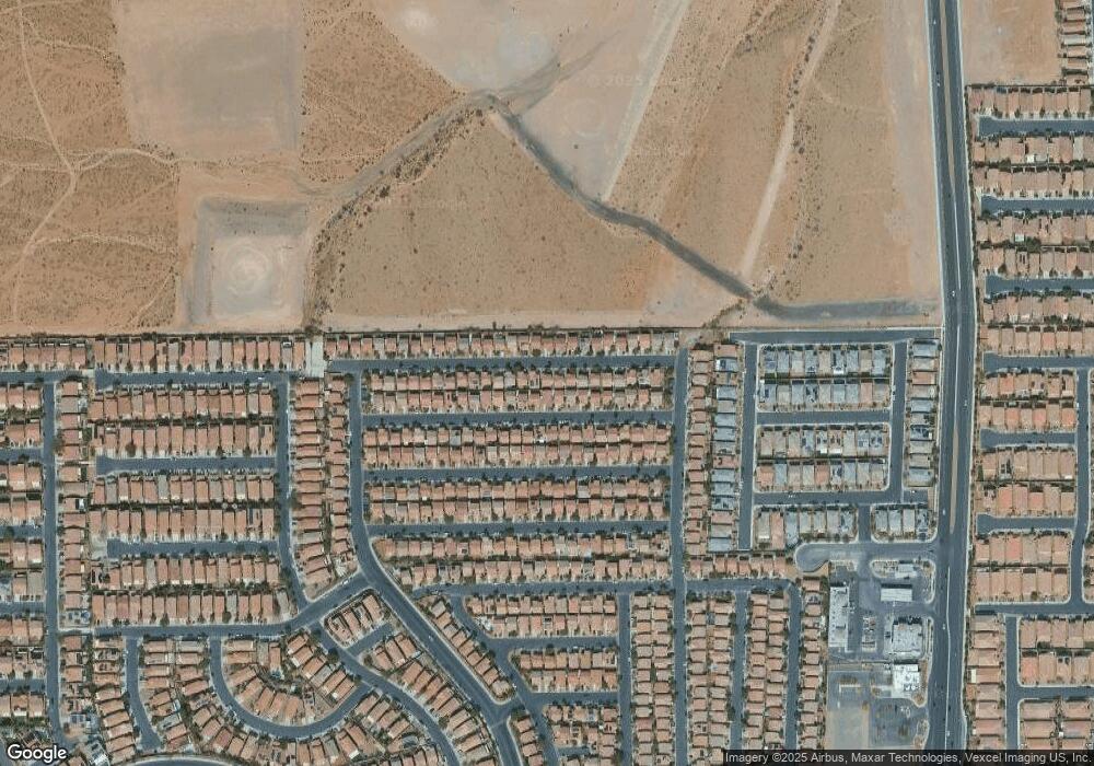
Map
Nearby Homes
- 573 Shewsbury Ave
- 445 Royal Bridge Dr
- 452 Swiss Cottage Ave
- 661 Newquay Ct
- 523 Cabis Bay St
- 552 Brompton St
- 582 Brompton St
- 722 Chepstow Ave
- 533 Warminster Ave
- 719 Quayside Ct
- 389 Fringe Ruff Dr
- 492 Merseyside Dr
- 705 Shirehampton Dr
- 242 Botanic Gardens Dr
- 356 Pearl Fountains Ct
- 728 Jewel Tower St
- 791 Trumpington Ct
- 736 Saint Keyne St
- 395 Grassy Pines Ct
- 280 Broken Par Dr
- 561 Beckton Park Ave Unit n/a
- 565 Beckton Park Ave
- 557 Beckton Park Ave
- 558 Brinkburn Point Ave
- 569 Beckton Park Ave
- 554 Brinkburn Point Ave
- 553 Beckton Park Ave
- 562 Brinkburn Point Ave
- 566 Brinkburn Point Ave
- 550 Brinkburn Point Ave
- 573 Beckton Park Ave
- 560 Beckton Park Ave
- 547 Beckton Park Ave
- 564 Beckton Park Ave
- 556 Beckton Park Ave
- 564R Beckton Park Ave
- 568 Beckton Park Ave
- 568 Beckton Park Ave Unit n/a
- 570 Brinkburn Point Ave
- 544 Brinkburn Point Ave