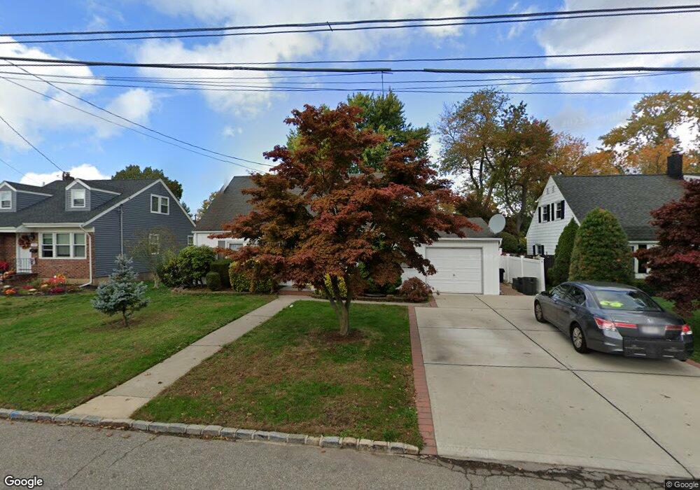
561 Bryant St Westbury, NY 11590
Estimated Value: $583,000 - $638,960
--
Bed
1
Bath
1,105
Sq Ft
$553/Sq Ft
Est. Value
About This Home
This home is located at 561 Bryant St, Westbury, NY 11590 and is currently estimated at $610,980, approximately $552 per square foot. 561 Bryant St is a home located in Nassau County with nearby schools including Westbury Middle School, Westbury High School, and St Brigid/Our Lady Of Hope Regional School.
Ownership History
Date
Name
Owned For
Owner Type
Purchase Details
Closed on
Sep 26, 2008
Sold by
Patel Sharad and Patel Sudha
Bought by
Babalola Olubisi and Babalola Sarafadeen
Current Estimated Value
Purchase Details
Closed on
Nov 10, 2004
Sold by
Hernandez Edgar
Bought by
Patel Sharad
Purchase Details
Closed on
Apr 18, 2001
Sold by
Hoyos Alejandro A
Bought by
Hernandez Edgar
Purchase Details
Closed on
Aug 28, 1996
Sold by
Hoyos Alejandro and Zea Jesus
Bought by
Hoyos Alejandro
Create a Home Valuation Report for This Property
The Home Valuation Report is an in-depth analysis detailing your home's value as well as a comparison with similar homes in the area
Home Values in the Area
Average Home Value in this Area
Purchase History
| Date | Buyer | Sale Price | Title Company |
|---|---|---|---|
| Babalola Olubisi | $330,720 | Attorney | |
| Patel Sharad | $329,000 | -- | |
| Hernandez Edgar | $205,000 | Michael J Jannuzzi | |
| Hoyos Alejandro | $8,597 | -- |
Source: Public Records
Tax History Compared to Growth
Tax History
| Year | Tax Paid | Tax Assessment Tax Assessment Total Assessment is a certain percentage of the fair market value that is determined by local assessors to be the total taxable value of land and additions on the property. | Land | Improvement |
|---|---|---|---|---|
| 2025 | $9,125 | $328 | $188 | $140 |
| 2024 | $2,416 | $328 | $188 | $140 |
| 2023 | $8,517 | $328 | $188 | $140 |
| 2022 | $8,517 | $328 | $188 | $140 |
| 2021 | $8,564 | $316 | $181 | $135 |
| 2020 | $8,440 | $468 | $467 | $1 |
| 2019 | $7,833 | $502 | $492 | $10 |
| 2018 | $7,959 | $535 | $0 | $0 |
| 2017 | $6,404 | $584 | $524 | $60 |
| 2016 | $9,025 | $584 | $524 | $60 |
| 2015 | $2,242 | $584 | $524 | $60 |
| 2014 | $2,242 | $584 | $524 | $60 |
| 2013 | $2,175 | $584 | $524 | $60 |
Source: Public Records
Map
Nearby Homes
- 20 Longfellow Ave
- 54 School St Unit 315
- 646 Whittier St
- 544 Dryden St
- 671 Whittier St
- 2001 Wellington Ct
- 2040 Wellington Ct
- 906 Bromton Dr
- 1982 Stratford Dr
- 806 Oliver Ave
- 1148 Howard Dr
- 130 Post Ave Unit 202
- 130 Post Ave Unit 303
- 130 Post Ave Unit 322
- 130 Post Ave Unit 316
- 330 Maple Ave Unit 25
- 9 Grayston St
- 537 Church St
- 474 Newton St
- 89 5th Ave
- 567 Bryant St
- 555 Bryant St
- 54 Longfellow Ave
- 566 Whittier St
- 573 Bryant St
- 44 Longfellow Ave
- 572 Whittier St
- 45 Longfellow Ave
- 579 Bryant St
- 38 Longfellow Ave
- 578 Whittier St
- 49 Longfellow Ave
- 55 Longfellow Ave
- 542 Whittier St
- 34 Longfellow Ave
- 585 Bryant St
- 584 Whittier St
- 43 Emerson Ct
- 565 Whittier St
- 569 Whittier St