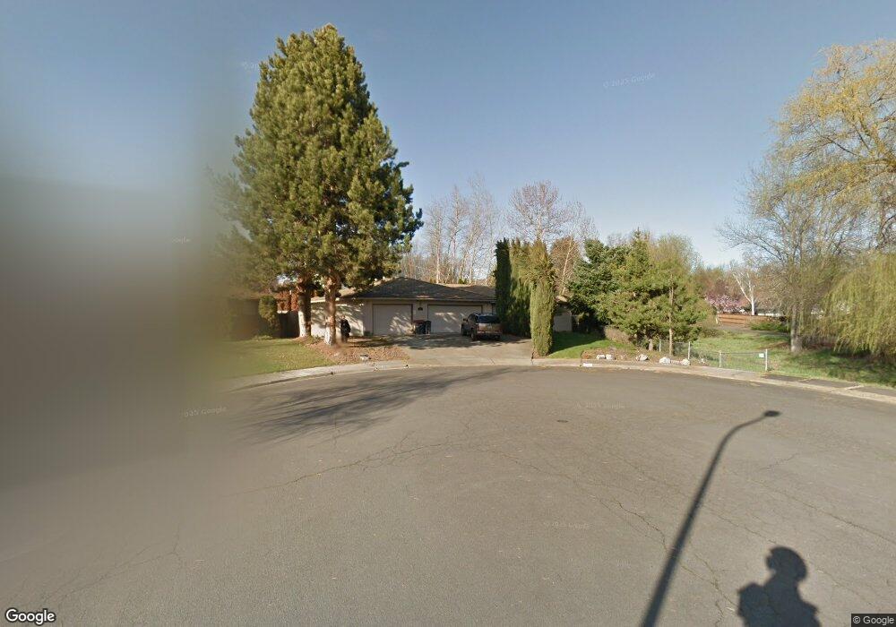
561 Burgundy Cir Medford, OR 97504
Estimated Value: $468,000 - $503,439
3
Beds
2
Baths
1,958
Sq Ft
$249/Sq Ft
Est. Value
About This Home
This home is located at 561 Burgundy Cir, Medford, OR 97504 and is currently estimated at $487,860, approximately $249 per square foot. 561 Burgundy Cir is a home located in Jackson County with nearby schools including Hoover Elementary School, Hedrick Middle School, and South Medford High School.
Ownership History
Date
Name
Owned For
Owner Type
Purchase Details
Closed on
Oct 7, 2015
Sold by
Rand Larry W and Rand Roberta J
Bought by
The Rand Family Revocable Living Trust
Current Estimated Value
Purchase Details
Closed on
Sep 9, 2002
Sold by
Guss James Leon and Guss Gail A
Bought by
Rand Larry W and Rand Roberta J
Home Financials for this Owner
Home Financials are based on the most recent Mortgage that was taken out on this home.
Original Mortgage
$151,200
Outstanding Balance
$63,392
Interest Rate
6.29%
Estimated Equity
$424,468
Create a Home Valuation Report for This Property
The Home Valuation Report is an in-depth analysis detailing your home's value as well as a comparison with similar homes in the area
Home Values in the Area
Average Home Value in this Area
Purchase History
| Date | Buyer | Sale Price | Title Company |
|---|---|---|---|
| The Rand Family Revocable Living Trust | -- | None Available | |
| Rand Larry W | $189,000 | Amerititle |
Source: Public Records
Mortgage History
| Date | Status | Borrower | Loan Amount |
|---|---|---|---|
| Open | Rand Larry W | $151,200 | |
| Closed | Rand Larry W | $18,900 |
Source: Public Records
Tax History Compared to Growth
Tax History
| Year | Tax Paid | Tax Assessment Tax Assessment Total Assessment is a certain percentage of the fair market value that is determined by local assessors to be the total taxable value of land and additions on the property. | Land | Improvement |
|---|---|---|---|---|
| 2025 | $4,675 | $322,320 | $132,690 | $189,630 |
| 2024 | $4,675 | $312,940 | $128,830 | $184,110 |
| 2023 | $4,531 | $303,830 | $125,080 | $178,750 |
| 2022 | $4,421 | $303,830 | $125,080 | $178,750 |
| 2021 | $4,307 | $294,990 | $121,430 | $173,560 |
| 2020 | $4,216 | $286,400 | $117,900 | $168,500 |
| 2019 | $4,116 | $269,970 | $111,130 | $158,840 |
| 2018 | $4,010 | $262,110 | $107,890 | $154,220 |
| 2017 | $3,938 | $262,110 | $107,890 | $154,220 |
| 2016 | $3,964 | $247,070 | $101,700 | $145,370 |
| 2015 | $3,810 | $247,070 | $101,700 | $145,370 |
| 2014 | $3,743 | $232,900 | $95,870 | $137,030 |
Source: Public Records
Map
Nearby Homes
- 425 S Modoc Ave
- 2549 E Barnett Rd
- 2556 Dellwood Ave
- 305 S Groveland Ave
- 341 Ardmore Ave
- 2458 Republic Way
- 1924 Crestbrook Rd
- 325 Sutter Ave
- 2462 Senate Way
- 2406 Senate Way
- 101 S Modoc Ave
- 433 Highland Dr
- 908 Black Oak Dr
- 2566 Heritage Way
- 2741 Ruth Dr
- 2233 Oakwood Dr
- 164 Black Oak Dr
- 430 Highland Dr
- 9 S Groveland Ave
- 91 Black Oak Dr
- 547 Hoover Park Dr
- 557 Burgundy Cir
- 549 Hoover Park Dr
- 543 Hoover Park Dr
- 564 Burgundy Cir
- 2313 Greenbrook Dr
- 2325 Greenbrook Dr
- 548 Amber Cir
- 2337 Greenbrook Dr
- 583 Burgundy Cir
- 572 Burgundy Cir
- 539 Hoover Park Dr
- 536 Amber Cir
- 2349 Greenbrook Dr
- 633 Carrington Ave
- 641 Carrington Ave
- 649 Carrington Ave
- 617 Carrington Ave
- 580 Burgundy Cir Unit 2
- 657 Carrington Ave