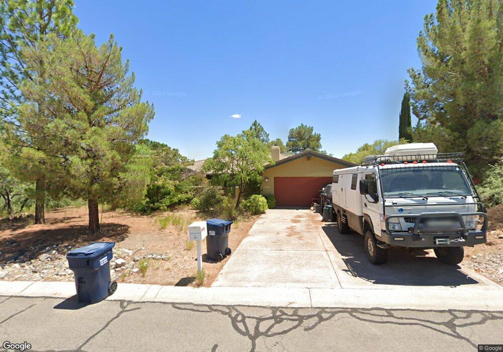
561 Everett Ln Clarkdale, AZ 86324
Estimated Value: $527,367 - $628,000
3
Beds
--
Bath
2,106
Sq Ft
$275/Sq Ft
Est. Value
About This Home
This home is located at 561 Everett Ln, Clarkdale, AZ 86324 and is currently estimated at $578,592, approximately $274 per square foot. 561 Everett Ln is a home located in Yavapai County with nearby schools including Cottonwood Elementary School, Dr Daniel Bright Elementary School, and Cottonwood Community School.
Ownership History
Date
Name
Owned For
Owner Type
Purchase Details
Closed on
May 13, 2002
Sold by
Wolstencroft William A
Bought by
Gibbons William M
Current Estimated Value
Purchase Details
Closed on
May 8, 1997
Sold by
Wolstencroft William A
Bought by
Wolstencroft William A and Wolstencroft Ginger G
Home Financials for this Owner
Home Financials are based on the most recent Mortgage that was taken out on this home.
Original Mortgage
$112,000
Interest Rate
8.08%
Purchase Details
Closed on
Nov 30, 1996
Sold by
Wolstencroft Ginger Gene
Bought by
Wolstencroft William A
Purchase Details
Closed on
Nov 30, 1995
Sold by
Manierre Betty C
Bought by
Wolstencroft William A
Create a Home Valuation Report for This Property
The Home Valuation Report is an in-depth analysis detailing your home's value as well as a comparison with similar homes in the area
Home Values in the Area
Average Home Value in this Area
Purchase History
| Date | Buyer | Sale Price | Title Company |
|---|---|---|---|
| Gibbons William M | $225,000 | Chicago Title Insurance Co | |
| Wolstencroft William A | -- | Capital Title Agency | |
| Wolstencroft William A | -- | Capital Title Agency | |
| Wolstencroft William A | $33,000 | Capital Title Agency |
Source: Public Records
Mortgage History
| Date | Status | Borrower | Loan Amount |
|---|---|---|---|
| Previous Owner | Wolstencroft William A | $112,000 |
Source: Public Records
Tax History
| Year | Tax Paid | Tax Assessment Tax Assessment Total Assessment is a certain percentage of the fair market value that is determined by local assessors to be the total taxable value of land and additions on the property. | Land | Improvement |
|---|---|---|---|---|
| 2026 | $2,799 | $38,274 | -- | -- |
| 2024 | $2,703 | $38,192 | -- | -- |
| 2023 | $2,703 | $29,556 | $5,164 | $24,392 |
| 2022 | $2,660 | $25,613 | $4,158 | $21,455 |
| 2021 | $2,760 | $23,825 | $4,195 | $19,630 |
| 2020 | $2,710 | $0 | $0 | $0 |
| 2019 | $2,659 | $0 | $0 | $0 |
| 2018 | $2,554 | $0 | $0 | $0 |
| 2017 | $2,444 | $0 | $0 | $0 |
| 2016 | $2,388 | $0 | $0 | $0 |
| 2015 | $2,349 | $0 | $0 | $0 |
| 2014 | $2,137 | $0 | $0 | $0 |
Source: Public Records
Map
Nearby Homes
- 550 W Black Hills Dr
- 621 Skyline Blvd Unit 48
- 820 N Skyline Blvd Unit .36
- 1830 Sable Ridge Rd Unit 119
- 581 N Skyline Blvd Unit 241
- 661 Skyline Blvd Unit 44
- 671 Skyline Blvd Unit 43
- 571 N Skyline Blvd Unit 242
- 840 N Skyline Blvd Unit 35
- 1581 Buena Vista Dr
- 661 Shadow Canyon Dr
- 1941 Sable Ridge Rd Unit 156
- 1960 W Buena Vista Dr Unit 33
- 1820 W Buena Vista Dr Unit 26
- 46 Gemini Dr Unit 4
- 641 Pine Ridge Rd Unit 159
- 1921 Old Jerome Hwy Unit 56
- 441 Skyline Blvd Unit 249
- 600 Pine Ridge Rd Unit 10
- 1881 Old Jerome Hwy Unit 54