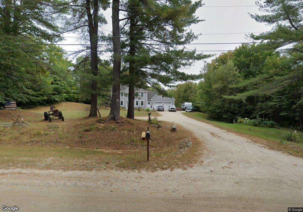
561 Foster Rd Auburn, ME 04210
Estimated Value: $480,000 - $653,000
3
Beds
3
Baths
2,208
Sq Ft
$245/Sq Ft
Est. Value
About This Home
This home is located at 561 Foster Rd, Auburn, ME 04210 and is currently estimated at $541,454, approximately $245 per square foot. 561 Foster Rd is a home located in Androscoggin County with nearby schools including Sherwood Heights Elementary School, Auburn Middle School, and Edward Little High School.
Ownership History
Date
Name
Owned For
Owner Type
Purchase Details
Closed on
Nov 16, 2012
Sold by
Lapierre Jennifer L and Leavitt Jennifer L
Bought by
Lapierre Jennifer L and Lapierre Matthew R
Current Estimated Value
Home Financials for this Owner
Home Financials are based on the most recent Mortgage that was taken out on this home.
Original Mortgage
$216,371
Outstanding Balance
$144,913
Interest Rate
2.75%
Mortgage Type
FHA
Estimated Equity
$396,541
Purchase Details
Closed on
Feb 26, 2008
Sold by
Lapierre Jennifer L
Bought by
Lapierre Jennifer L and Lapierre Matthew R
Create a Home Valuation Report for This Property
The Home Valuation Report is an in-depth analysis detailing your home's value as well as a comparison with similar homes in the area
Home Values in the Area
Average Home Value in this Area
Purchase History
| Date | Buyer | Sale Price | Title Company |
|---|---|---|---|
| Lapierre Jennifer L | -- | -- | |
| Lapierre Jennifer L | $1,001 | -- |
Source: Public Records
Mortgage History
| Date | Status | Borrower | Loan Amount |
|---|---|---|---|
| Open | Lapierre Jennifer L | $216,371 |
Source: Public Records
Tax History Compared to Growth
Tax History
| Year | Tax Paid | Tax Assessment Tax Assessment Total Assessment is a certain percentage of the fair market value that is determined by local assessors to be the total taxable value of land and additions on the property. | Land | Improvement |
|---|---|---|---|---|
| 2024 | $7,576 | $340,500 | $50,400 | $290,100 |
| 2023 | $6,886 | $302,700 | $44,700 | $258,000 |
| 2022 | $6,886 | $302,700 | $44,700 | $258,000 |
| 2021 | $6,012 | $252,400 | $37,300 | $215,100 |
| 2020 | $6,052 | $254,800 | $37,300 | $217,500 |
| 2019 | $6,052 | $254,800 | $37,300 | $217,500 |
| 2018 | $6,034 | $254,800 | $37,300 | $217,500 |
| 2017 | $5,400 | $254,900 | $37,300 | $217,600 |
| 2016 | $5,791 | $259,100 | $37,300 | $221,800 |
| 2015 | $5,281 | $258,500 | $36,700 | $221,800 |
| 2013 | -- | $258,500 | $36,700 | $221,800 |
Source: Public Records
Map
Nearby Homes
- 10 Spring Valley Ln
- 114 Garden Cir
- 26 Front Ave
- 55 Broadway Cir
- 15 Country Club Dr
- 730 Beech Hill Rd
- 22 Lantern Way Unit 23
- 16 Harvest Hill Ln Unit 2
- 14 Harvest Hill Ln Unit 1
- 10-56 C&E Bowdoin Way
- 832 Old Danville Rd
- 139 Fletcher Rd
- 161 Beaver Dam Dr
- 46 Club House Ln Unit 9
- 20 Brandywine Cir
- 12 Country Charm Ln
- 46-47D Hines Rd & Main St
- Lot 47D -C Hines Rd
- 53 Westview Dr
- 26 Carpenter Rd