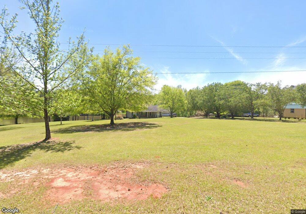
561 Freeman Rd Barnesville, GA 30204
Estimated Value: $355,000 - $478,359
3
Beds
2
Baths
1,632
Sq Ft
$252/Sq Ft
Est. Value
About This Home
This home is located at 561 Freeman Rd, Barnesville, GA 30204 and is currently estimated at $410,786, approximately $251 per square foot. 561 Freeman Rd is a home with nearby schools including Lamar County Primary School, Lamar County Elementary School, and Lamar County Middle School.
Ownership History
Date
Name
Owned For
Owner Type
Purchase Details
Closed on
May 18, 2015
Bought by
Page Robert K
Current Estimated Value
Purchase Details
Closed on
Apr 13, 2015
Bought by
Page Robert K
Purchase Details
Closed on
Apr 18, 2005
Sold by
Page Robert K
Bought by
Page Robert K
Purchase Details
Closed on
Apr 26, 1999
Sold by
Lathan Donald
Bought by
Page Robert K
Create a Home Valuation Report for This Property
The Home Valuation Report is an in-depth analysis detailing your home's value as well as a comparison with similar homes in the area
Purchase History
| Date | Buyer | Sale Price | Title Company |
|---|---|---|---|
| Page Robert K | -- | -- | |
| Page Robert K | -- | -- | |
| Page Robert K | -- | -- | |
| Page Robert K | -- | -- | |
| Page Robert K | $169,000 | -- |
Source: Public Records
Tax History
| Year | Tax Paid | Tax Assessment Tax Assessment Total Assessment is a certain percentage of the fair market value that is determined by local assessors to be the total taxable value of land and additions on the property. | Land | Improvement |
|---|---|---|---|---|
| 2025 | $2,293 | $151,504 | $59,918 | $91,586 |
| 2024 | $2,163 | $135,119 | $59,918 | $75,201 |
| 2023 | $2,120 | $127,608 | $59,918 | $67,690 |
| 2022 | $1,950 | $101,410 | $39,501 | $61,909 |
| 2021 | $1,560 | $82,857 | $39,501 | $43,356 |
| 2020 | $1,651 | $83,334 | $39,978 | $43,356 |
| 2019 | $1,649 | $83,334 | $39,978 | $43,356 |
| 2018 | $1,578 | $83,334 | $39,978 | $43,356 |
| 2017 | $1,564 | $83,334 | $39,978 | $43,356 |
| 2016 | $1,560 | $83,334 | $39,978 | $43,356 |
| 2015 | $1,549 | $83,335 | $39,978 | $43,356 |
| 2014 | $1,390 | $83,335 | $39,978 | $43,356 |
| 2013 | -- | $83,334 | $39,978 | $43,356 |
Source: Public Records
Map
Nearby Homes
- 1505 Willis Rd
- 395 Country Kitchen Rd
- 330 Country Kitchen Rd
- 249 Ponderosa Ln
- 1904 U S 341
- 216 Ponderosa Ln
- 250 Perdue Rd
- 272 Community House Rd
- 0 Us Highway 41
- 187 Coffey Rd
- 1013 Veterans Pkwy
- 1207 Highway 36 W
- 146 Berry Rd Unit LOT 12B
- 148 Berry Rd Unit LOT 12A
- 144 Berry Rd Unit LOT 13
- 150 Berry Rd
- 818 Cannafax Rd
- 0 Yatesville Rd Unit 10650403
- 0 Highway 341 S Unit 181569
- 0 Highway 341 S Unit 10610486
- 797 Yatesville Rd
- 841 Yatesville Rd
- 106 Bypass Rd
- 119 Bypass Rd
- 116 Bypass Rd
- 124 Bypass Rd
- 752 Yatesville Rd
- 534 Freeman Rd
- 720 Yatesville Rd
- 714 Yatesville Rd
- 2796 Yatesville Rd
- 689 Yatesville Rd
- 150 Bypass Rd
- 610 Bypass Rd
- 674 Country Kitchen Rd
- 1495 Willis Rd
- 698 Yatesville Rd
- 451 Bypass Rd
- 673 Yatesville Rd
- 99 Bypass Rd
Your Personal Tour Guide
Ask me questions while you tour the home.