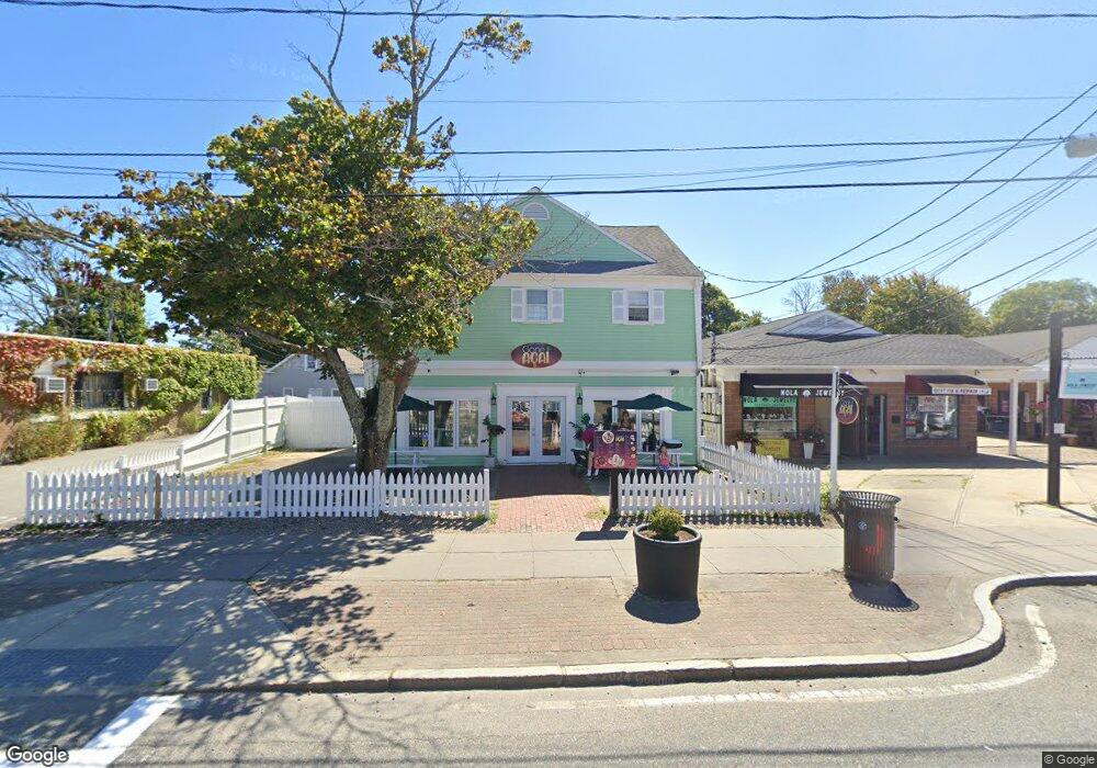
561 Main St Unit C Hyannis, MA 02601
Estimated Value: $307,000 - $397,170
2
Beds
1
Bath
600
Sq Ft
$575/Sq Ft
Est. Value
About This Home
This home is located at 561 Main St Unit C, Hyannis, MA 02601 and is currently estimated at $345,043, approximately $575 per square foot. 561 Main St Unit C is a home located in Barnstable County with nearby schools including Hyannis West Elementary School, Barnstable United Elementary School, and Barnstable Intermediate School.
Ownership History
Date
Name
Owned For
Owner Type
Purchase Details
Closed on
Sep 29, 2017
Sold by
Hostetter Daniel C and Hostetter Adam J
Bought by
Moura Properties Llc
Current Estimated Value
Purchase Details
Closed on
Sep 24, 1999
Sold by
Cape Cod Mtg T Inc
Bought by
Osullivan Daniel F
Purchase Details
Closed on
Nov 7, 1996
Sold by
Jamun Rt and Rice Milton L
Bought by
Cape Cod Mtg Trust Inc
Purchase Details
Closed on
Apr 8, 1988
Sold by
Consoli Hyannis Rt
Bought by
Jamun Rt
Create a Home Valuation Report for This Property
The Home Valuation Report is an in-depth analysis detailing your home's value as well as a comparison with similar homes in the area
Home Values in the Area
Average Home Value in this Area
Purchase History
| Date | Buyer | Sale Price | Title Company |
|---|---|---|---|
| Moura Properties Llc | $670,000 | -- | |
| Osullivan Daniel F | $26,750 | -- | |
| Cape Cod Mtg Trust Inc | $15,000 | -- | |
| Jamun Rt | $742,000 | -- |
Source: Public Records
Tax History Compared to Growth
Tax History
| Year | Tax Paid | Tax Assessment Tax Assessment Total Assessment is a certain percentage of the fair market value that is determined by local assessors to be the total taxable value of land and additions on the property. | Land | Improvement |
|---|---|---|---|---|
| 2025 | $1,497 | $161,500 | $0 | $161,500 |
| 2024 | $1,367 | $151,000 | $0 | $151,000 |
| 2023 | $1,189 | $124,200 | $0 | $124,200 |
| 2022 | $1,200 | $103,700 | $0 | $103,700 |
| 2021 | $1,249 | $104,900 | $0 | $104,900 |
| 2020 | $1,196 | $97,000 | $0 | $97,000 |
| 2019 | $1,220 | $97,000 | $0 | $97,000 |
| 2018 | $1,169 | $94,200 | $0 | $94,200 |
| 2017 | $1,129 | $94,200 | $0 | $94,200 |
| 2016 | $1,105 | $94,200 | $0 | $94,200 |
| 2015 | $1,154 | $99,700 | $0 | $99,700 |
Source: Public Records
Map
Nearby Homes
- 574 Main St
- 93 Sea St
- 65 Louis St Unit A
- 199 Hamden Cir
- 24 Betty's Pond Rd Unit 1K
- 24 Bettys Pond Rd Unit K
- 287 Ocean St Unit C2
- 287 Ocean St Unit 2 BLDG C
- 72 Grove St
- 49 Snow Creek Dr
- 49 Center St
- 35 Pleasant St
- 28 Bumpus Rd
- 381 Ocean St Unit 1
- 112 W Main St Unit 8
- 112 W Main St Unit 7
- 112 W Main St Unit 6
- 112 W Main St Unit 4
- 112 W Main St Unit 5
- 112 W Main St Unit 2
- 561 Main St Unit 561C
- 561 Main St
- 561 Main St Unit A
- 573 Main St Unit B
- 573 Main St
- 569 Main St
- 569 Main St Unit D3
- 569 Main St Unit 9
- 569 Main St Unit 8
- 569 Main St Unit 7
- 569 Main St Unit 6
- 569 Main St Unit 5
- 569 Main St Unit 4
- 569 Main St Unit 1210
- 569 Main St Unit B
- 569 Main St Unit D
- 569 Main St Unit 8
- 569 Main St Unit 12
- 569 Main St Unit 11
- 569 Main St Unit 2