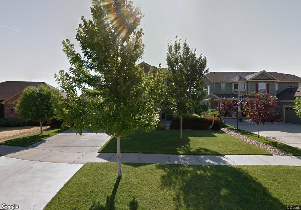
561 N Flat Rock Cir Aurora, CO 80018
Estimated Value: $570,067 - $627,000
3
Beds
4
Baths
2,133
Sq Ft
$277/Sq Ft
Est. Value
About This Home
This home is located at 561 N Flat Rock Cir, Aurora, CO 80018 and is currently estimated at $591,517, approximately $277 per square foot. 561 N Flat Rock Cir is a home located in Arapahoe County with nearby schools including Vista Peak Exploratory and Vista Peak 9-12 Preparatory.
Ownership History
Date
Name
Owned For
Owner Type
Purchase Details
Closed on
Apr 4, 2007
Sold by
Standard Pacific Of Colorado Inc
Bought by
Hicks Kenneth L and Hicks Jocelyn A
Current Estimated Value
Home Financials for this Owner
Home Financials are based on the most recent Mortgage that was taken out on this home.
Original Mortgage
$180,000
Outstanding Balance
$106,650
Interest Rate
6.24%
Mortgage Type
Purchase Money Mortgage
Estimated Equity
$484,867
Create a Home Valuation Report for This Property
The Home Valuation Report is an in-depth analysis detailing your home's value as well as a comparison with similar homes in the area
Purchase History
| Date | Buyer | Sale Price | Title Company |
|---|---|---|---|
| Hicks Kenneth L | $293,271 | Land Title Guarantee Company |
Source: Public Records
Mortgage History
| Date | Status | Borrower | Loan Amount |
|---|---|---|---|
| Open | Hicks Kenneth L | $180,000 |
Source: Public Records
Tax History
| Year | Tax Paid | Tax Assessment Tax Assessment Total Assessment is a certain percentage of the fair market value that is determined by local assessors to be the total taxable value of land and additions on the property. | Land | Improvement |
|---|---|---|---|---|
| 2025 | $4,193 | $38,688 | -- | -- |
| 2024 | $4,144 | $38,076 | -- | -- |
| 2023 | $4,144 | $38,076 | $0 | $0 |
| 2022 | $3,308 | $29,218 | $0 | $0 |
| 2021 | $3,410 | $29,218 | $0 | $0 |
| 2020 | $3,457 | $29,423 | $0 | $0 |
| 2019 | $3,445 | $29,423 | $0 | $0 |
| 2018 | $3,071 | $25,718 | $0 | $0 |
| 2017 | $4,191 | $25,718 | $0 | $0 |
| 2016 | $3,774 | $23,593 | $0 | $0 |
| 2015 | $3,697 | $23,593 | $0 | $0 |
| 2014 | $3,096 | $19,032 | $0 | $0 |
| 2013 | -- | $19,780 | $0 | $0 |
Source: Public Records
Map
Nearby Homes
- 465 N Flat Rock St
- 24346 E 5th Place
- 182 N de Gaulle St
- 25029 E 3rd Place
- 23626 E 5th Place
- 23614 E 5th Place
- Yorktown Plan at Harvest Crossing
- Hopewell Plan at Harvest Crossing
- Arlington Plan at Harvest Crossing
- Hemingway Plan at Harvest Crossing
- Coronado Plan at Harvest Crossing
- Seth Plan at Harvest Crossing
- Bedford Plan at Harvest Crossing
- 23627 E 5th Place
- 23584 E 5th Place
- 23576 E 5th Place
- 177 N Ider St
- 23507 E 5th Place
- 59 S de Gaulle St
- 463 N Jamestown Way
- 563 N Flat Rock Cir
- 553 N Flat Rock Cir
- 571 N Flat Rock Cir
- 551 N Flat Rock Cir
- 550 N Flat Rock Cir
- 540 N Flat Rock Cir
- 573 N Flat Rock Cir
- 560 N Flat Rock Cir
- 543 N Flat Rock Cir
- 570 N Flat Rock Cir
- 541 N Flat Rock Cir
- 520 N Flat Rock Cir
- 530 N Flat Rock Cir
- 510 N Flat Rock Cir
- 533 N Flat Rock Cir
- 500 N Flat Rock Cir
- 531 N Flat Rock Cir
- 506 N Coolidge Way
- 523 N Flat Rock Cir
- 496 N Coolidge Way
Your Personal Tour Guide
Ask me questions while you tour the home.