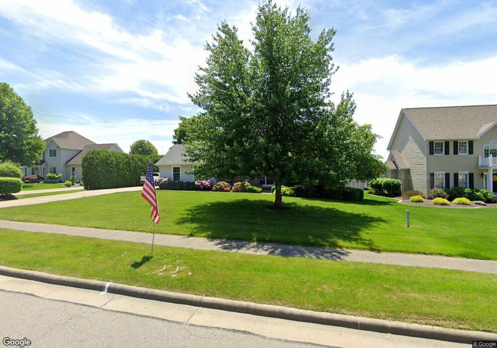
561 Neff Dr Canfield, OH 44406
Estimated Value: $352,000 - $435,000
4
Beds
3
Baths
2,300
Sq Ft
$170/Sq Ft
Est. Value
About This Home
This home is located at 561 Neff Dr, Canfield, OH 44406 and is currently estimated at $389,891, approximately $169 per square foot. 561 Neff Dr is a home located in Mahoning County with nearby schools including Canfield Village Middle School, Canfield High School, and St Charles Elementary School.
Ownership History
Date
Name
Owned For
Owner Type
Purchase Details
Closed on
Feb 27, 1998
Sold by
Koch Construction
Bought by
Cummings Michael P and Cummings Barbara G
Current Estimated Value
Home Financials for this Owner
Home Financials are based on the most recent Mortgage that was taken out on this home.
Original Mortgage
$147,475
Outstanding Balance
$26,812
Interest Rate
6.95%
Estimated Equity
$363,079
Purchase Details
Closed on
Oct 22, 1991
Bought by
Montgomery Estates
Create a Home Valuation Report for This Property
The Home Valuation Report is an in-depth analysis detailing your home's value as well as a comparison with similar homes in the area
Home Values in the Area
Average Home Value in this Area
Purchase History
| Date | Buyer | Sale Price | Title Company |
|---|---|---|---|
| Cummings Michael P | $173,500 | -- | |
| Montgomery Estates | -- | -- |
Source: Public Records
Mortgage History
| Date | Status | Borrower | Loan Amount |
|---|---|---|---|
| Open | Cummings Michael P | $147,475 |
Source: Public Records
Tax History
| Year | Tax Paid | Tax Assessment Tax Assessment Total Assessment is a certain percentage of the fair market value that is determined by local assessors to be the total taxable value of land and additions on the property. | Land | Improvement |
|---|---|---|---|---|
| 2025 | $4,994 | $114,780 | $13,880 | $100,900 |
| 2024 | $4,995 | $114,780 | $13,880 | $100,900 |
| 2023 | $4,917 | $114,780 | $13,880 | $100,900 |
| 2022 | $4,588 | $85,160 | $13,880 | $71,280 |
| 2021 | $4,454 | $85,160 | $13,880 | $71,280 |
| 2020 | $4,472 | $85,160 | $13,880 | $71,280 |
| 2019 | $4,449 | $76,040 | $12,390 | $63,650 |
| 2018 | $4,395 | $76,040 | $12,390 | $63,650 |
| 2017 | $4,246 | $76,040 | $12,390 | $63,650 |
| 2016 | $4,150 | $73,970 | $14,040 | $59,930 |
| 2015 | $4,060 | $73,970 | $14,040 | $59,930 |
| 2014 | $4,076 | $73,970 | $14,040 | $59,930 |
| 2013 | $3,930 | $73,970 | $14,040 | $59,930 |
Source: Public Records
Map
Nearby Homes
- 120 Talsman Dr Unit 4
- 361 Hilltop Blvd Unit 1A
- 181 Talsman Dr Unit B
- 30 Barnstone Ln Unit 18
- 6060 S Raccoon Rd
- 190 Chapel Ln
- 71 Hilltop Blvd
- 523 Janet Dr
- 36 Hilltop Blvd
- 223 Fairview Ave
- 6580 Abbey Rd N
- 6916 S Raccoon Rd
- 6850 Abbey Rd N
- 5025 Macy Ln
- 5034 Macy Ln
- 6843 Abbey Rd
- 4032 Saint Andrews Ct Unit 1
- 9 Willow Way
- 0 Shields Rd Unit 5162190
- 21 Villa Theresa Ln
- 571 Neff Dr
- 551 Neff Dr
- 11 Canterbury Ct
- 560 Neff Dr
- 110 Montgomery Dr
- 550 Neff Dr
- 100 Montgomery Dr
- 100 Montgomery Dr Unit 1
- 541 Neff Dr
- 21 Canterbury Ct
- 570 Neff Dr
- 540 Neff Dr
- 10 Canterbury Ct
- 200 Montgomery Dr
- 531 Neff Dr
- 101 Neff Ct
- 80 Montgomery Dr
- 20 Canterbury Ct
- 31 Canterbury Ct
- 111 Neff Ct
Your Personal Tour Guide
Ask me questions while you tour the home.