561 Nordic Ct Slinger, WI 53086
Estimated Value: $467,000 - $531,000
3
Beds
2
Baths
2,139
Sq Ft
$229/Sq Ft
Est. Value
About This Home
This home is located at 561 Nordic Ct, Slinger, WI 53086 and is currently estimated at $489,086, approximately $228 per square foot. 561 Nordic Ct is a home located in Washington County with nearby schools including Slinger High School and St Peter Elementary School.
Ownership History
Date
Name
Owned For
Owner Type
Purchase Details
Closed on
Aug 31, 2017
Sold by
Proeber Mark J and Proeber Sharon
Bought by
Skoczynski Daniel and Becker Andrea
Current Estimated Value
Home Financials for this Owner
Home Financials are based on the most recent Mortgage that was taken out on this home.
Original Mortgage
$266,000
Outstanding Balance
$222,486
Interest Rate
3.96%
Mortgage Type
New Conventional
Estimated Equity
$266,600
Create a Home Valuation Report for This Property
The Home Valuation Report is an in-depth analysis detailing your home's value as well as a comparison with similar homes in the area
Home Values in the Area
Average Home Value in this Area
Purchase History
| Date | Buyer | Sale Price | Title Company |
|---|---|---|---|
| Skoczynski Daniel | $280,000 | Milwaukee Title Inc |
Source: Public Records
Mortgage History
| Date | Status | Borrower | Loan Amount |
|---|---|---|---|
| Open | Skoczynski Daniel | $266,000 |
Source: Public Records
Tax History Compared to Growth
Tax History
| Year | Tax Paid | Tax Assessment Tax Assessment Total Assessment is a certain percentage of the fair market value that is determined by local assessors to be the total taxable value of land and additions on the property. | Land | Improvement |
|---|---|---|---|---|
| 2024 | $5,096 | $451,900 | $81,900 | $370,000 |
| 2023 | $4,483 | $337,200 | $63,000 | $274,200 |
| 2022 | $4,593 | $337,200 | $63,000 | $274,200 |
| 2021 | $4,384 | $337,200 | $63,000 | $274,200 |
| 2020 | $4,498 | $302,900 | $59,000 | $243,900 |
| 2019 | $4,439 | $302,900 | $59,000 | $243,900 |
| 2018 | $4,402 | $302,900 | $59,000 | $243,900 |
| 2017 | $4,492 | $294,700 | $56,300 | $238,400 |
| 2016 | $4,290 | $254,800 | $56,300 | $198,500 |
| 2015 | $4,499 | $254,800 | $56,300 | $198,500 |
| 2014 | $4,499 | $254,800 | $56,300 | $198,500 |
| 2013 | $5,191 | $290,700 | $70,200 | $220,500 |
Source: Public Records
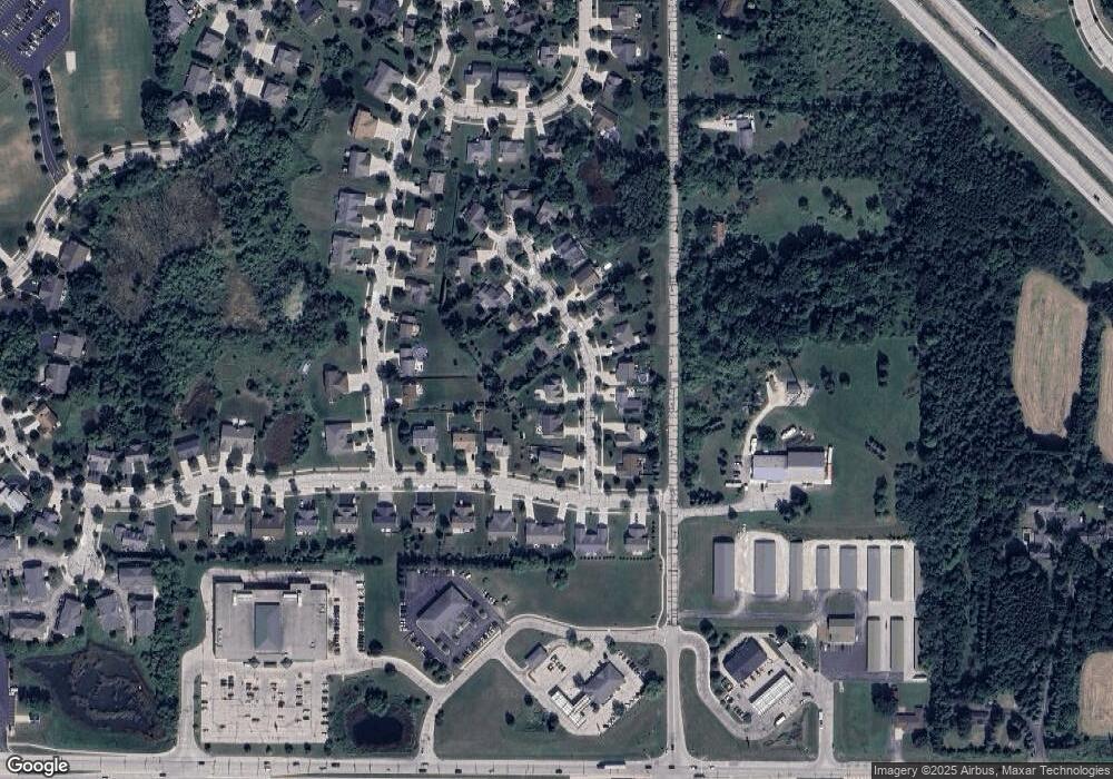
Map
Nearby Homes
- 322 Dr
- 1101 Ellys Way
- 231 Nordic Ln
- 1004 Lous Way
- 3933 Lovers Ln Unit 3935
- 3943 Lovers Ln
- 4434 Foxboro Ct
- 420 Cobblestone Ct
- 1867 Woodland Way Unit 421-4
- 1844 Woodland Way Unit 431-1
- 305 Kames Ct
- 4480 Cedar Creek Rd
- 449 Slinger Rd Unit 3
- 572 Cedar Bluffs Way
- 3555 Hillside Rd
- 2491 Boulder Dr
- 4229 Sherman Rd
- 624 Kettle Moraine Dr S
- 308 Oak St Unit 102
- 308 Oak St Unit 101