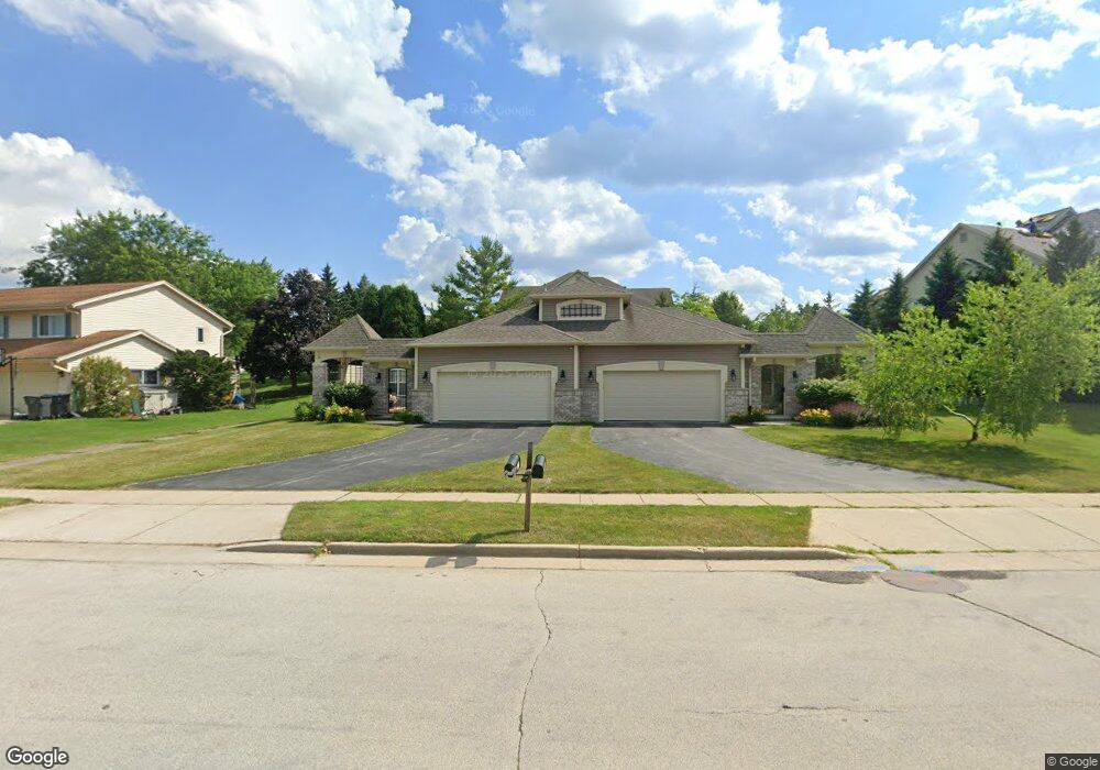
561 Quinlan Dr Unit 561 Pewaukee, WI 53072
Estimated Value: $283,000 - $337,000
Studio
--
Bath
--
Sq Ft
6,970
Sq Ft Lot
About This Home
This home is located at 561 Quinlan Dr Unit 561, Pewaukee, WI 53072 and is currently estimated at $311,875. 561 Quinlan Dr Unit 561 is a home located in Waukesha County with nearby schools including Pewaukee Lake Elementary School, Asa Clark Middle School, and Pewaukee High School.
Ownership History
Date
Name
Owned For
Owner Type
Purchase Details
Closed on
Jul 23, 2007
Sold by
Mayberry Development Llc
Bought by
Bartnik Sandra L
Current Estimated Value
Home Financials for this Owner
Home Financials are based on the most recent Mortgage that was taken out on this home.
Original Mortgage
$189,900
Outstanding Balance
$119,867
Interest Rate
6.69%
Mortgage Type
Purchase Money Mortgage
Estimated Equity
$192,008
Create a Home Valuation Report for This Property
The Home Valuation Report is an in-depth analysis detailing your home's value as well as a comparison with similar homes in the area
Home Values in the Area
Average Home Value in this Area
Purchase History
| Date | Buyer | Sale Price | Title Company |
|---|---|---|---|
| Bartnik Sandra L | $249,900 | None Available |
Source: Public Records
Mortgage History
| Date | Status | Borrower | Loan Amount |
|---|---|---|---|
| Open | Bartnik Sandra L | $189,900 |
Source: Public Records
Tax History
| Year | Tax Paid | Tax Assessment Tax Assessment Total Assessment is a certain percentage of the fair market value that is determined by local assessors to be the total taxable value of land and additions on the property. | Land | Improvement |
|---|---|---|---|---|
| 2024 | $3,356 | $301,100 | $45,000 | $256,100 |
| 2023 | $3,472 | $282,500 | $42,000 | $240,500 |
| 2022 | $3,330 | $260,000 | $42,000 | $218,000 |
| 2021 | $3,581 | $260,000 | $42,000 | $218,000 |
| 2020 | $3,924 | $260,000 | $42,000 | $218,000 |
| 2019 | $3,763 | $260,000 | $42,000 | $218,000 |
| 2018 | $3,028 | $212,300 | $36,000 | $176,300 |
| 2017 | $3,115 | $212,300 | $36,000 | $176,300 |
| 2016 | $3,099 | $189,500 | $27,000 | $162,500 |
| 2015 | $3,113 | $189,500 | $27,000 | $162,500 |
| 2014 | $3,778 | $189,500 | $27,000 | $162,500 |
| 2013 | $3,778 | $199,000 | $27,000 | $172,000 |
Source: Public Records
Map
Nearby Homes
- 450 Sandy Cir
- 394 Sandy Cir
- 327 Sandy Cir
- 949 Quinlan Dr
- 1055 Quinlan Dr Unit C
- 1084 Quinlan Dr Unit A
- 207 Parkview Ct
- 1043 Quinlan Dr Unit H
- 321 Park Hill Dr Unit E
- 384 Park Hill Dr Unit E
- 360 Park Hill Dr Unit C
- 358 Park Hill Dr Unit B
- 130 W Wisconsin Ave Unit 23
- 100 Main St Unit 204
- N44W25902 Lindsay Rd
- W226N1933 Cedar Court Ct Unit 202
- W226N2020 Cedar Lane Ln Unit 1002
- 1114 Oxbow Ct
- W226N2020 Cedar Lane Ln Unit 1004
- W226N2020 Cedar Lane Ln Unit 1001
- 555 Quinlan Dr Unit 555
- 547 Quinlan Dr
- 560 Foxtail Dr Unit 560 Foxtail Dr.
- 560 Foxtail Dr
- 554 Quinlan Dr Unit 256
- 540 Quinlan Dr Unit 42
- 535 Quinlan Dr
- 534 Quinlan Dr Unit 534
- 580 Foxtail Dr
- 585 Grandview Ct Unit B
- 537 Grandview Ct Unit D
- 537 Grandview Ct Unit A
- 537 Grandview Ct Unit C
- 585 Grandview Ct Unit A
- 585 Grandview Ct Unit D
- 555 Grandview Ct Unit A
- 538 Grandview Ct Unit A
- 595 Grandview Ct Unit D
- 538 Grandview Ct Unit D
- 538 Grandview Ct Unit C
Your Personal Tour Guide
Ask me questions while you tour the home.