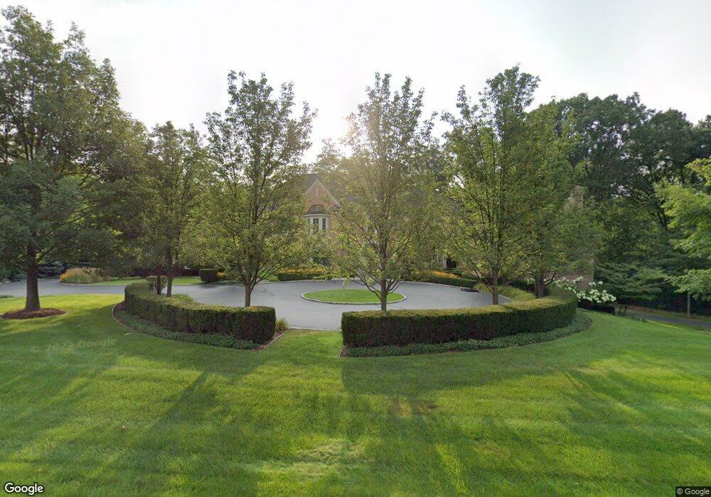
561 Rudgate Rd Bloomfield Hills, MI 48304
Estimated Value: $2,490,000 - $3,393,000
4
Beds
6
Baths
6,439
Sq Ft
$435/Sq Ft
Est. Value
About This Home
This home is located at 561 Rudgate Rd, Bloomfield Hills, MI 48304 and is currently estimated at $2,800,166, approximately $434 per square foot. 561 Rudgate Rd is a home located in Oakland County with nearby schools including Way Elementary School, South Hills Middle School, and Bloomfield Hills High School.
Ownership History
Date
Name
Owned For
Owner Type
Purchase Details
Closed on
Oct 21, 2020
Sold by
Masserang Keith M and Masserang Carolyn P
Bought by
Masserang Keith M and Masserang Carolyn P
Current Estimated Value
Purchase Details
Closed on
Jun 20, 2003
Sold by
Kircos Marc J and Kircos Carolynne S
Bought by
Masserang Keith M and Masserang Carolyn P
Purchase Details
Closed on
Aug 10, 2001
Sold by
Tuscan Development Co
Bought by
Tri Mount Estates Homes Inc
Purchase Details
Closed on
Apr 28, 1997
Sold by
Kilduff Kay
Bought by
Tuscan Development Co
Create a Home Valuation Report for This Property
The Home Valuation Report is an in-depth analysis detailing your home's value as well as a comparison with similar homes in the area
Home Values in the Area
Average Home Value in this Area
Purchase History
| Date | Buyer | Sale Price | Title Company |
|---|---|---|---|
| Masserang Keith M | -- | None Available | |
| Masserang Keith M | -- | Metropolitan Title Company | |
| Tri Mount Estates Homes Inc | -- | -- | |
| Tuscan Development Co | -- | -- |
Source: Public Records
Tax History Compared to Growth
Tax History
| Year | Tax Paid | Tax Assessment Tax Assessment Total Assessment is a certain percentage of the fair market value that is determined by local assessors to be the total taxable value of land and additions on the property. | Land | Improvement |
|---|---|---|---|---|
| 2024 | $25,422 | $1,375,750 | $0 | $0 |
| 2023 | $24,457 | $1,293,440 | $0 | $0 |
| 2022 | $28,275 | $1,273,950 | $0 | $0 |
| 2021 | $27,236 | $1,241,170 | $0 | $0 |
| 2020 | $22,331 | $1,160,700 | $0 | $0 |
| 2019 | $25,354 | $1,112,300 | $0 | $0 |
| 2018 | $25,423 | $1,084,200 | $0 | $0 |
| 2017 | $25,159 | $1,071,390 | $0 | $0 |
| 2016 | $25,074 | $1,027,810 | $0 | $0 |
| 2015 | -- | $976,010 | $0 | $0 |
| 2014 | -- | $825,960 | $0 | $0 |
| 2011 | -- | $636,020 | $0 | $0 |
Source: Public Records
Map
Nearby Homes
- 596 Rudgate Rd
- 692 Bennington Dr
- 270 Martell Dr
- 931 Vaughan Rd
- 1348 Charrington Rd
- 341 Keswick Rd
- 4650 Lahser Rd
- 1287 Charrington Rd
- 362 Keswick Rd
- 275 Barden Rd
- 60 Kingsley Manor Dr
- 5825 Lahser Rd
- 130 Denbar Rd
- 3546 Bloomfield Club Dr
- 110 Denbar Rd
- 229 Barden Rd
- 1019 N Cranbrook Rd
- 33 Boulder Ln Unit 2
- 1260 Lyonhurst St
- 2579 Amberly Rd
- 555 Rudgate Rd
- 465 Lone Pine Ct
- 401 Lone Pine Ct
- 554 Bennington Dr
- 559 Bennington Dr
- 569 Rudgate Rd
- 456 Lone Pine Ct
- 351 Lone Pine Ct
- 412 Lone Pine Ct
- 572 Bennington Dr
- 581 Bennington Dr
- 570 Rudgate Rd
- 445 Lone Pine Rd
- 362 Lone Pine Ct
- 592 Bennington Dr
- 601 Bennington Dr
- 577 Rudgate Rd
- 578 Rudgate Rd
- 612 Bennington Dr
- 459 Martell Dr